THE ADVENTURE COLLECTIVE® · Independent discovery and booking for outdoor travel

A moderate-to-challenging day hike into mixed oak-pine forest leads to Jannet Chouwen, a clear mountain lake fed by Nahr Ibrahim. Expect 3–4 hours round-trip, shaded stream crossings, and a refreshing swim at 600 m elevation.
A moderate-to-challenging day hike into mixed oak-pine forest leads to Jannet Chouwen, a clear mountain lake fed by Nahr Ibrahim. Expect 3–4 hours round-trip, shaded stream crossings, and a refreshing swim at 600 m elevation.
A narrow trail threads through a mixed oak and pine stand, the crunch of fallen needles underfoot punctuated by the river's voice as it pushes downhill. After a steady climb the forest opens to the lake — clear, cool, and edged with stones — where hikers trade the effort of ascent for the lift of wind across the water.
Verified experiences and guided adventures in the surrounding area.
Operated by Zingy Ride · Ftouh, Keserwan-Jbeil
A narrow trail threads through a mixed oak and pine stand, the crunch of fallen needles underfoot punctuated by the river's voice as it pushes downhill. After a steady climb the forest opens to the lake — clear, cool, and edged with stones — where hikers trade the effort of ascent for the lift of wind across the water.
The route sits in Ftouh, Keserwan, within the Jbeil Caza landscape carved by Nahr Ibrahim (the Adonis River). Geologically the valley is limestone country: abrupt ridgelines, karst outcrops and an altitude near 600 m that gives the lake brisk, often bright conditions. Culturally the area ties to ancient coastal settlements; Byblos (Jbeil) downstream has been inhabited for millennia and local village life still orients around seasonal springs and grazing routes.
Expect roughly 3–4 hours of moving time round-trip on singletrack and dirt paths with short steep pitches — steeper on the way up, faster on the return. Terrain alternates from packed soil to loose scree and shaded stream crossings where roots act like rungs. Bring a swimsuit and sandals for a lake dip; water can be chilly even in summer.
Practical notes: start mid-morning to avoid midday heat and allow time for photos and a relaxed swim; carry at least 1.5–2 L of water, basic first aid, and layered clothing for variable mountain microclimates. The lake rewards steady effort — and the forest seems to watch as you pass, offering shaded rest and running water that dares you to stay longer.
The walking portion is about 3 hours round-trip with steep ascents that are more demanding on the way up; overall difficulty is challenging for those unaccustomed to sustained climbing.
Yes — the lake is a common swim spot; the water is clear but cold and rocky along the shore, so use caution and water shoes.
Most visitors base in Beirut or Byblos (Jbeil) and drive roughly 40 km inland; tours often include transportation in an air-conditioned vehicle.
Facilities are minimal to non-existent at the lake—plan for no restrooms or shops and pack out all trash.
Zingy Ride operates guided outdoor trips and adventures with an emphasis on safety, stewardship, and memorable experiences.
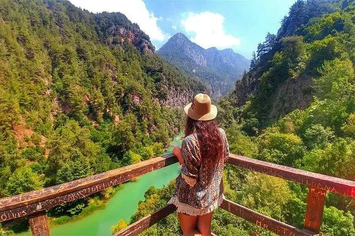
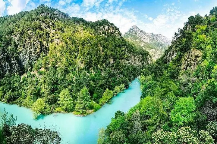
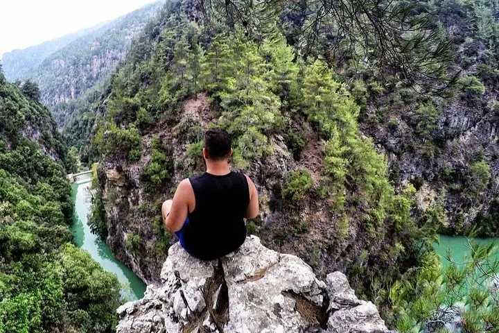
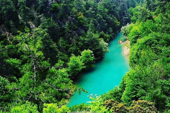
A narrow trail threads through a mixed oak and pine stand, the crunch of fallen needles underfoot punctuated by the river's voice as it pushes downhill. After a steady climb the forest opens to the lake — clear, cool, and edged with stones — where hikers trade the effort of ascent for the lift of wind across the water.
A narrow trail threads through a mixed oak and pine stand, the crunch of fallen needles underfoot punctuated by the river's voice as it pushes downhill. After a steady climb the forest opens to the lake — clear, cool, and edged with stones — where hikers trade the effort of ascent for the lift of wind across the water.
The route sits in Ftouh, Keserwan, within the Jbeil Caza landscape carved by Nahr Ibrahim (the Adonis River). Geologically the valley is limestone country: abrupt ridgelines, karst outcrops and an altitude near 600 m that gives the lake brisk, often bright conditions. Culturally the area ties to ancient coastal settlements; Byblos (Jbeil) downstream has been inhabited for millennia and local village life still orients around seasonal springs and grazing routes.
Expect roughly 3–4 hours of moving time round-trip on singletrack and dirt paths with short steep pitches — steeper on the way up, faster on the return. Terrain alternates from packed soil to loose scree and shaded stream crossings where roots act like rungs. Bring a swimsuit and sandals for a lake dip; water can be chilly even in summer.
Practical notes: start mid-morning to avoid midday heat and allow time for photos and a relaxed swim; carry at least 1.5–2 L of water, basic first aid, and layered clothing for variable mountain microclimates. The lake rewards steady effort — and the forest seems to watch as you pass, offering shaded rest and running water that dares you to stay longer.