THE ADVENTURE COLLECTIVE® · Independent discovery and booking for outdoor travel

A full-day trek from Pattipola or Ohiya through Horton Plains to Kirigalpoththa rewards hikers with highland panoramas, endemic wildlife, and a challenging summit at 2,388 m. Start early, carry waterproof layers and water, and expect a mix of boardwalk, grassland and rocky ascent.
A full-day trek from Pattipola or Ohiya through Horton Plains to Kirigalpoththa rewards hikers with highland panoramas, endemic wildlife, and a challenging summit at 2,388 m. Start early, carry waterproof layers and water, and expect a mix of boardwalk, grassland and rocky ascent.
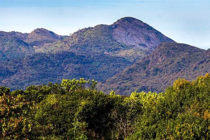
Fog threads through grasslands as the group assembles at dawn near Pattipola station, breath visible in the cool highland air. The trail pushes across Horton Plains' flat, peat-rich plateau before narrowing and angling sharply toward Kirigalpoththa’s summit, Sri Lanka’s second-highest peak accessible to the public at 2,388 m. Trees thin, winds pick up, and the landscape opens to long views of cloud-draped ridges and teardrop valleys.
Verified experiences and guided adventures in the surrounding area.
Operated by Lakpura LLC · Pattipola, Central Province
Fog threads through grasslands as the group assembles at dawn near Pattipola station, breath visible in the cool highland air. The trail pushes across Horton Plains' flat, peat-rich plateau before narrowing and angling sharply toward Kirigalpoththa’s summit, Sri Lanka’s second-highest peak accessible to the public at 2,388 m. Trees thin, winds pick up, and the landscape opens to long views of cloud-draped ridges and teardrop valleys.
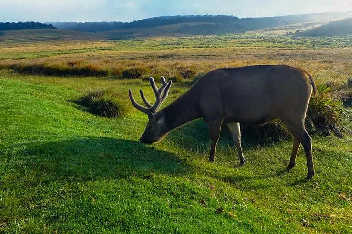
Horton Plains was carved by uplift and deep weathering of Precambrian rocks; its plateau and escarpments feed the headwaters of the country's major rivers. The park was set aside in the 19th and 20th centuries to protect montane grassland and cloud forest—habitats for endemic birds and mammals such as purple-faced langurs and sambar deer. Local hill-country culture is visible in stone-cut walls, tea estates below the park, and the railway heritage at Ohiya and Pattipola.
Practically, this is a long, exposed day-hike: expect roughly 10–12 hours on foot, mixed boardwalk, compacted soil and rocky ascent, with sections that can be slick. Carry layers, rain protection, and at least 2–3 liters of water; start before sunrise to avoid mid-day wind and to catch clearer mountain views. Follow your guide’s briefing, stick to marked routes inside the national park, and keep noise low—quiet increases chances of bird and mammal encounters. Lunch is typically a local rice-and-curry meal provided after the summit.
The day rewards persistent hikers with broad, highland panoramas and a sensory lesson in Sri Lanka’s montane ecology—wind, cloud, and the steady pulse of the high country underfoot.
Expect a long, challenging day with sustained ascent; the route includes boardwalks and rocky sections—moderate to strong fitness is recommended.
Meeting points are Pattipola railway station or Ohiya early in the morning; confirm your pickup location when you book.
Yes—the Horton Plains National Park entrance fee is typically included in organized hiking packages like this one.
Quiet hikers may encounter sambar deer, purple-faced langurs, endemic birds, and small mammals such as chevrotain, especially in early morning.
Lakpura LLC operates guided outdoor trips and adventures with an emphasis on safety, stewardship, and memorable experiences.
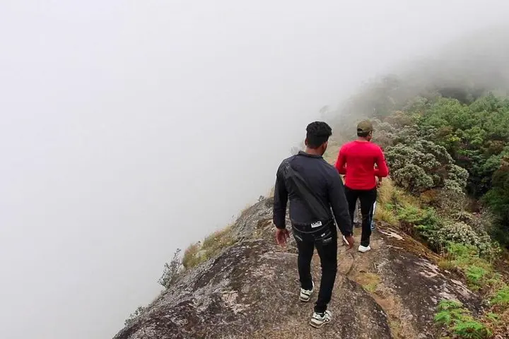
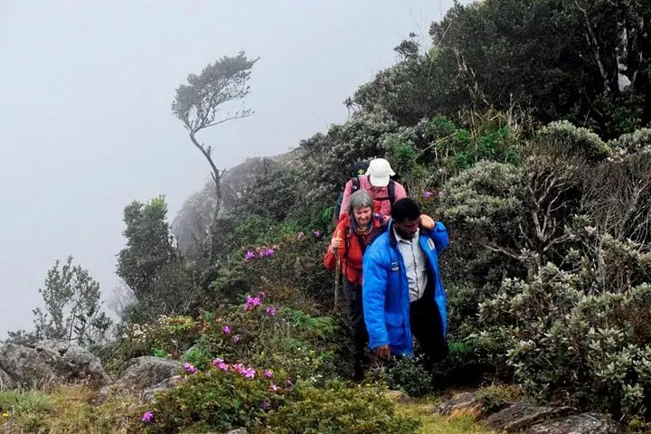
Fog threads through grasslands as the group assembles at dawn near Pattipola station, breath visible in the cool highland air. The trail pushes across Horton Plains' flat, peat-rich plateau before narrowing and angling sharply toward Kirigalpoththa’s summit, Sri Lanka’s second-highest peak accessible to the public at 2,388 m. Trees thin, winds pick up, and the landscape opens to long views of cloud-draped ridges and teardrop valleys.
Fog threads through grasslands as the group assembles at dawn near Pattipola station, breath visible in the cool highland air. The trail pushes across Horton Plains' flat, peat-rich plateau before narrowing and angling sharply toward Kirigalpoththa’s summit, Sri Lanka’s second-highest peak accessible to the public at 2,388 m. Trees thin, winds pick up, and the landscape opens to long views of cloud-draped ridges and teardrop valleys.
Horton Plains was carved by uplift and deep weathering of Precambrian rocks; its plateau and escarpments feed the headwaters of the country's major rivers. The park was set aside in the 19th and 20th centuries to protect montane grassland and cloud forest—habitats for endemic birds and mammals such as purple-faced langurs and sambar deer. Local hill-country culture is visible in stone-cut walls, tea estates below the park, and the railway heritage at Ohiya and Pattipola.
Practically, this is a long, exposed day-hike: expect roughly 10–12 hours on foot, mixed boardwalk, compacted soil and rocky ascent, with sections that can be slick. Carry layers, rain protection, and at least 2–3 liters of water; start before sunrise to avoid mid-day wind and to catch clearer mountain views. Follow your guide’s briefing, stick to marked routes inside the national park, and keep noise low—quiet increases chances of bird and mammal encounters. Lunch is typically a local rice-and-curry meal provided after the summit.
The day rewards persistent hikers with broad, highland panoramas and a sensory lesson in Sri Lanka’s montane ecology—wind, cloud, and the steady pulse of the high country underfoot.