THE ADVENTURE COLLECTIVE® · Independent discovery and booking for outdoor travel

Climb to Pico del Águila at 3,930 m on a private half‑day tour from Mexico City. Expect steep, high‑altitude hiking through fir forest, panoramic volcano views and a rewarding summit atmosphere.
Climb to Pico del Águila at 3,930 m on a private half‑day tour from Mexico City. Expect steep, high‑altitude hiking through fir forest, panoramic volcano views and a rewarding summit atmosphere.
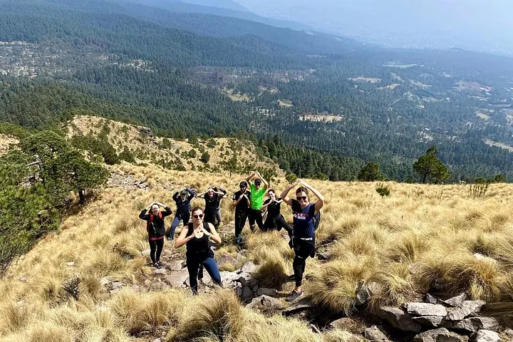
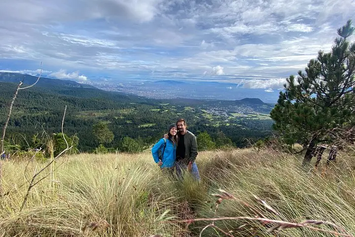
You step out of the car into thin, cool air and the city drops away beneath you—an expanse of roofs, highways and haze framed by volcanic silhouettes. The trail climbs immediately, fir trunks crowding the path and the wind threading through conifers as if urging you upward. Pico del Águila sits at 3,930 m, and the slope tightens to steep, boot-eating pitches where the mountain seems to lean in.
Verified experiences and guided adventures in the surrounding area.
Operated by NATO Experiences · Mexico City, Ciudad de México
You step out of the car into thin, cool air and the city drops away beneath you—an expanse of roofs, highways and haze framed by volcanic silhouettes. The trail climbs immediately, fir trunks crowding the path and the wind threading through conifers as if urging you upward. Pico del Águila sits at 3,930 m, and the slope tightens to steep, boot-eating pitches where the mountain seems to lean in.
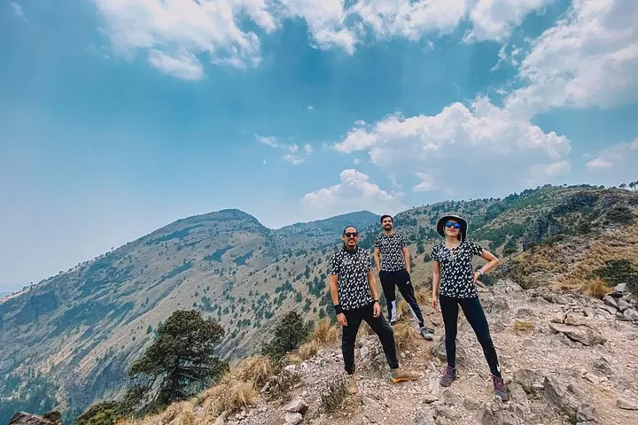
Geology here is blunt and recent: part of the Trans‑Mexican Volcanic Belt, Ajusco’s ridges are shaped by lava flows and volcanic cones like Xitle. Culturally, the highlands have been a weekend escape for capitalinos for generations—places to reconnect with air, water and a different pace of life. The Cruz del Márquez and neighboring cones make for dramatic backdrops; on a clear day you can pick out Iztaccíhuatl and Popocatépetl, smoke sometimes curling from their summits.
Expect 2–4 hours of hiking to the top depending on pace, with sections up to 40° incline. Trails wind through dense coniferous forest, loose scree and steeper rockier pitches near the crest. The operator supplies snacks, juice and hiking poles, but bring layered clothing, extra water and a headlamp if you’ll be out near dawn or dusk.
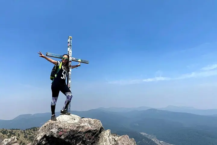
Plan to start early for stable weather and clearer views, watch for altitude effects above 3,500 m, and respect a fragile high‑altitude ecosystem—stay on the trail, pack out trash, and avoid fires. The summit reward is simple: wide sky, the city beneath, and a feeling that you earned each step on the way up.
The ascent typically takes 2–4 hours depending on fitness and pace; the full private tour is scheduled as a half‑day (around 3–6 hours including transport and breaks).
No technical climbing gear is needed—routes are hiking trails with occasional steep pitches and loose scree; poles and good boots are recommended.
Not recommended for pregnant travelers, people with serious back or heart conditions, or anyone unable to handle sustained uphill hiking at high altitude.
On clear days you can see Mexico City spread below and nearby volcanic cones including Xitle, Iztaccíhuatl and Popocatépetl; visibility depends on weather and air quality.
NATO Experiences operates guided outdoor trips and adventures with an emphasis on safety, stewardship, and memorable experiences.
You step out of the car into thin, cool air and the city drops away beneath you—an expanse of roofs, highways and haze framed by volcanic silhouettes. The trail climbs immediately, fir trunks crowding the path and the wind threading through conifers as if urging you upward. Pico del Águila sits at 3,930 m, and the slope tightens to steep, boot-eating pitches where the mountain seems to lean in.
You step out of the car into thin, cool air and the city drops away beneath you—an expanse of roofs, highways and haze framed by volcanic silhouettes. The trail climbs immediately, fir trunks crowding the path and the wind threading through conifers as if urging you upward. Pico del Águila sits at 3,930 m, and the slope tightens to steep, boot-eating pitches where the mountain seems to lean in.
Geology here is blunt and recent: part of the Trans‑Mexican Volcanic Belt, Ajusco’s ridges are shaped by lava flows and volcanic cones like Xitle. Culturally, the highlands have been a weekend escape for capitalinos for generations—places to reconnect with air, water and a different pace of life. The Cruz del Márquez and neighboring cones make for dramatic backdrops; on a clear day you can pick out Iztaccíhuatl and Popocatépetl, smoke sometimes curling from their summits.
Expect 2–4 hours of hiking to the top depending on pace, with sections up to 40° incline. Trails wind through dense coniferous forest, loose scree and steeper rockier pitches near the crest. The operator supplies snacks, juice and hiking poles, but bring layered clothing, extra water and a headlamp if you’ll be out near dawn or dusk.
Plan to start early for stable weather and clearer views, watch for altitude effects above 3,500 m, and respect a fragile high‑altitude ecosystem—stay on the trail, pack out trash, and avoid fires. The summit reward is simple: wide sky, the city beneath, and a feeling that you earned each step on the way up.