THE ADVENTURE COLLECTIVE® · Independent discovery and booking for outdoor travel

Climb Santa Ana (Ilamatepec) for a rim walk around an emerald crater, then drive to Lake Coatepeque for sweeping views and lunch. This full-day hike mixes volcanic geology, coffee-country forests, and compact transportation logistics—perfect for a physically prepared day hiker.
Climb Santa Ana (Ilamatepec) for a rim walk around an emerald crater, then drive to Lake Coatepeque for sweeping views and lunch. This full-day hike mixes volcanic geology, coffee-country forests, and compact transportation logistics—perfect for a physically prepared day hiker.
Fog thins as the minivan drops the group at the trailhead and the slope of Ilamatepec rises like a raw ridge against a pale sky. The trail immediately threads through pine and coffee terraces, the forest smelling of damp earth and crushed needle. As walkers gain rhythm the path opens to volcanic scree; the crater’s emerald lagoon appears suddenly, an impossible green bowl framed by jagged rock.
Verified experiences and guided adventures in the surrounding area.
Operated by El Salvador Positive Tours · Santa Ana, Santa Ana Department
Fog thins as the minivan drops the group at the trailhead and the slope of Ilamatepec rises like a raw ridge against a pale sky. The trail immediately threads through pine and coffee terraces, the forest smelling of damp earth and crushed needle. As walkers gain rhythm the path opens to volcanic scree; the crater’s emerald lagoon appears suddenly, an impossible green bowl framed by jagged rock.
Santa Ana (Ilamatepec) is the highest peak in El Salvador and a focal point of the Apaneca–Ilamatepec volcanic range. Its last notable eruption was in 2005—recent enough that the terrain still shows fresh lava flows and altered vegetation patterns. Geologically it’s a stratovolcano with a deep, water-filled crater; culturally the slopes have long supported coffee farms and small rural communities whose livelihoods follow the mountain’s microclimates.
On this day tour expect roughly two hours up and two down on an uneven, sometimes-steep trail, then a short drive to Lake Coatepeque for panoramic lunch (not included). The crater rim walk rewards photographers and birdwatchers; currents of wind push along the rim and thermals lift raptors overhead.
Practical notes: start early to avoid midday heat and bring 2–3 liters of water, sturdy boots, a light rain shell, and snacks. Altitude reaches about 2,380 m—move at a steady pace and watch footing on loose volcanic rock. Guides in small groups manage pacing and permit time at the crater; pack out all trash and respect fragile rim vegetation.
The walking portion is about 2 hours up and 2 hours down on a steep, uneven trail—rated moderate; expect loose volcanic rock and some exposed sections.
No technical climbing is required, but the summit is near 2,380 m; be prepared for sustained effort and slower breathing if you’re not acclimated.
Tours typically include hotel pickup in San Salvador and nearby coastal towns; confirm your pickup point and arrival time when booking.
El Salvador Positive Tours operates guided outdoor trips and adventures with an emphasis on safety, stewardship, and memorable experiences.
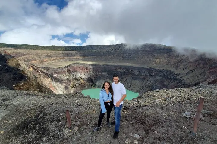
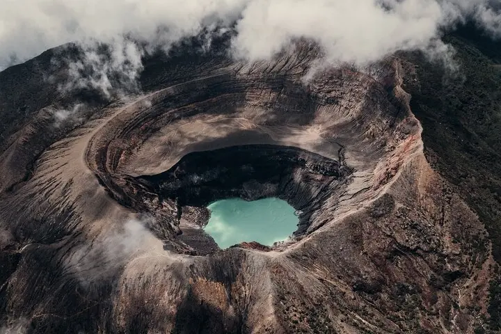
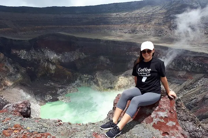
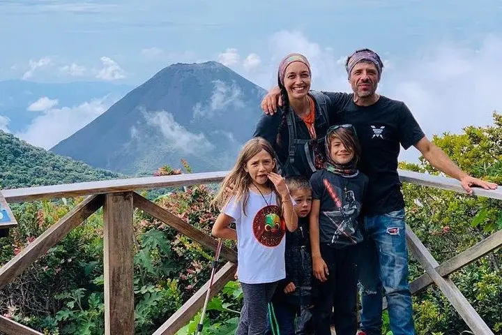
Fog thins as the minivan drops the group at the trailhead and the slope of Ilamatepec rises like a raw ridge against a pale sky. The trail immediately threads through pine and coffee terraces, the forest smelling of damp earth and crushed needle. As walkers gain rhythm the path opens to volcanic scree; the crater’s emerald lagoon appears suddenly, an impossible green bowl framed by jagged rock.
Fog thins as the minivan drops the group at the trailhead and the slope of Ilamatepec rises like a raw ridge against a pale sky. The trail immediately threads through pine and coffee terraces, the forest smelling of damp earth and crushed needle. As walkers gain rhythm the path opens to volcanic scree; the crater’s emerald lagoon appears suddenly, an impossible green bowl framed by jagged rock.
Santa Ana (Ilamatepec) is the highest peak in El Salvador and a focal point of the Apaneca–Ilamatepec volcanic range. Its last notable eruption was in 2005—recent enough that the terrain still shows fresh lava flows and altered vegetation patterns. Geologically it’s a stratovolcano with a deep, water-filled crater; culturally the slopes have long supported coffee farms and small rural communities whose livelihoods follow the mountain’s microclimates.
On this day tour expect roughly two hours up and two down on an uneven, sometimes-steep trail, then a short drive to Lake Coatepeque for panoramic lunch (not included). The crater rim walk rewards photographers and birdwatchers; currents of wind push along the rim and thermals lift raptors overhead.
Practical notes: start early to avoid midday heat and bring 2–3 liters of water, sturdy boots, a light rain shell, and snacks. Altitude reaches about 2,380 m—move at a steady pace and watch footing on loose volcanic rock. Guides in small groups manage pacing and permit time at the crater; pack out all trash and respect fragile rim vegetation.