THE ADVENTURE COLLECTIVE® · Independent discovery and booking for outdoor travel

Drive from Timișoara into the Banat highlands, hike to the off-grid village of Inelet above 1,000 m, and share a traditional lunch with locals. Expect forest tracks, steady climbing and a day that blends geology, history and rural hospitality.
Drive from Timișoara into the Banat highlands, hike to the off-grid village of Inelet above 1,000 m, and share a traditional lunch with locals. Expect forest tracks, steady climbing and a day that blends geology, history and rural hospitality.
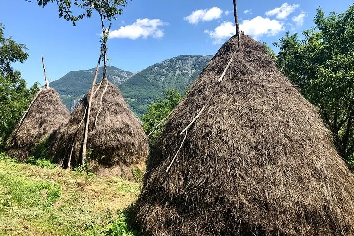
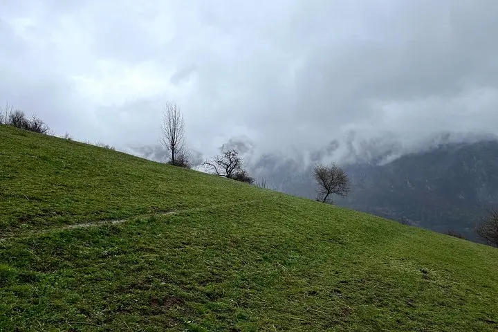
A low-slung morning bus hums out of Timișoara and the road peels south toward the Cerna valley; mist lifts from terraces, and the first pines begin to shoulder the sky. By the time you leave the car the air tastes like damp earth and wood smoke — Banat here feels lived-in and stubbornly old. The village of Inelet sits above 1,000 m (≈3,000 ft), a pocket of stone houses and sheepfolds with no electricity or asphalt, an enclave where rhythms are set by daylight and season.
Verified experiences and guided adventures in the surrounding area.
Operated by Timisoara City Tours · Băile Herculane, Caraș-Severin
A low-slung morning bus hums out of Timișoara and the road peels south toward the Cerna valley; mist lifts from terraces, and the first pines begin to shoulder the sky. By the time you leave the car the air tastes like damp earth and wood smoke — Banat here feels lived-in and stubbornly old. The village of Inelet sits above 1,000 m (≈3,000 ft), a pocket of stone houses and sheepfolds with no electricity or asphalt, an enclave where rhythms are set by daylight and season.
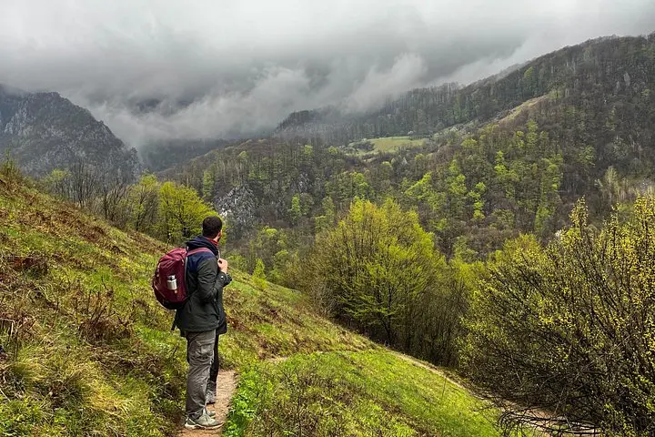
Banat’s layers of history—Dacian and Roman routes, Ottoman borders and Habsburg administration—have left a patchwork of languages, customs and built forms. Geologically this edge of the Southern Carpathians alternates folded sandstone and karst valleys; expect narrow ridgelines, spring-fed streams that dare you to cross on slick stones, and meadows used for summer grazing. Culturally the hike is an education: simple Romanian phrases ease entry into a homestyle lunch with a local family and stories about who stayed and who left.
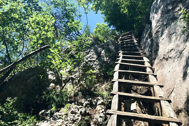
Practicalities are straightforward. The full outing runs as a long day (plan for 8–11 hours including driving), with uneven forest tracks, stony ascents and around 400–600 m of cumulative elevation change depending on route. Carry 2–3 L water, wear stiff-soled boots, and start early to avoid afternoon heat or sudden mountain showers. Respect private plots, leave no trace, and bring small bills for village purchases—the welcome in Inelet is generous, but infrastructure is not.
The tour includes about a 2.5–3 hour drive each way from Timișoara to the trailhead near Băile Herculane, depending on traffic and exact routing.
Yes—this trip includes a traditional lunch with a local family in Inelet and bottled water is provided.
Inelet has very limited or no mains electricity and cell service can be intermittent; plan accordingly and bring power for essential devices.
No technical experience is required, but you should be comfortable on uneven trails and able to handle steady climbs for several hours.
Timisoara City Tours operates guided outdoor trips and adventures with an emphasis on safety, stewardship, and memorable experiences.
A low-slung morning bus hums out of Timișoara and the road peels south toward the Cerna valley; mist lifts from terraces, and the first pines begin to shoulder the sky. By the time you leave the car the air tastes like damp earth and wood smoke — Banat here feels lived-in and stubbornly old. The village of Inelet sits above 1,000 m (≈3,000 ft), a pocket of stone houses and sheepfolds with no electricity or asphalt, an enclave where rhythms are set by daylight and season.
A low-slung morning bus hums out of Timișoara and the road peels south toward the Cerna valley; mist lifts from terraces, and the first pines begin to shoulder the sky. By the time you leave the car the air tastes like damp earth and wood smoke — Banat here feels lived-in and stubbornly old. The village of Inelet sits above 1,000 m (≈3,000 ft), a pocket of stone houses and sheepfolds with no electricity or asphalt, an enclave where rhythms are set by daylight and season.
Banat’s layers of history—Dacian and Roman routes, Ottoman borders and Habsburg administration—have left a patchwork of languages, customs and built forms. Geologically this edge of the Southern Carpathians alternates folded sandstone and karst valleys; expect narrow ridgelines, spring-fed streams that dare you to cross on slick stones, and meadows used for summer grazing. Culturally the hike is an education: simple Romanian phrases ease entry into a homestyle lunch with a local family and stories about who stayed and who left.
Practicalities are straightforward. The full outing runs as a long day (plan for 8–11 hours including driving), with uneven forest tracks, stony ascents and around 400–600 m of cumulative elevation change depending on route. Carry 2–3 L water, wear stiff-soled boots, and start early to avoid afternoon heat or sudden mountain showers. Respect private plots, leave no trace, and bring small bills for village purchases—the welcome in Inelet is generous, but infrastructure is not.