THE ADVENTURE COLLECTIVE® · Independent discovery and booking for outdoor travel

Launch from Ifonche at 1,000m and paraglide over the Barranco del Infierno, old Adeje massif peaks, and pine-carpeted slopes before landing at La Enramada Beach in La Caleta. This tandem flight blends dramatic geology with easy-access thrill.
Launch from Ifonche at 1,000m and paraglide over the Barranco del Infierno, old Adeje massif peaks, and pine-carpeted slopes before landing at La Enramada Beach in La Caleta. This tandem flight blends dramatic geology with easy-access thrill.
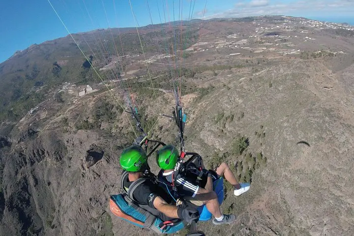
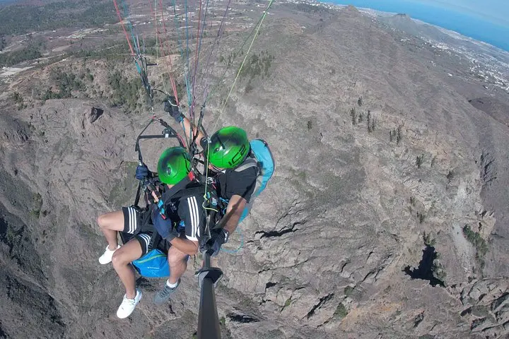
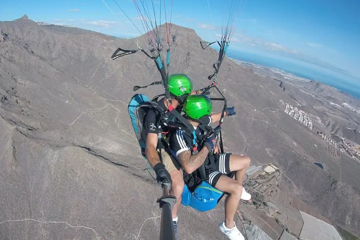
You step onto a sloping scrub-strewn launch at roughly 1,000 meters and the island exhales beneath you: volcanic ridges, terraced farm plots, and the steep throat of Barranco del Infierno fall away as wind lifts the wing.
Verified experiences and guided adventures in the surrounding area.
Operated by Let's Fly · Adeje, Santa Cruz de Tenerife
You step onto a sloping scrub-strewn launch at roughly 1,000 meters and the island exhales beneath you: volcanic ridges, terraced farm plots, and the steep throat of Barranco del Infierno fall away as wind lifts the wing.
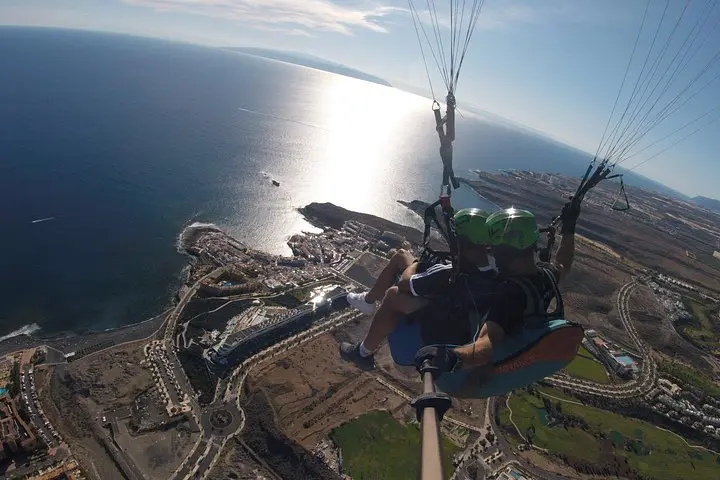
From lift-off the landscape reads like geological memory—old Adeje massif cliffs, Roques del Conde and Imoque carved by ancient lava and marine terraces. Below, the Ifonche Protected Landscape and Corona Forestal display Canary Island pines and hardy shrubs that have adapted to dry cliffs and salty air. The flight tracks a gradient from rugged highland to the softer line of coast; you’ll land on La Enramada Beach in La Caleta, where fishermen’s cafés and black-sand coves anchor local life.
Culturally, the Adeje area preserves rural pockets—stone terraces and isolated caseríos—that hint at centuries of subsistence agriculture before tourism reshaped the shore. Geologically Tenerife’s western flank is a collage of lava flows, tuff layers, and erosional gullies that make this route dramatic and varied.
Practical guidance: brief ground briefing and tandem harnessing make this suitable for most people; flights are weather-dependent and can be canceled for safety. Expect about two hours total including transfers; wear sturdy shoes for the launch and windproof layers for the descent. Bring a secure phone mount or camera tether—the view changes fast and you’ll want to record the drop from mountain green to Atlantic blue.
This is an accessible aerial adventure: low technical demand, high sensory reward. Time flights for stable morning or late-afternoon thermals and listen to your pilot—the wind is the true route-maker here.
Flights are suitable for most people; you only need to be able to walk short slopes and take a few light running steps for launch.
This activity is not recommended for pregnant travelers due to the forces involved during takeoff and landing.
Flights are weather-dependent; operators typically offer a full refund or reschedule if canceled for safety reasons.
Yes—most bookings include pickup and return in an air-conditioned vehicle from selected hotels or meeting points.
Let's Fly operates guided outdoor trips and adventures with an emphasis on safety, stewardship, and memorable experiences.
You step onto a sloping scrub-strewn launch at roughly 1,000 meters and the island exhales beneath you: volcanic ridges, terraced farm plots, and the steep throat of Barranco del Infierno fall away as wind lifts the wing.
You step onto a sloping scrub-strewn launch at roughly 1,000 meters and the island exhales beneath you: volcanic ridges, terraced farm plots, and the steep throat of Barranco del Infierno fall away as wind lifts the wing.
From lift-off the landscape reads like geological memory—old Adeje massif cliffs, Roques del Conde and Imoque carved by ancient lava and marine terraces. Below, the Ifonche Protected Landscape and Corona Forestal display Canary Island pines and hardy shrubs that have adapted to dry cliffs and salty air. The flight tracks a gradient from rugged highland to the softer line of coast; you’ll land on La Enramada Beach in La Caleta, where fishermen’s cafés and black-sand coves anchor local life.
Culturally, the Adeje area preserves rural pockets—stone terraces and isolated caseríos—that hint at centuries of subsistence agriculture before tourism reshaped the shore. Geologically Tenerife’s western flank is a collage of lava flows, tuff layers, and erosional gullies that make this route dramatic and varied.
Practical guidance: brief ground briefing and tandem harnessing make this suitable for most people; flights are weather-dependent and can be canceled for safety. Expect about two hours total including transfers; wear sturdy shoes for the launch and windproof layers for the descent. Bring a secure phone mount or camera tether—the view changes fast and you’ll want to record the drop from mountain green to Atlantic blue.
This is an accessible aerial adventure: low technical demand, high sensory reward. Time flights for stable morning or late-afternoon thermals and listen to your pilot—the wind is the true route-maker here.