THE ADVENTURE COLLECTIVE® · Independent discovery and booking for outdoor travel

A concentrated 15-day climb to Island Peak (6,189 m) combines Lukla flights, Sherpa villages and glacier travel to a high camp and summit ridge. Ideal for experienced trekkers with basic mountaineering skills and limited time in the Everest region.
A concentrated 15-day climb to Island Peak (6,189 m) combines Lukla flights, Sherpa villages and glacier travel to a high camp and summit ridge. Ideal for experienced trekkers with basic mountaineering skills and limited time in the Everest region.
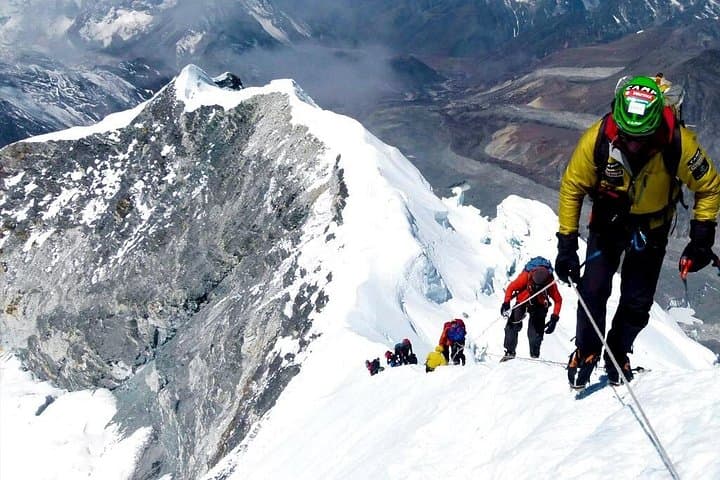
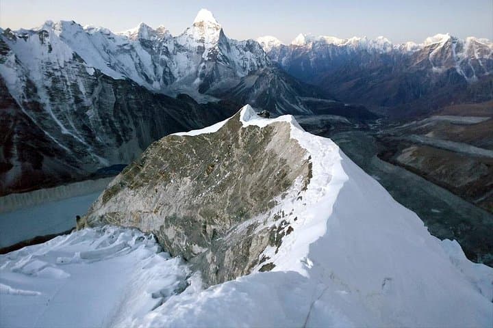
You step off the tiny Lukla airstrip into thin, bright air — prayer flags snapping and a ribbon of trail climbing toward fir forests and high moraine. Over the next two weeks the landscape tightens: terraced Sherpa villages, rhododendron forests giving way to wind-swept scree, and then the pale blue bowl of Imja Tsho beneath the flanks of Island Peak (Imja Tse, 6,189 m). From Chhukung the approach gains quickly to basecamp (≈4,970 m) and the high camp (≈5,600 m), then a pre-dawn rope-up across glacier and a steep 40–45° snow headwall to the sharp summit ridge.
Verified experiences and guided adventures in the surrounding area.
Operated by Alpine Club of Himalaya · Chhukung, Province No. 1
You step off the tiny Lukla airstrip into thin, bright air — prayer flags snapping and a ribbon of trail climbing toward fir forests and high moraine. Over the next two weeks the landscape tightens: terraced Sherpa villages, rhododendron forests giving way to wind-swept scree, and then the pale blue bowl of Imja Tsho beneath the flanks of Island Peak (Imja Tse, 6,189 m). From Chhukung the approach gains quickly to basecamp (≈4,970 m) and the high camp (≈5,600 m), then a pre-dawn rope-up across glacier and a steep 40–45° snow headwall to the sharp summit ridge.
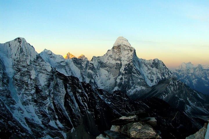
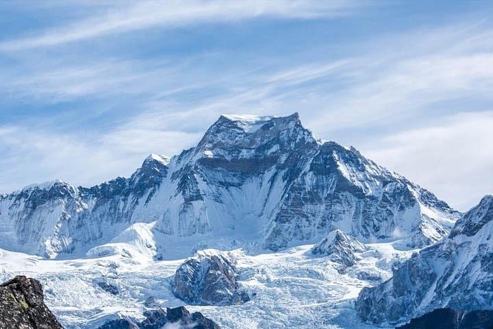
The route sits inside Sagarmatha National Park, a World Heritage area shaped by tectonic uplift and active glaciation; Sherpa monasteries and mani walls mark centuries of Himalayan culture along the way. Expect glacier travel, fixed ropes on the upper slopes, and clear views of Ama Dablam, Lhotse and the Everest massif on summit day.
Practically: the itinerary includes the Lukla flight, staged acclimatization (Namche, Dingboche, Chhukung), and tented high camps. Climbers need prior mountaineering experience—ice axe and crampon use, rope travel and crevasse awareness are required. Best windows are pre-monsoon (April–May) and post-monsoon (Sept–Nov) when weather is most stable. Carry layered clothing, high-altitude sleep systems provided, and allow extra summit days for weather. Hydrate, pace your ascent, and listen to guides during glacier crossings; Island Peak is technical but very achievable with proper training and respect for the mountain.
Yes—this itinerary expects basic mountaineering skills: crampon and ice‑axe use, roped glacier travel and comfort on exposed terrain; guided instruction may be provided but prior experience is strongly recommended.
Supplemental oxygen is not typically used for Island Peak (6,189 m) and is usually unnecessary with good acclimatization, but it can be arranged in exceptional cases.
Climbers need Sagarmatha National Park entry, TIMS card and an Island Peak climbing permit; the trip normally includes domestic Lukla flights and permits as part of the package.
Summit days are frequently delayed by high winds or snowfall—good operators schedule spare summit windows and experienced guides will prioritize safety over summit success.
Alpine Club of Himalaya operates guided outdoor trips and adventures with an emphasis on safety, stewardship, and memorable experiences.
You step off the tiny Lukla airstrip into thin, bright air — prayer flags snapping and a ribbon of trail climbing toward fir forests and high moraine. Over the next two weeks the landscape tightens: terraced Sherpa villages, rhododendron forests giving way to wind-swept scree, and then the pale blue bowl of Imja Tsho beneath the flanks of Island Peak (Imja Tse, 6,189 m). From Chhukung the approach gains quickly to basecamp (≈4,970 m) and the high camp (≈5,600 m), then a pre-dawn rope-up across glacier and a steep 40–45° snow headwall to the sharp summit ridge.
You step off the tiny Lukla airstrip into thin, bright air — prayer flags snapping and a ribbon of trail climbing toward fir forests and high moraine. Over the next two weeks the landscape tightens: terraced Sherpa villages, rhododendron forests giving way to wind-swept scree, and then the pale blue bowl of Imja Tsho beneath the flanks of Island Peak (Imja Tse, 6,189 m). From Chhukung the approach gains quickly to basecamp (≈4,970 m) and the high camp (≈5,600 m), then a pre-dawn rope-up across glacier and a steep 40–45° snow headwall to the sharp summit ridge.
The route sits inside Sagarmatha National Park, a World Heritage area shaped by tectonic uplift and active glaciation; Sherpa monasteries and mani walls mark centuries of Himalayan culture along the way. Expect glacier travel, fixed ropes on the upper slopes, and clear views of Ama Dablam, Lhotse and the Everest massif on summit day.
Practically: the itinerary includes the Lukla flight, staged acclimatization (Namche, Dingboche, Chhukung), and tented high camps. Climbers need prior mountaineering experience—ice axe and crampon use, rope travel and crevasse awareness are required. Best windows are pre-monsoon (April–May) and post-monsoon (Sept–Nov) when weather is most stable. Carry layered clothing, high-altitude sleep systems provided, and allow extra summit days for weather. Hydrate, pace your ascent, and listen to guides during glacier crossings; Island Peak is technical but very achievable with proper training and respect for the mountain.