THE ADVENTURE COLLECTIVE® · Independent discovery and booking for outdoor travel

A day hike from Paso de Cortés up Iztaccíhuatl offers 15–18 km of changing terrain and dramatic views of Popocatépetl. Expect high-altitude conditions, volcanic scree, and a strong cultural backdrop rooted in Nahua legend.
A day hike from Paso de Cortés up Iztaccíhuatl offers 15–18 km of changing terrain and dramatic views of Popocatépetl. Expect high-altitude conditions, volcanic scree, and a strong cultural backdrop rooted in Nahua legend.
A cold wind at 3,500 meters cuts across the trail as you leave the small parking area at Paso de Cortés. Pine trunks creak and the path narrows through oyamel forests; every clearing opens onto the bulky silhouette of Popocatépetl, steam punctuating a gray summit. The walk climbs from shaded woods into open alpine scrub, then onto stony, volcanic ground where each step scrapes out a new angle on the surrounding peaks.
Verified experiences and guided adventures in the surrounding area.
Operated by Hiking Puebla · Paso de Cortés, Estado de México
A cold wind at 3,500 meters cuts across the trail as you leave the small parking area at Paso de Cortés. Pine trunks creak and the path narrows through oyamel forests; every clearing opens onto the bulky silhouette of Popocatépetl, steam punctuating a gray summit. The walk climbs from shaded woods into open alpine scrub, then onto stony, volcanic ground where each step scrapes out a new angle on the surrounding peaks.
The route threads through Iztaccíhuatl-Popocatépetl National Park, an area shaped by repeated eruptions and glacial sculpting. Local Nahua stories give Iztaccíhuatl its name — the “Sleeping Woman” — and the volcanoes have guided routes, water sources and seasonal grazing for centuries. Geology is legible here: black lava beds, pumice slopes and moraines point to a violent past while mixed fir and pine stands show the slower work of recovery.
On a practical level expect a 15 km round-trip with options to extend to 18 km and a high point around 4,000–4,200 m. Trails vary from packed dirt to loose volcanic scree; good footwear and steady pacing matter more than speed. Guides typically schedule several technical stops for hydration and snacks and include bottled water, a crossing meal and a vegetarian lunch. Altitude, sun exposure and sudden weather shifts are the main hazards — start early, layer, and respect turnaround advice. For photographers and high-country hikers this is a compact, demanding day that rewards with huge, raw mountain views and wildlife sightings if you move quietly.
The distance is moderate but altitude makes it harder; allow a slower pace, take breaks, and be ready to turn back if you feel severe altitude symptoms.
There is an access fee for Iztaccíhuatl-Popocatépetl National Park that guides usually include; independent hikers should confirm current fees at the park entrance.
Keep an eye for the endemic teporingo rabbit in high meadows and raptors such as golden eagles or hawks circling the ridges.
Trails are visible but can be confusing above tree line and in bad weather; a bilingual guide improves safety and local knowledge, and is included in many organized trips.
Hiking Puebla operates guided outdoor trips and adventures with an emphasis on safety, stewardship, and memorable experiences.
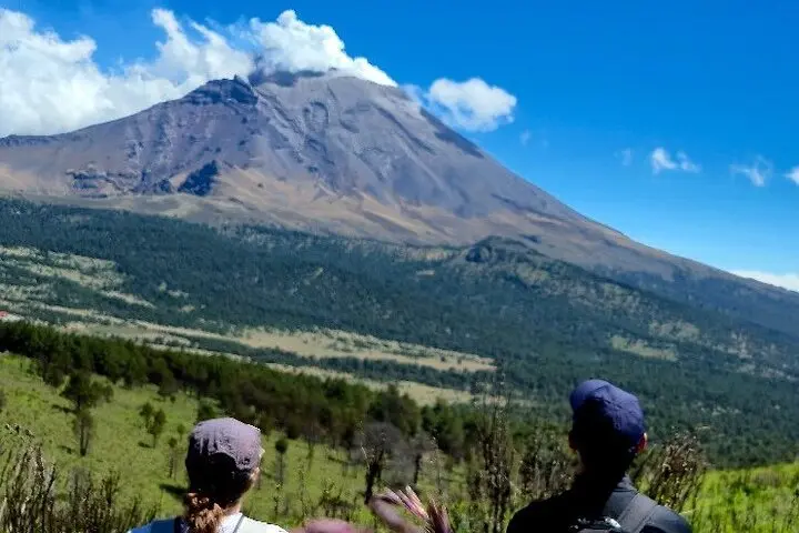
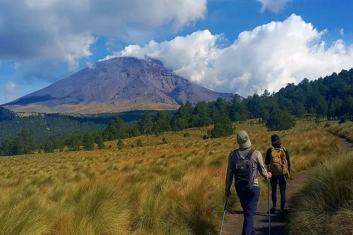
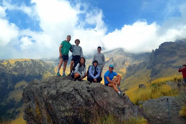
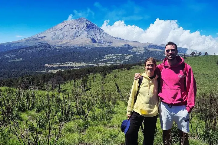
A cold wind at 3,500 meters cuts across the trail as you leave the small parking area at Paso de Cortés. Pine trunks creak and the path narrows through oyamel forests; every clearing opens onto the bulky silhouette of Popocatépetl, steam punctuating a gray summit. The walk climbs from shaded woods into open alpine scrub, then onto stony, volcanic ground where each step scrapes out a new angle on the surrounding peaks.
A cold wind at 3,500 meters cuts across the trail as you leave the small parking area at Paso de Cortés. Pine trunks creak and the path narrows through oyamel forests; every clearing opens onto the bulky silhouette of Popocatépetl, steam punctuating a gray summit. The walk climbs from shaded woods into open alpine scrub, then onto stony, volcanic ground where each step scrapes out a new angle on the surrounding peaks.
The route threads through Iztaccíhuatl-Popocatépetl National Park, an area shaped by repeated eruptions and glacial sculpting. Local Nahua stories give Iztaccíhuatl its name — the “Sleeping Woman” — and the volcanoes have guided routes, water sources and seasonal grazing for centuries. Geology is legible here: black lava beds, pumice slopes and moraines point to a violent past while mixed fir and pine stands show the slower work of recovery.
On a practical level expect a 15 km round-trip with options to extend to 18 km and a high point around 4,000–4,200 m. Trails vary from packed dirt to loose volcanic scree; good footwear and steady pacing matter more than speed. Guides typically schedule several technical stops for hydration and snacks and include bottled water, a crossing meal and a vegetarian lunch. Altitude, sun exposure and sudden weather shifts are the main hazards — start early, layer, and respect turnaround advice. For photographers and high-country hikers this is a compact, demanding day that rewards with huge, raw mountain views and wildlife sightings if you move quietly.