THE ADVENTURE COLLECTIVE® · Independent discovery and booking for outdoor travel

Take a full-day, high-altitude hike from Paso de Cortés to around 4,250 m, visiting Boca de Tiburón rock and the Mipulco Waterfalls. This route is short in distance but steep in elevation and requires acclimatization and good physical conditioning.
Take a full-day, high-altitude hike from Paso de Cortés to around 4,250 m, visiting Boca de Tiburón rock and the Mipulco Waterfalls. This route is short in distance but steep in elevation and requires acclimatization and good physical conditioning.
A thin wind meets you at the trailhead and the mountain answers with cold, clear air that cuts sharp around the shoulders. You leave Paso de Cortés and climb a volcanic spine: volcanic scree gives way to rocky switchbacks, the trails opening like pages of exposed andesitic geology. Halfway up, Boca de Tiburón—an angular volcanic tooth—appears as a raw landmark, and farther along the moss-lined channel you’ll hear Mipulco Waterfalls daring you to pause and feel the mountain’s origins.
Verified experiences and guided adventures in the surrounding area.
Operated by Maximo Adventures · Amecameca, Estado de México
A thin wind meets you at the trailhead and the mountain answers with cold, clear air that cuts sharp around the shoulders. You leave Paso de Cortés and climb a volcanic spine: volcanic scree gives way to rocky switchbacks, the trails opening like pages of exposed andesitic geology. Halfway up, Boca de Tiburón—an angular volcanic tooth—appears as a raw landmark, and farther along the moss-lined channel you’ll hear Mipulco Waterfalls daring you to pause and feel the mountain’s origins.
Iztaccíhuatl is a dormant stratovolcano whose ridgelines and glacial bowls were shaped through repeated eruptions and high‑altitude weathering. The route reflects that history: lava flows, compacted ash, and fractured rock underfoot. Local communities in the Amecameca corridor have long used these high passes for grazing and pilgrimage to the Popocatépetl–Iztaccíhuatl pair; expect to see seasonal shepherd tracks and small shrines near the higher ridges.
Practically, the challenge is altitude more than technical terrain: the hike is roughly 6.5 km (4 miles) one-way with about 700–900 m (2,300–3,000 ft) of ascent to the high point near 4,250 m (13,943 ft). Guides provide poles, helmets, and pickup from Mexico City; plan for a full day (10–12 hours), layered clothing, sun protection, and a deliberate, slow pace to acclimatize. Start early to avoid afternoon weather, monitor for altitude symptoms, and keep your energy with frequent snacks and water. The payoff is an austere, highland landscape—wind, volcanic rock, and clear views that make the effort plain and immediate.
The distance is moderate but the altitude makes it strenuous; expect breathlessness and slower pace—acclimatize beforehand and inform guides of any symptoms.
No technical gear is required for the described route—guides supply helmets and poles; crampons may be necessary in winter if ice or snow is present.
October–early December and March–May offer the most stable weather and clear views; avoid peak summer rains for better visibility and safer trails.
Yes—this tour includes round-trip pickup from Mexico City, private transport, certified guides, basic insurance, and use of provided hiking equipment.
Maximo Adventures operates guided outdoor trips and adventures with an emphasis on safety, stewardship, and memorable experiences.
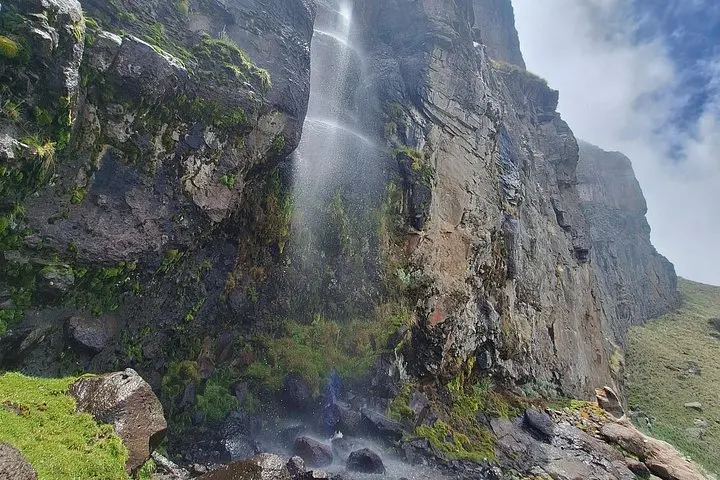
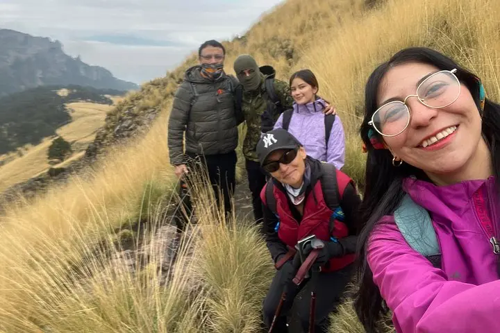
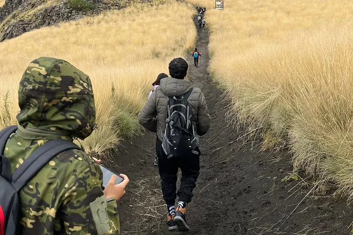
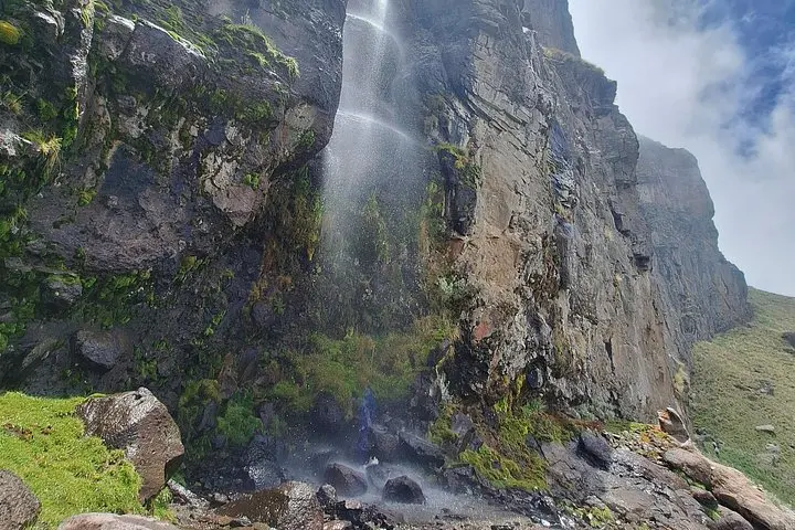
A thin wind meets you at the trailhead and the mountain answers with cold, clear air that cuts sharp around the shoulders. You leave Paso de Cortés and climb a volcanic spine: volcanic scree gives way to rocky switchbacks, the trails opening like pages of exposed andesitic geology. Halfway up, Boca de Tiburón—an angular volcanic tooth—appears as a raw landmark, and farther along the moss-lined channel you’ll hear Mipulco Waterfalls daring you to pause and feel the mountain’s origins.
A thin wind meets you at the trailhead and the mountain answers with cold, clear air that cuts sharp around the shoulders. You leave Paso de Cortés and climb a volcanic spine: volcanic scree gives way to rocky switchbacks, the trails opening like pages of exposed andesitic geology. Halfway up, Boca de Tiburón—an angular volcanic tooth—appears as a raw landmark, and farther along the moss-lined channel you’ll hear Mipulco Waterfalls daring you to pause and feel the mountain’s origins.
Iztaccíhuatl is a dormant stratovolcano whose ridgelines and glacial bowls were shaped through repeated eruptions and high‑altitude weathering. The route reflects that history: lava flows, compacted ash, and fractured rock underfoot. Local communities in the Amecameca corridor have long used these high passes for grazing and pilgrimage to the Popocatépetl–Iztaccíhuatl pair; expect to see seasonal shepherd tracks and small shrines near the higher ridges.
Practically, the challenge is altitude more than technical terrain: the hike is roughly 6.5 km (4 miles) one-way with about 700–900 m (2,300–3,000 ft) of ascent to the high point near 4,250 m (13,943 ft). Guides provide poles, helmets, and pickup from Mexico City; plan for a full day (10–12 hours), layered clothing, sun protection, and a deliberate, slow pace to acclimatize. Start early to avoid afternoon weather, monitor for altitude symptoms, and keep your energy with frequent snacks and water. The payoff is an austere, highland landscape—wind, volcanic rock, and clear views that make the effort plain and immediate.