THE ADVENTURE COLLECTIVE® · Independent discovery and booking for outdoor travel

A compact 10-day trek into Langtang Valley takes you from Syabrubesi into high alpine pastures and Kyanjin Gompa, with glacier views and strong Tibetan-influenced Tamang culture. Expect teahouse lodging, steady climbs to 5,000 m, and wildlife sightings in Langtang National Park.
A compact 10-day trek into Langtang Valley takes you from Syabrubesi into high alpine pastures and Kyanjin Gompa, with glacier views and strong Tibetan-influenced Tamang culture. Expect teahouse lodging, steady climbs to 5,000 m, and wildlife sightings in Langtang National Park.
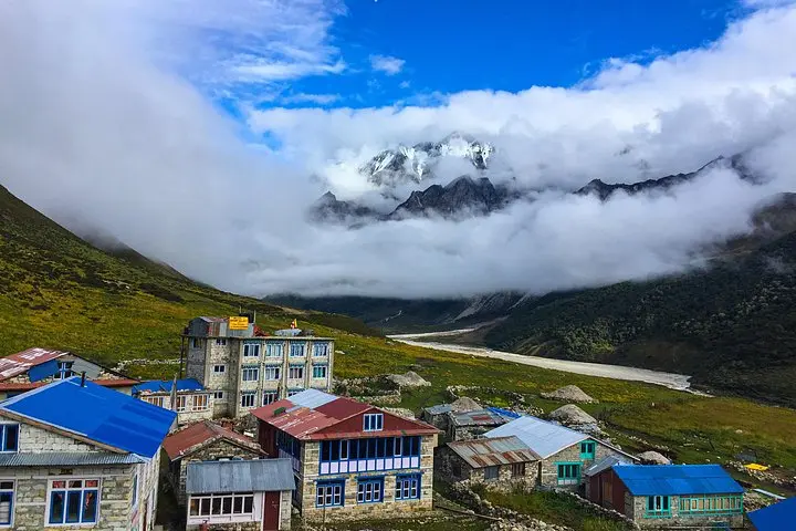
You step off the jeep in Syabrubesi and the valley takes over—rivers daring you to follow their course, rhododendron forests closing behind, and peaks like Langtang Lirung pushing the sky higher. Early trails wind along the Langtang Khola, through bamboo groves and prayer-flagged ridgelines, each bend revealing villages with stacked stone houses and steaming teahouses.
Verified experiences and guided adventures in the surrounding area.
Operated by Hit The Himalaya · Kathmandu, Bagmati Province
You step off the jeep in Syabrubesi and the valley takes over—rivers daring you to follow their course, rhododendron forests closing behind, and peaks like Langtang Lirung pushing the sky higher. Early trails wind along the Langtang Khola, through bamboo groves and prayer-flagged ridgelines, each bend revealing villages with stacked stone houses and steaming teahouses.
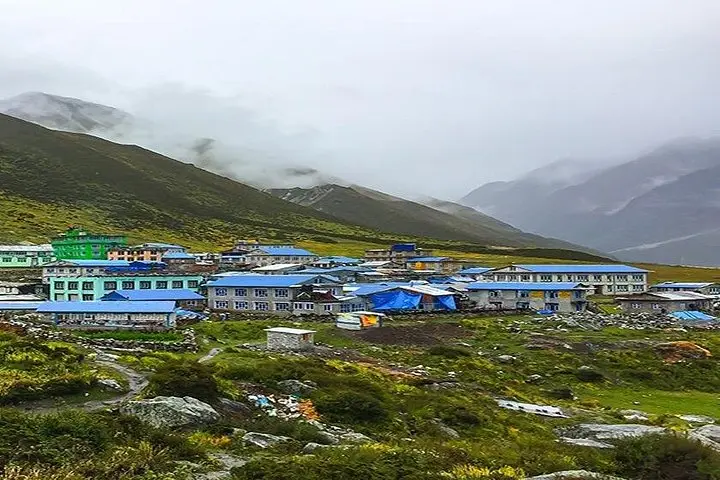
The Langtang Valley sits inside Langtang National Park, established in 1976 to protect high-altitude ecosystems and the cultural landscape of Tamang communities heavily influenced by Tibetan Buddhism. Geologically the valley is carved by glaciers and moraine fields, with visible cirques and a living glacier at the head of the basin. Culture here is visible in mani walls, gompas, yak pastures and locally made yak cheese; Kyanjin Gompa is a small religious center with centuries-old prayer wheels and a modest monastery.
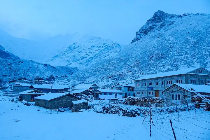
Expect 10 days of walking, with daily stages of 3–8 hours and a high point near Tserko Ri (about 5,000 m). Trails alternate forested, rooty singletrack and open moraine; snow and scree can appear above 3,500 m. Wildlife includes Himalayan Monal and, rarely, red panda or musk deer; keep noise low and food secured.
Practical notes: acclimatize gradually, carry layers for strong sun and sudden cold, and plan for simple teahouse accommodations. Hydrate regularly and use trekking poles for steep descents. The route is suitable for seasoned beginners with solid fitness; guided groups provide permits, porters and local knowledge that smooth logistics and support the local economy.
Yes. Langtang National Park requires permits and most trekkers hire local guides who handle permits, logistics and navigation.
Tserko Ri reaches around 5,000 m; many itineraries include Kyanjin Ri (~4,600 m) as a lower alternative.
Teahouse-style lodges provide basic rooms, shared bathrooms and hot meals; higher up options are simple but comfortable by mountain standards.
Fall (September–November) and spring (late March–May) generally offer the clearest skies and most stable conditions.
Hit The Himalaya operates guided outdoor trips and adventures with an emphasis on safety, stewardship, and memorable experiences.
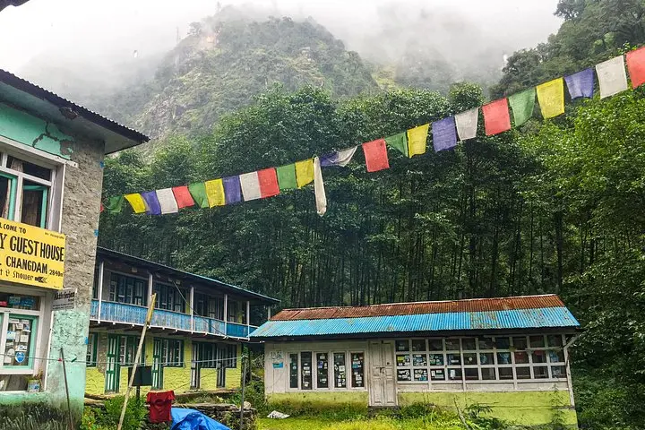
You step off the jeep in Syabrubesi and the valley takes over—rivers daring you to follow their course, rhododendron forests closing behind, and peaks like Langtang Lirung pushing the sky higher. Early trails wind along the Langtang Khola, through bamboo groves and prayer-flagged ridgelines, each bend revealing villages with stacked stone houses and steaming teahouses.
You step off the jeep in Syabrubesi and the valley takes over—rivers daring you to follow their course, rhododendron forests closing behind, and peaks like Langtang Lirung pushing the sky higher. Early trails wind along the Langtang Khola, through bamboo groves and prayer-flagged ridgelines, each bend revealing villages with stacked stone houses and steaming teahouses.
The Langtang Valley sits inside Langtang National Park, established in 1976 to protect high-altitude ecosystems and the cultural landscape of Tamang communities heavily influenced by Tibetan Buddhism. Geologically the valley is carved by glaciers and moraine fields, with visible cirques and a living glacier at the head of the basin. Culture here is visible in mani walls, gompas, yak pastures and locally made yak cheese; Kyanjin Gompa is a small religious center with centuries-old prayer wheels and a modest monastery.
Expect 10 days of walking, with daily stages of 3–8 hours and a high point near Tserko Ri (about 5,000 m). Trails alternate forested, rooty singletrack and open moraine; snow and scree can appear above 3,500 m. Wildlife includes Himalayan Monal and, rarely, red panda or musk deer; keep noise low and food secured.
Practical notes: acclimatize gradually, carry layers for strong sun and sudden cold, and plan for simple teahouse accommodations. Hydrate regularly and use trekking poles for steep descents. The route is suitable for seasoned beginners with solid fitness; guided groups provide permits, porters and local knowledge that smooth logistics and support the local economy.