THE ADVENTURE COLLECTIVE® · Independent discovery and booking for outdoor travel

Walk from the foothills north of Kathmandu into a glacier-sculpted valley where monasteries, yak pastures and panoramic peaks define each day. This 9–10 day trek to Kyanjin Gompa mixes forested trails, moraine views and village culture with high‑altitude panoramas.
Walk from the foothills north of Kathmandu into a glacier-sculpted valley where monasteries, yak pastures and panoramic peaks define each day. This 9–10 day trek to Kyanjin Gompa mixes forested trails, moraine views and village culture with high‑altitude panoramas.
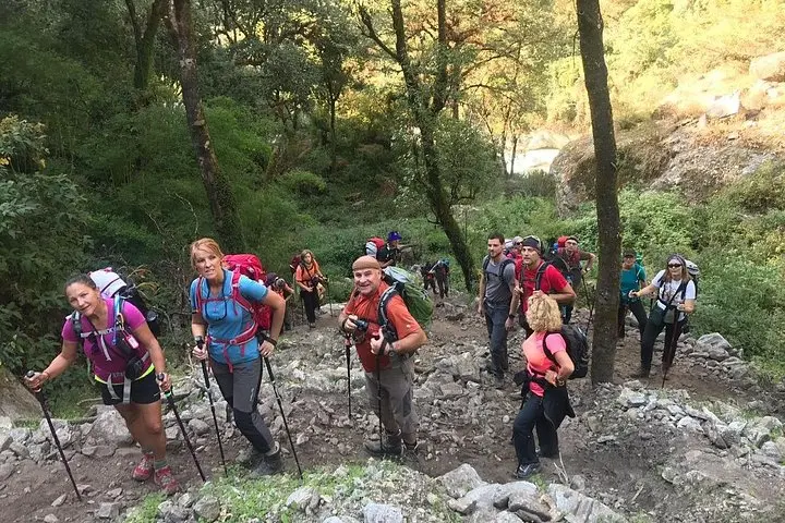
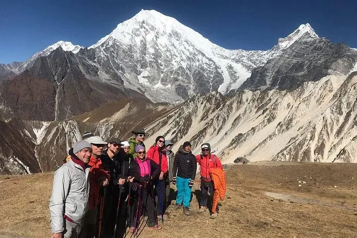
A cold wind from the north pushes down the valley as you cross a swaying suspension bridge—rhododendron trunks on one side, the ribbon of the Langtang River on the other. The trail climbs out of Syabrubesi and threads through bamboo and oak, each bend giving a clearer view of snow bands on Langtang Lirung.
Verified experiences and guided adventures in the surrounding area.
Operated by Glorious Himalaya Trekking Pvt. Ltd. · Syabrubesi, Bagmati Province
A cold wind from the north pushes down the valley as you cross a swaying suspension bridge—rhododendron trunks on one side, the ribbon of the Langtang River on the other. The trail climbs out of Syabrubesi and threads through bamboo and oak, each bend giving a clearer view of snow bands on Langtang Lirung.
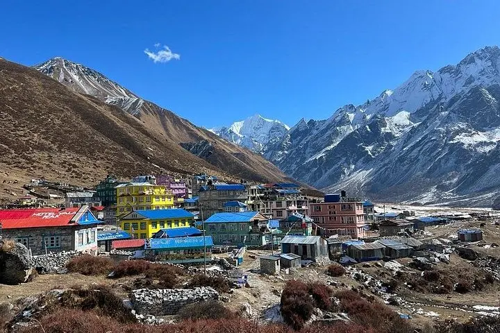
Langtang sits on the northern edge of the Kathmandu Valley and carries strong Tibetan cultural influences: prayer flags, stone chortens, and centuries-old gompas like Kyanjin. Geologically the valley is carved by glaciers; moraines, ice-cones and the creaking tongues of ancient ice are visible around the high pastures. The 2015 avalanche that struck Langtang Village is part of the recent human history here and has shaped reconstruction and community resilience programs.
Expect 8–10 days of walking with daily stretches of 4–7 hours, net elevation gain from roughly 1,400m in Kathmandu to 3,870m at Kyanjin (optional side trips to Tserko Ri reach ~5,000m). Terrain alternates river terraces, steep stone steps, and exposed alpine meadows—lodges and tea houses are standard on the route.
Practically: pace your ascent, carry layers for big diurnal swings, and keep cash for remote lodges. Permits and park fees are required (usually arranged by operators); guides add safety and local navigation. Hydration, sun protection, and respect for fragile high‑altitude ecosystems make the difference between an exhausting slog and a rewarding trek across glaciers, yak pastures, and Buddhist monasteries.
Yes—TIMS and Langtang National Park entry permits are required; reputable operators typically arrange these before departure.
Kyanjin (≈3,870m) and side trips like Tserko Ri (~5,000m) carry real AMS risk; acclimatize, monitor symptoms, and descend if signs appear.
Tea houses and local lodges with basic rooms, shared bathrooms and simple meals—hot water and electricity can be intermittent.
A guide is strongly recommended for navigation, local liaison, acclimatization decisions and to support the community economy.
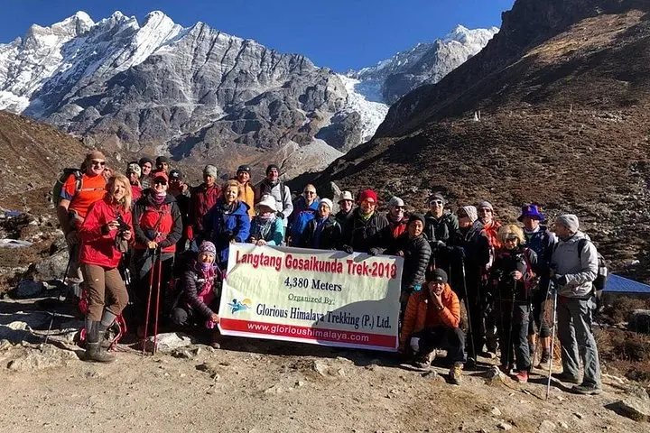
Glorious Himalaya Trekking Pvt. Ltd. operates guided outdoor trips and adventures with an emphasis on safety, stewardship, and memorable experiences.
A cold wind from the north pushes down the valley as you cross a swaying suspension bridge—rhododendron trunks on one side, the ribbon of the Langtang River on the other. The trail climbs out of Syabrubesi and threads through bamboo and oak, each bend giving a clearer view of snow bands on Langtang Lirung.
A cold wind from the north pushes down the valley as you cross a swaying suspension bridge—rhododendron trunks on one side, the ribbon of the Langtang River on the other. The trail climbs out of Syabrubesi and threads through bamboo and oak, each bend giving a clearer view of snow bands on Langtang Lirung.
Langtang sits on the northern edge of the Kathmandu Valley and carries strong Tibetan cultural influences: prayer flags, stone chortens, and centuries-old gompas like Kyanjin. Geologically the valley is carved by glaciers; moraines, ice-cones and the creaking tongues of ancient ice are visible around the high pastures. The 2015 avalanche that struck Langtang Village is part of the recent human history here and has shaped reconstruction and community resilience programs.
Expect 8–10 days of walking with daily stretches of 4–7 hours, net elevation gain from roughly 1,400m in Kathmandu to 3,870m at Kyanjin (optional side trips to Tserko Ri reach ~5,000m). Terrain alternates river terraces, steep stone steps, and exposed alpine meadows—lodges and tea houses are standard on the route.
Practically: pace your ascent, carry layers for big diurnal swings, and keep cash for remote lodges. Permits and park fees are required (usually arranged by operators); guides add safety and local navigation. Hydration, sun protection, and respect for fragile high‑altitude ecosystems make the difference between an exhausting slog and a rewarding trek across glaciers, yak pastures, and Buddhist monasteries.