THE ADVENTURE COLLECTIVE® · Independent discovery and booking for outdoor travel

Ascend Llaima from the Las Araucarias trailhead to 3,125 m for sweeping Andean views and rugged volcanic terrain. This guided full-day climb from Pucón combines cultural history, active-volcano geology, and demanding alpine hiking.
Ascend Llaima from the Las Araucarias trailhead to 3,125 m for sweeping Andean views and rugged volcanic terrain. This guided full-day climb from Pucón combines cultural history, active-volcano geology, and demanding alpine hiking.
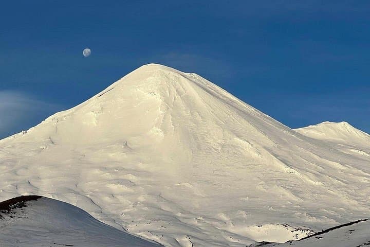
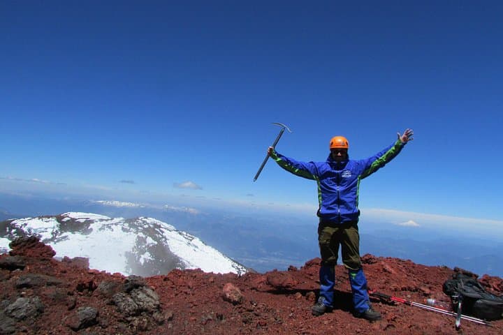
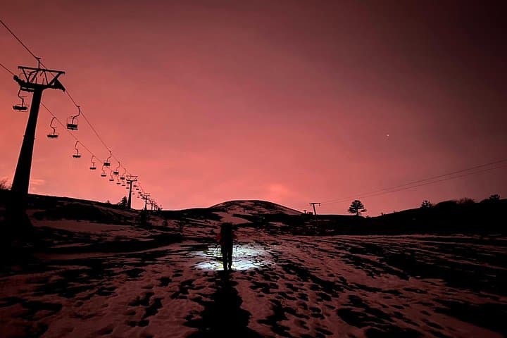
A low, wind-bruised ridge opens into black sand and scattered lava; the trail from Las Araucarias ski area pushes up through stands of ancient araucaria trees and out onto the open flanks of Llaima. Hikers begin around 1,600 meters and follow switchbacks and volcanic scree as the volcano’s flank sharpens against the sky. The summit sits at 3,125 m, where panoramic views sweep across Conguillío National Park and the Andean spine beyond.
Verified experiences and guided adventures in the surrounding area.
Operated by Rutas Outdoors · Pucón, Araucanía
A low, wind-bruised ridge opens into black sand and scattered lava; the trail from Las Araucarias ski area pushes up through stands of ancient araucaria trees and out onto the open flanks of Llaima. Hikers begin around 1,600 meters and follow switchbacks and volcanic scree as the volcano’s flank sharpens against the sky. The summit sits at 3,125 m, where panoramic views sweep across Conguillío National Park and the Andean spine beyond.
Llaima is a stratovolcano with one of the most active eruptive records in South America. Its Mapudungun name, often translated as “veins of blood,” reflects local memory of past eruptions and the volcano’s cultural presence for the Mapuche people. The geology alternates between compact lava flows and loose tephra; expect packed ash, scree fields, and occasional rocky ledges. Wildlife is subtle: birds wheel on thermals while foxes and pudú move in forest margins.
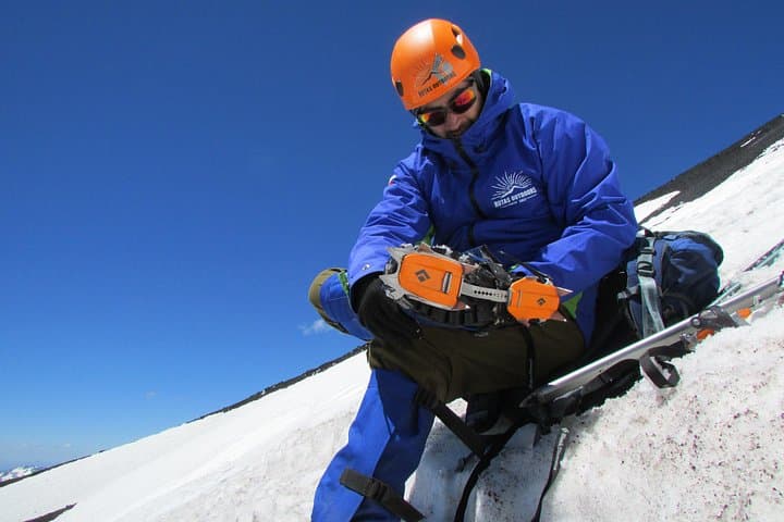
Practical guide: the ascent is typically run as a full-day outing from Pucón with private transport and a certified guide; total on-trail time is roughly 6 hours with about 1,500 m of elevation gain from the trailhead. Weather can shift quickly—wind, sun, and sudden snow are all possible depending on season—so layer strategically and start early to avoid afternoon storms. Bring at least 2–3 liters of water, high-traction boots, and trekking poles for the descent. Park entrance fees apply; follow leave-no-trace principles and respect local cultural sites. With steady pacing and basic mountain experience, this climb delivers raw volcanic landscape and broad Andean panoramas.
The route is rated moderate—expect sustained uphill hiking with roughly 1,500 m of elevation gain from the Las Araucarias trailhead; basic mountain experience is recommended.
Guided tours are common and include park entrance; local operators provide certified guides, transport, and equipment—permits are handled by the operator as part of park access.
Summer (December–February) offers the most stable conditions; spring and fall are possible with preparation. Winter climbs require mountaineering skills and specialized gear.
Expect stands of araucaria (monkey-puzzle) trees, Andean birds such as condors or hawks, and possible sightings of pudú or South American foxes near forested areas.
Rutas Outdoors operates guided outdoor trips and adventures with an emphasis on safety, stewardship, and memorable experiences.
A low, wind-bruised ridge opens into black sand and scattered lava; the trail from Las Araucarias ski area pushes up through stands of ancient araucaria trees and out onto the open flanks of Llaima. Hikers begin around 1,600 meters and follow switchbacks and volcanic scree as the volcano’s flank sharpens against the sky. The summit sits at 3,125 m, where panoramic views sweep across Conguillío National Park and the Andean spine beyond.
A low, wind-bruised ridge opens into black sand and scattered lava; the trail from Las Araucarias ski area pushes up through stands of ancient araucaria trees and out onto the open flanks of Llaima. Hikers begin around 1,600 meters and follow switchbacks and volcanic scree as the volcano’s flank sharpens against the sky. The summit sits at 3,125 m, where panoramic views sweep across Conguillío National Park and the Andean spine beyond.
Llaima is a stratovolcano with one of the most active eruptive records in South America. Its Mapudungun name, often translated as “veins of blood,” reflects local memory of past eruptions and the volcano’s cultural presence for the Mapuche people. The geology alternates between compact lava flows and loose tephra; expect packed ash, scree fields, and occasional rocky ledges. Wildlife is subtle: birds wheel on thermals while foxes and pudú move in forest margins.
Practical guide: the ascent is typically run as a full-day outing from Pucón with private transport and a certified guide; total on-trail time is roughly 6 hours with about 1,500 m of elevation gain from the trailhead. Weather can shift quickly—wind, sun, and sudden snow are all possible depending on season—so layer strategically and start early to avoid afternoon storms. Bring at least 2–3 liters of water, high-traction boots, and trekking poles for the descent. Park entrance fees apply; follow leave-no-trace principles and respect local cultural sites. With steady pacing and basic mountain experience, this climb delivers raw volcanic landscape and broad Andean panoramas.