THE ADVENTURE COLLECTIVE® · Independent discovery and booking for outdoor travel

Cross high, quiet passages and reach the jewel-like Phoksundo Lake on this remote 15-day trek across Lower Dolpo. Expect long days, mandatory permits, and authentic Tibetan-influenced villages along the way.
Cross high, quiet passages and reach the jewel-like Phoksundo Lake on this remote 15-day trek across Lower Dolpo. Expect long days, mandatory permits, and authentic Tibetan-influenced villages along the way.
You step out of the mountain plane into thin air and a landscape that moves between grass-slick meadows and windswept rock. The trail from Jhuphal climbs through forested gullies, then opens onto pale highland pastures where yak bells ping and a distant stream dares you onward. Phoksundo Lake appears late in the trek—an almost impossibly blue bowl cut into steep cliffs—its surface reflecting the Tibetan-style villages above.
Verified experiences and guided adventures in the surrounding area.
Operated by Navigate Outdoor Pvt. Ltd. · Dunai, Karnali Province
You step out of the mountain plane into thin air and a landscape that moves between grass-slick meadows and windswept rock. The trail from Jhuphal climbs through forested gullies, then opens onto pale highland pastures where yak bells ping and a distant stream dares you onward. Phoksundo Lake appears late in the trek—an almost impossibly blue bowl cut into steep cliffs—its surface reflecting the Tibetan-style villages above.
This route threads older trade routes that linked Dolpo to Tibetan plateaus; Bonpo and Buddhist practice shape everyday life in villages like Dho Tarap and Ringmo. Geologically, the trek crosses the rain shadow of the Himalaya: lower Dolpo is high, arid, and strewn with glacial moraine and folded sedimentary rock—hence the stark cliffs around Phoksundo. Cultural touches are unmistakable: prayer flags, mani walls, and walled village compounds that preserve centuries-old livestock and craft traditions.
Practically, expect hard days and two real high passes: Numa La (~5,318 m) and Baga La (~5,190 m). Typical daily mileage ranges 10–20 km with 4–7 hours on steep terrain; camps and simple guesthouses alternate. Acclimatize deliberately, carry a reliable water filter, and layer for big temperature swings: freezing nights, strong sun by day. Permits (trekking permit, Dolpa entry, TIMS) and a registered guide are mandatory; flights into Jhuphal are weather-dependent, so buffer your schedule. Move steadily, respect local customs, pack for self-sufficiency, and the reward—high passes, near-empty trails, and the emerald-blue Phoksundo—feels earned.
Yes—Dolpa (Shey Phoksundo) permits and a TIMS card are required; your operator typically arranges these in Kathmandu and Nepalgunj.
Summer (June–September) offers green meadows but more rain; late spring and early autumn balance stable weather and clearer skies, though passes still have snow some years.
Numa La and Baga La are steep, high-altitude passes around 5,100–5,300 m; they require stamina, gradual ascent, and good weather for safe crossing.
Expect a mix of basic guesthouses in larger villages and camping with crew support on remote sections; bring a warm sleeping bag for nights at altitude.
Navigate Outdoor Pvt. Ltd. operates guided outdoor trips and adventures with an emphasis on safety, stewardship, and memorable experiences.
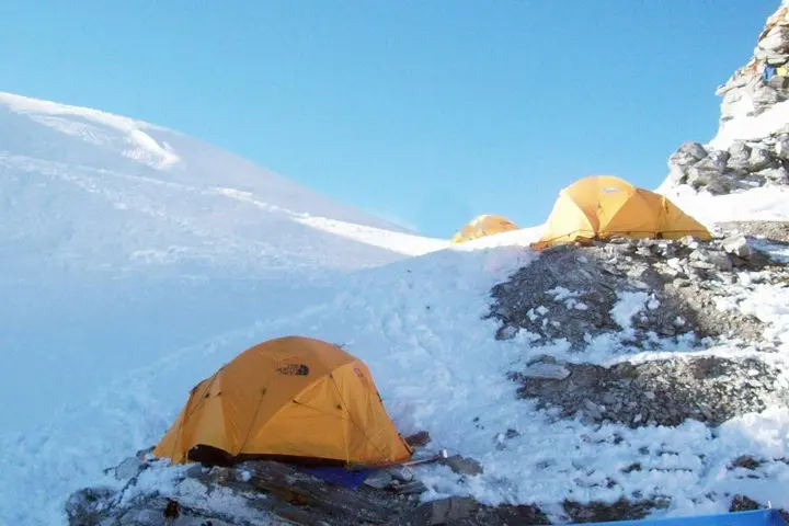
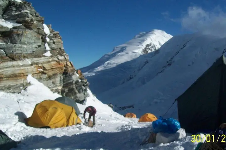
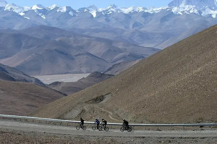
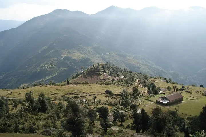
You step out of the mountain plane into thin air and a landscape that moves between grass-slick meadows and windswept rock. The trail from Jhuphal climbs through forested gullies, then opens onto pale highland pastures where yak bells ping and a distant stream dares you onward. Phoksundo Lake appears late in the trek—an almost impossibly blue bowl cut into steep cliffs—its surface reflecting the Tibetan-style villages above.
You step out of the mountain plane into thin air and a landscape that moves between grass-slick meadows and windswept rock. The trail from Jhuphal climbs through forested gullies, then opens onto pale highland pastures where yak bells ping and a distant stream dares you onward. Phoksundo Lake appears late in the trek—an almost impossibly blue bowl cut into steep cliffs—its surface reflecting the Tibetan-style villages above.
This route threads older trade routes that linked Dolpo to Tibetan plateaus; Bonpo and Buddhist practice shape everyday life in villages like Dho Tarap and Ringmo. Geologically, the trek crosses the rain shadow of the Himalaya: lower Dolpo is high, arid, and strewn with glacial moraine and folded sedimentary rock—hence the stark cliffs around Phoksundo. Cultural touches are unmistakable: prayer flags, mani walls, and walled village compounds that preserve centuries-old livestock and craft traditions.
Practically, expect hard days and two real high passes: Numa La (~5,318 m) and Baga La (~5,190 m). Typical daily mileage ranges 10–20 km with 4–7 hours on steep terrain; camps and simple guesthouses alternate. Acclimatize deliberately, carry a reliable water filter, and layer for big temperature swings: freezing nights, strong sun by day. Permits (trekking permit, Dolpa entry, TIMS) and a registered guide are mandatory; flights into Jhuphal are weather-dependent, so buffer your schedule. Move steadily, respect local customs, pack for self-sufficiency, and the reward—high passes, near-empty trails, and the emerald-blue Phoksundo—feels earned.