THE ADVENTURE COLLECTIVE® · Independent discovery and booking for outdoor travel

A 13-day, permit-regulated trek that circumnavigates Mt. Manaslu and crosses the Larkya La (5,160 m). Expect remote villages, high-altitude passes, and a mix of forested valleys and glacial landscapes.
A 13-day, permit-regulated trek that circumnavigates Mt. Manaslu and crosses the Larkya La (5,160 m). Expect remote villages, high-altitude passes, and a mix of forested valleys and glacial landscapes.
You step off the dusty jeep in Soti Khola and the valley exhales around you—rivers hiccuping over boulder gardens, terraced fields climbing into conifer shadow, and a line of stone mani walls guiding the way toward higher air.
Verified experiences and guided adventures in the surrounding area.
Operated by CAN Travels · Samagaon, Gandaki Province
You step off the dusty jeep in Soti Khola and the valley exhales around you—rivers hiccuping over boulder gardens, terraced fields climbing into conifer shadow, and a line of stone mani walls guiding the way toward higher air.
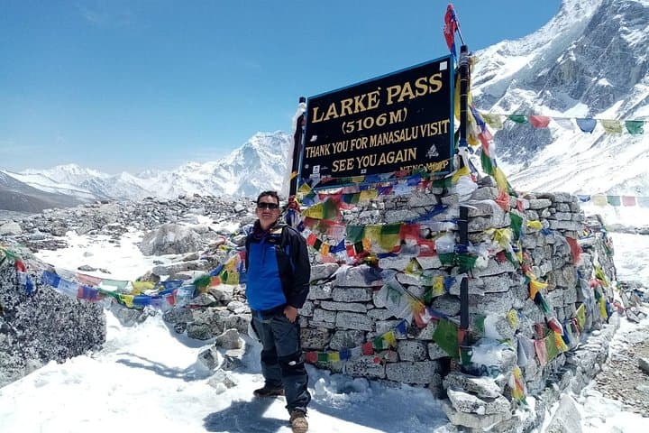
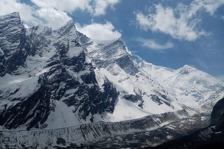
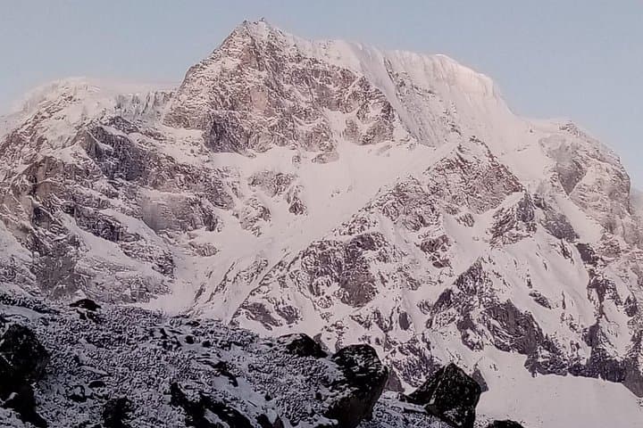
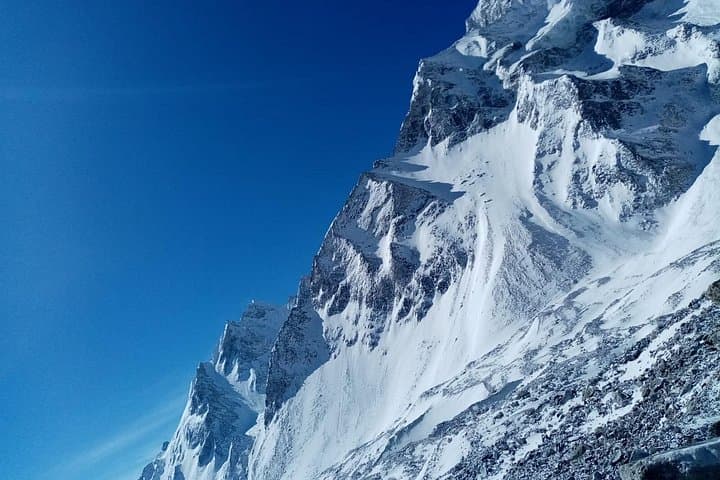
The 13-day Manaslu Circuit threads ancient trade routes and Tibetan-influenced villages, rising from 710 m in the foothills to the exposed crest of Larkya La (5,160 m). Geologically the trail is a lesson in uplift: river-carved gorges give way to glacial valleys and jagged moraine fields, and peaks like Manaslu (8,163 m) and Ganesh Himal loom as ice-carved monuments.
Culturally the route passes Gurung and Tibetan communities; monasteries and stupas punctuate the trail and invite slow, respectful observation. The Manaslu Conservation Area and restricted-permit system protect fragile alpine meadows and traditional grazing lands while supporting teahouse economies.
Expect long daily walks—typically 5–8 hours—on mixed terrain: riverbank paths, rooted forest tracks, stone steps, and high-altitude scree and snow near the pass. Acclimatization days at Samagaon and Samdo reduce altitude risk; the hardest day is the ascent to and descent from Larkya La, where weather and crampon-ready snow patches are common.
Practical guidance: pack warm layers for nights above 3,000 m, train with sustained hill days beforehand, and use trekking poles for steep descents. Hydrate early and often; carry a headlamp and spare batteries for dim teahouse dorms. Guides familiar with the Manaslu permits and rescue protocols are strongly recommended—this is an expedition-style trek that rewards planning as much as grit.
Yes—ACAP and Manaslu restricted-area permits are required; these are typically organized by your guide or agency.
Larkya La is the trek's most demanding section: long ascent, exposure to wind and snow, and significant altitude—good acclimatization and crampon use may be necessary.
Yes; accommodation is primarily teahouse guesthouses with basic rooms and shared facilities, though services thin out at the highest villages.
Fall (Sept–Nov) and spring (Mar–May) are ideal for stable weather and clear mountain views; avoid monsoon months if possible.
CAN Travels operates guided outdoor trips and adventures with an emphasis on safety, stewardship, and memorable experiences.
You step off the dusty jeep in Soti Khola and the valley exhales around you—rivers hiccuping over boulder gardens, terraced fields climbing into conifer shadow, and a line of stone mani walls guiding the way toward higher air.
You step off the dusty jeep in Soti Khola and the valley exhales around you—rivers hiccuping over boulder gardens, terraced fields climbing into conifer shadow, and a line of stone mani walls guiding the way toward higher air.
The 13-day Manaslu Circuit threads ancient trade routes and Tibetan-influenced villages, rising from 710 m in the foothills to the exposed crest of Larkya La (5,160 m). Geologically the trail is a lesson in uplift: river-carved gorges give way to glacial valleys and jagged moraine fields, and peaks like Manaslu (8,163 m) and Ganesh Himal loom as ice-carved monuments.
Culturally the route passes Gurung and Tibetan communities; monasteries and stupas punctuate the trail and invite slow, respectful observation. The Manaslu Conservation Area and restricted-permit system protect fragile alpine meadows and traditional grazing lands while supporting teahouse economies.
Expect long daily walks—typically 5–8 hours—on mixed terrain: riverbank paths, rooted forest tracks, stone steps, and high-altitude scree and snow near the pass. Acclimatization days at Samagaon and Samdo reduce altitude risk; the hardest day is the ascent to and descent from Larkya La, where weather and crampon-ready snow patches are common.
Practical guidance: pack warm layers for nights above 3,000 m, train with sustained hill days beforehand, and use trekking poles for steep descents. Hydrate early and often; carry a headlamp and spare batteries for dim teahouse dorms. Guides familiar with the Manaslu permits and rescue protocols are strongly recommended—this is an expedition-style trek that rewards planning as much as grit.