THE ADVENTURE COLLECTIVE® · Independent discovery and booking for outdoor travel

Summit Mount Batur before sunrise on a guided moonlit climb from Ubud, then watch daylight sweep across Lake Batur and Mount Agung. This active-volcano trek is short but steep—expect volcanic gravel, a pre-dawn start, and panoramic crater views.
Summit Mount Batur before sunrise on a guided moonlit climb from Ubud, then watch daylight sweep across Lake Batur and Mount Agung. This active-volcano trek is short but steep—expect volcanic gravel, a pre-dawn start, and panoramic crater views.
Before dawn the van eases away from Ubud’s rice fields and the world narrows to headlamps and the hush of the caldera. You hike under a sky still thick with stars, the trail crunching with volcanic gravel, each switchback pulling you higher until the summit opens and the horizon spills light across Lake Batur.
Verified experiences and guided adventures in the surrounding area.
Operated by East Bali Tour · Kintamani, Bali
Before dawn the van eases away from Ubud’s rice fields and the world narrows to headlamps and the hush of the caldera. You hike under a sky still thick with stars, the trail crunching with volcanic gravel, each switchback pulling you higher until the summit opens and the horizon spills light across Lake Batur.
Mount Batur (summit ~1,717 m) is one of Bali’s most accessible active volcanoes. The crater and surrounding caldera were shaped by repeated eruptions; recent activity in 2000 rearranged shorelines and local lives. The Kintamani area holds cultural significance—temples and farming communities ring the caldera—and the landscape is as much agricultural history as it is geology.
Expect roughly 600–800 m of elevation gain and about 4–6 km round-trip on loose ash, volcanic rock and carved steps. The ascent typically takes 1.5–2.5 hours depending on pace; descents are quicker but slippery in wet conditions. Early starts are standard: guides move before 03:00 to reach the rim for sunrise, and many groups continue to crater-edge viewpoints facing Mount Agung.
Practical advice: wear grippy hiking shoes, bring a warm layer for the summit (temperatures can feel sharp at altitude), and carry 1–2 liters of water plus a small snack. Flashlight or headlamp is essential for the nighttime approach. If you plan a post-hike soak, note the hot springs are often an add-on with separate fees. Travel with a licensed guide to stay on sustainable paths—this protects fragile caldera soils and supports local communities.
The climb is compact but rewarding: the crater dares you forward, the light slowly claims the valley, and the view makes the early alarm worth it.
Typical round-trip is about 4–6 km with roughly 600–800 m of elevation gain; ascent usually takes 1.5–2.5 hours depending on pace.
No—hot springs are usually a separate add-on with an additional entrance fee (commonly listed around 180,000 IDR); your driver can take you after the trek if arranged.
Yes—many operators describe it as suitable for most fitness levels, but it involves sustained uphill walking on loose ground; those with serious mobility or cardiovascular issues should avoid it.
Expect pickup between 01:30 and 03:00 depending on hotel location to reach the mountain in time for the guided pre-dawn start.
East Bali Tour operates guided outdoor trips and adventures with an emphasis on safety, stewardship, and memorable experiences.

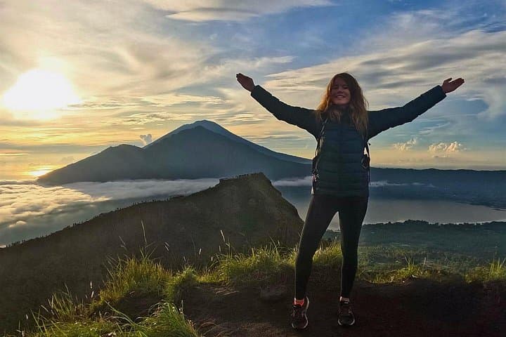
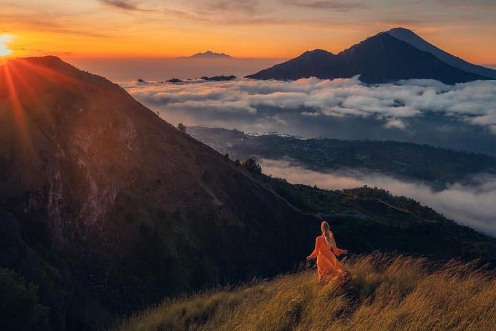
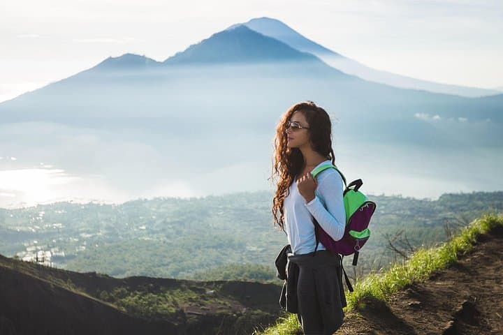
Before dawn the van eases away from Ubud’s rice fields and the world narrows to headlamps and the hush of the caldera. You hike under a sky still thick with stars, the trail crunching with volcanic gravel, each switchback pulling you higher until the summit opens and the horizon spills light across Lake Batur.
Before dawn the van eases away from Ubud’s rice fields and the world narrows to headlamps and the hush of the caldera. You hike under a sky still thick with stars, the trail crunching with volcanic gravel, each switchback pulling you higher until the summit opens and the horizon spills light across Lake Batur.
Mount Batur (summit ~1,717 m) is one of Bali’s most accessible active volcanoes. The crater and surrounding caldera were shaped by repeated eruptions; recent activity in 2000 rearranged shorelines and local lives. The Kintamani area holds cultural significance—temples and farming communities ring the caldera—and the landscape is as much agricultural history as it is geology.
Expect roughly 600–800 m of elevation gain and about 4–6 km round-trip on loose ash, volcanic rock and carved steps. The ascent typically takes 1.5–2.5 hours depending on pace; descents are quicker but slippery in wet conditions. Early starts are standard: guides move before 03:00 to reach the rim for sunrise, and many groups continue to crater-edge viewpoints facing Mount Agung.
Practical advice: wear grippy hiking shoes, bring a warm layer for the summit (temperatures can feel sharp at altitude), and carry 1–2 liters of water plus a small snack. Flashlight or headlamp is essential for the nighttime approach. If you plan a post-hike soak, note the hot springs are often an add-on with separate fees. Travel with a licensed guide to stay on sustainable paths—this protects fragile caldera soils and supports local communities.
The climb is compact but rewarding: the crater dares you forward, the light slowly claims the valley, and the view makes the early alarm worth it.