THE ADVENTURE COLLECTIVE® · Independent discovery and booking for outdoor travel

A compact 2‑day trek from East Munnar into Mathikettan Shola National Park that combines shola forest, grassland ridgelines, and a plantation visit. Expect a 5–6 hour trekking day over mixed terrain with permits required for park entry.
A compact 2‑day trek from East Munnar into Mathikettan Shola National Park that combines shola forest, grassland ridgelines, and a plantation visit. Expect a 5–6 hour trekking day over mixed terrain with permits required for park entry.
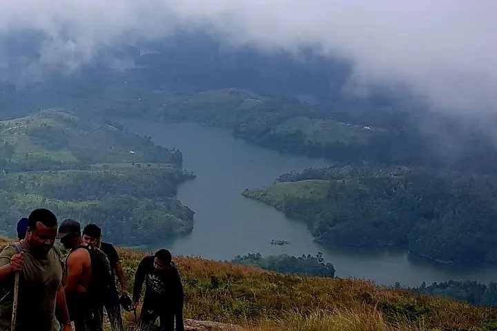
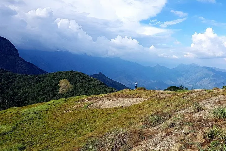
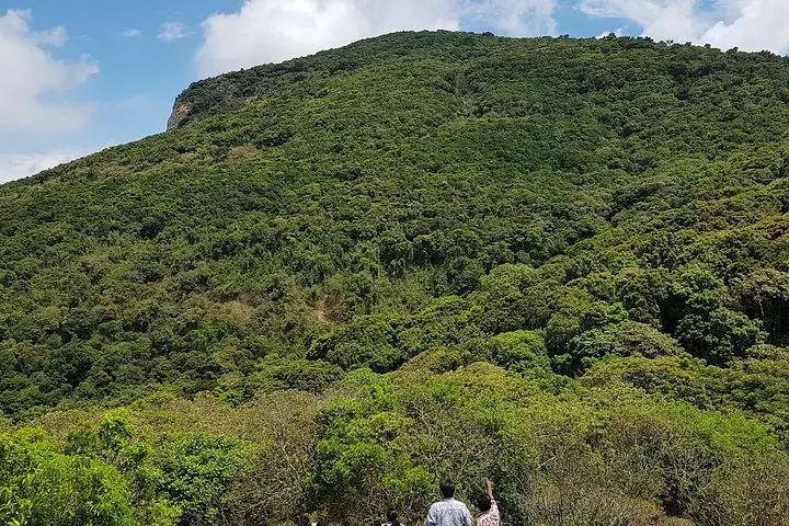
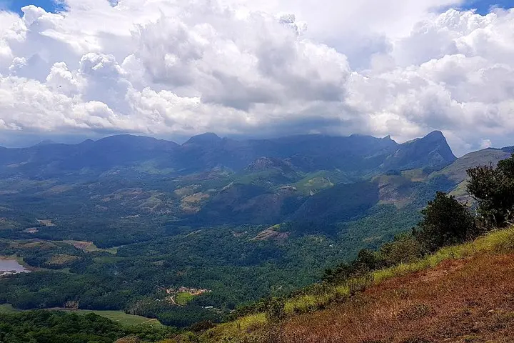
The trail opens under a sky that can turn from clear to clouded in minutes—shifting light spills across grasses and stunted shola forests as you climb into East Munnar. Start at village-edge roads, passing tea terraces before the path narrows into mossy roots and rock slabs that mark the entrance to Mathikettan Shola National Park.
Verified experiences and guided adventures in the surrounding area.
Operated by Speciality tours · Munnar, Kerala
The trail opens under a sky that can turn from clear to clouded in minutes—shifting light spills across grasses and stunted shola forests as you climb into East Munnar. Start at village-edge roads, passing tea terraces before the path narrows into mossy roots and rock slabs that mark the entrance to Mathikettan Shola National Park.
This two-day itinerary threads together the Western Ghats’ shola-grassland mosaic, a geological rampart of ancient Precambrian rock uplifted and carved by monsoon patterns. The area carries tea-planter history and living tribal culture; on day two you move through small plantations and may meet locals practicing traditional farming. Kallimali viewpoint rewards morning trekkers with low-lying cloud pockets and a sweep of ridgelines.
Expect a moderate single-day trek of roughly 8–10 km with 400–600 m of elevation gain over varied terrain: packed earth, leaf-littered steps, occasional rocky scrambles and wet sections after rains. Wildlife is discreet—birds and small mammals dominate sightings; keep noise low and cameras ready.
Practical guidance: start early to avoid afternoon mist and rain, carry full water and a rain shell, and wear grippy trekking shoes—wet roots are common. Permits and park rules apply in Mathikettan Shola; your operator typically handles entry. Fitness-wise, a steady pace with short breaks makes the 5–6 hour trek accessible to those with moderate conditioning. Bring layers for cool mornings and insect repellent for humid stretches.
The route balances raw highland scenery with cultural touches—tea estates, a tribal hamlet, and a viewpoint that makes the climb worthwhile. Plan for variable weather and respect park limits to keep this fragile landscape healthy for the next group of trekkers.
Yes—park entry is regulated; most operators obtain permits for groups as part of the tour.
The main trekking day is about 5–6 hours (roughly 8–10 km) with moderate elevation gain—suitable for those with a moderate fitness level.
Weather is variable: warm and humid at lower altitudes, with frequent afternoon cloud and rainfall during the monsoon; mornings can be cool and misty.
The itinerary includes breakfast, packed vegetarian lunch during the trek, and air‑conditioned vehicle transfers as listed by the operator.
Speciality tours operates guided outdoor trips and adventures with an emphasis on safety, stewardship, and memorable experiences.
The trail opens under a sky that can turn from clear to clouded in minutes—shifting light spills across grasses and stunted shola forests as you climb into East Munnar. Start at village-edge roads, passing tea terraces before the path narrows into mossy roots and rock slabs that mark the entrance to Mathikettan Shola National Park.
The trail opens under a sky that can turn from clear to clouded in minutes—shifting light spills across grasses and stunted shola forests as you climb into East Munnar. Start at village-edge roads, passing tea terraces before the path narrows into mossy roots and rock slabs that mark the entrance to Mathikettan Shola National Park.
This two-day itinerary threads together the Western Ghats’ shola-grassland mosaic, a geological rampart of ancient Precambrian rock uplifted and carved by monsoon patterns. The area carries tea-planter history and living tribal culture; on day two you move through small plantations and may meet locals practicing traditional farming. Kallimali viewpoint rewards morning trekkers with low-lying cloud pockets and a sweep of ridgelines.
Expect a moderate single-day trek of roughly 8–10 km with 400–600 m of elevation gain over varied terrain: packed earth, leaf-littered steps, occasional rocky scrambles and wet sections after rains. Wildlife is discreet—birds and small mammals dominate sightings; keep noise low and cameras ready.
Practical guidance: start early to avoid afternoon mist and rain, carry full water and a rain shell, and wear grippy trekking shoes—wet roots are common. Permits and park rules apply in Mathikettan Shola; your operator typically handles entry. Fitness-wise, a steady pace with short breaks makes the 5–6 hour trek accessible to those with moderate conditioning. Bring layers for cool mornings and insect repellent for humid stretches.
The route balances raw highland scenery with cultural touches—tea estates, a tribal hamlet, and a viewpoint that makes the climb worthwhile. Plan for variable weather and respect park limits to keep this fragile landscape healthy for the next group of trekkers.