THE ADVENTURE COLLECTIVE® · Independent discovery and booking for outdoor travel

Walk from Mürren to the Rotstock Hut and back down to Gimmelwald, framed by the Eiger, Mönch and Jungfrau. This moderate 5‑hour hike mixes waterfalls, alpine pastures and a cozy hut stop for cake and views.
Walk from Mürren to the Rotstock Hut and back down to Gimmelwald, framed by the Eiger, Mönch and Jungfrau. This moderate 5‑hour hike mixes waterfalls, alpine pastures and a cozy hut stop for cake and views.
A thin alpine wind pulls at your jacket as the first houses of Mürren slide behind you and the Lauterbrunnen Valley opens into a bowl of falling water and stacked peaks. The Eiger, Mönch and Jungfrau loom like watchful guardians; below them, waterfalls dare you to follow their sound down the cliffs.
Verified experiences and guided adventures in the surrounding area.
Operated by 2 feet hiking tours · Mürren, Canton of Bern
A thin alpine wind pulls at your jacket as the first houses of Mürren slide behind you and the Lauterbrunnen Valley opens into a bowl of falling water and stacked peaks. The Eiger, Mönch and Jungfrau loom like watchful guardians; below them, waterfalls dare you to follow their sound down the cliffs.
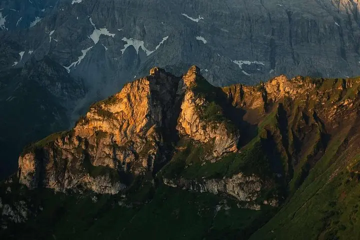
This route threads local history and high-country geology—past century-old wooden chalets, summer cow pastures and moraine-shaped ridges carved by ancient ice. Sprutz waterfall, a short detour, sits tucked under a lip of rock, its spray an unexpected cool room on a sunny day. Cultural life here is still tied to alpine farming: cows, cheese, and the cableways that turned remote hamlets into reachable viewpoints.
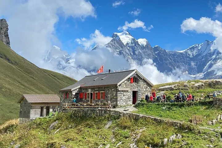
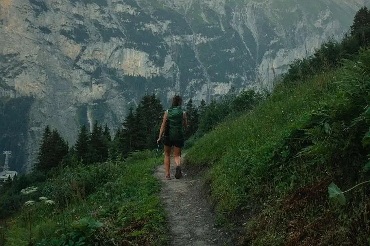
Expect roughly 8 km of walking with about 400–500 m of cumulative ascent on mixed terrain: narrow singletrack, stone steps, pasture paths and brief paved stretches through villages. Trails are well-marked with Swiss hiking signs; loose scree appears on steeper approaches. The Rotstockhütte makes a practical rest stop—cakes and hot drinks are part of the ritual—before a gentle descent into Gimmelwald, where a traditional fondue sets the finale.
Practical notes: plan for five hours including breaks, bring layered weather protection and sturdy boots, and time your return to coincide with the gondola schedule from Gimmelwald. Water is available at the hut but carry 1–1.5 L. The trail suits hikers with moderate fitness and steady footing; snowfields in shoulder seasons can change the game—check local conditions and the guide’s advice before you go.
Plan on about 5 hours total with 8 km distance and roughly 400–500 m ascent; it's a moderate hike requiring steady footing and basic stamina.
The route begins in Mürren, visits Rotstockhütte, and finishes in the village of Gimmelwald with gondola and bus connections back to Lauterbrunnen or Interlaken.
The tour includes snacks, coffee/tea and a hut stop for cake; a traditional fondue in Gimmelwald is typically part of the itinerary but confirm dietary options when booking.
Children with hiking experience can manage parts, but the tour is not recommended for travelers with significant back, heart or pregnancy-related restrictions—check the booking’s health guidance.
2 feet hiking tours operates guided outdoor trips and adventures with an emphasis on safety, stewardship, and memorable experiences.
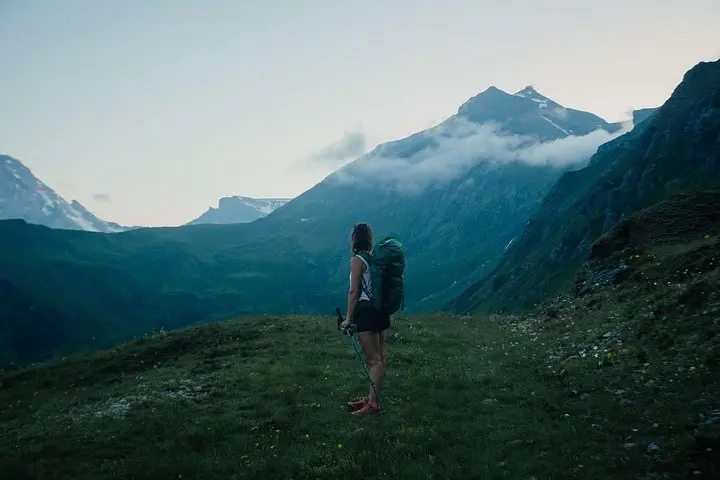
A thin alpine wind pulls at your jacket as the first houses of Mürren slide behind you and the Lauterbrunnen Valley opens into a bowl of falling water and stacked peaks. The Eiger, Mönch and Jungfrau loom like watchful guardians; below them, waterfalls dare you to follow their sound down the cliffs.
A thin alpine wind pulls at your jacket as the first houses of Mürren slide behind you and the Lauterbrunnen Valley opens into a bowl of falling water and stacked peaks. The Eiger, Mönch and Jungfrau loom like watchful guardians; below them, waterfalls dare you to follow their sound down the cliffs.
This route threads local history and high-country geology—past century-old wooden chalets, summer cow pastures and moraine-shaped ridges carved by ancient ice. Sprutz waterfall, a short detour, sits tucked under a lip of rock, its spray an unexpected cool room on a sunny day. Cultural life here is still tied to alpine farming: cows, cheese, and the cableways that turned remote hamlets into reachable viewpoints.
Expect roughly 8 km of walking with about 400–500 m of cumulative ascent on mixed terrain: narrow singletrack, stone steps, pasture paths and brief paved stretches through villages. Trails are well-marked with Swiss hiking signs; loose scree appears on steeper approaches. The Rotstockhütte makes a practical rest stop—cakes and hot drinks are part of the ritual—before a gentle descent into Gimmelwald, where a traditional fondue sets the finale.
Practical notes: plan for five hours including breaks, bring layered weather protection and sturdy boots, and time your return to coincide with the gondola schedule from Gimmelwald. Water is available at the hut but carry 1–1.5 L. The trail suits hikers with moderate fitness and steady footing; snowfields in shoulder seasons can change the game—check local conditions and the guide’s advice before you go.