THE ADVENTURE COLLECTIVE® · Independent discovery and booking for outdoor travel

A one-day, high-effort route that links Mount Talamitam, Mount Lantik and Mount Apayang on the Nasugbu ridge. Expect mixed terrain, panoramic coastal views, and a full day of sustained climbing suitable for fit hikers.
A one-day, high-effort route that links Mount Talamitam, Mount Lantik and Mount Apayang on the Nasugbu ridge. Expect mixed terrain, panoramic coastal views, and a full day of sustained climbing suitable for fit hikers.
You break the Manila skyline for a flat stretch of highway, then the landscape tightens: coconut palms give way to low ridgelines and the air cools as you climb toward the first summit. At dawn the trail up Mount Talamitam slices through grass slopes; breezes push you forward and the ridge opens to Paranaque Bay and the distant shape of Taal.
Verified experiences and guided adventures in the surrounding area.
Operated by Hike Manila · Nasugbu, Batangas
You break the Manila skyline for a flat stretch of highway, then the landscape tightens: coconut palms give way to low ridgelines and the air cools as you climb toward the first summit. At dawn the trail up Mount Talamitam slices through grass slopes; breezes push you forward and the ridge opens to Paranaque Bay and the distant shape of Taal.
These three peaks — Talamitam, Lantik and Apayang — sit on the western rim of Batangas’ uplands. Geologically they’re modest volcanic cones and eroded ridges of the Luzon volcanic arc, with soils that support both secondary forest and grassy balds. Locally the uplands have long been seasonal pasture and smallholder farmland; walking these routes threads you through paths used by residents and guided treks that formalized in the last two decades.
Expect shifting terrain: open ridgelines with exposed grass, narrow forested gullies where roots and rocks demand attention, and steeper, sometimes loose, ascents on Apayang. Birdsong and the occasional macaque punctuate the climb; rivers and springs below audibly remind you of the watershed these peaks feed.
Practical guidance: start early to avoid midday sun and afternoon showers, carry 2–3 liters of water, and wear grippy boots for rocky sections. Because the loop covers three summits in one day, manage your pacing — short, steady stages with frequent snack breaks work best. Local guides handle navigation and timing; if you’re booking from Manila, plan for 2–3 hours each way by vehicle. Respect trails, pack out waste, and leave room in your schedule for slow descents — the views reward patience.
It’s a full-day, high-effort hike covering three summits with steep sections and variable terrain; hikers should be in good shape and accustomed to 6–10 hour days.
Local guides are commonly used and recommended for navigation and safety; formal permits aren’t typically required for day trips but follow organizer guidance and local regulations.
Most day trips include van transfers; private vehicles take roughly 2–3 hours depending on traffic — plan departure early to maximize hiking time.
Water sources are sporadic and often seasonal; bring enough water for the full day or treat any natural water before drinking.
Hike Manila operates guided outdoor trips and adventures with an emphasis on safety, stewardship, and memorable experiences.
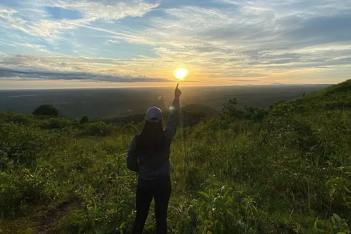
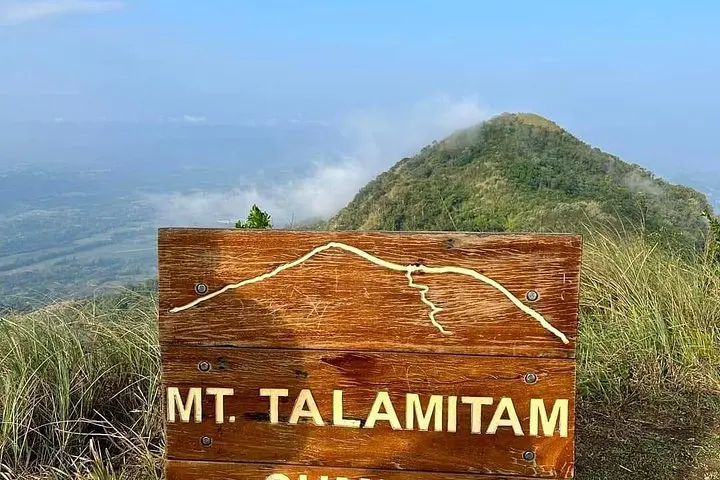
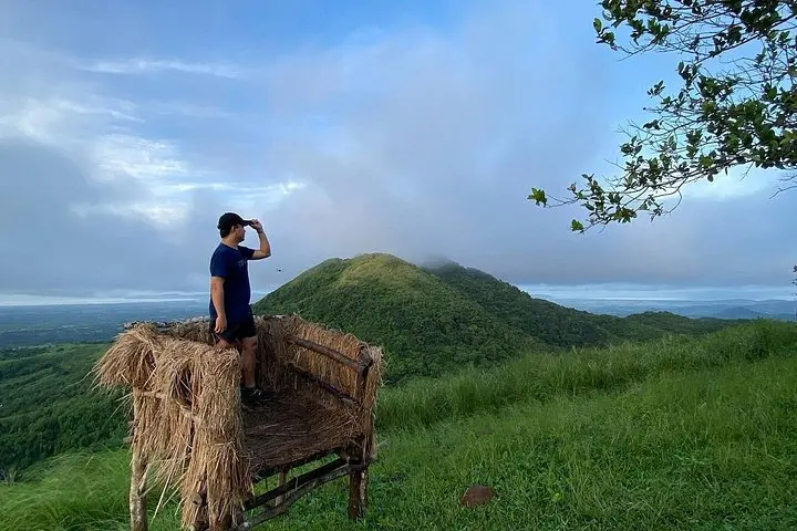
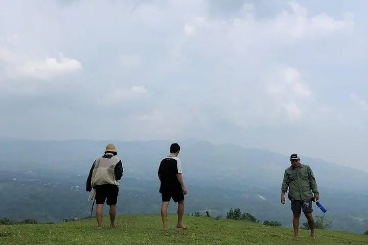
You break the Manila skyline for a flat stretch of highway, then the landscape tightens: coconut palms give way to low ridgelines and the air cools as you climb toward the first summit. At dawn the trail up Mount Talamitam slices through grass slopes; breezes push you forward and the ridge opens to Paranaque Bay and the distant shape of Taal.
You break the Manila skyline for a flat stretch of highway, then the landscape tightens: coconut palms give way to low ridgelines and the air cools as you climb toward the first summit. At dawn the trail up Mount Talamitam slices through grass slopes; breezes push you forward and the ridge opens to Paranaque Bay and the distant shape of Taal.
These three peaks — Talamitam, Lantik and Apayang — sit on the western rim of Batangas’ uplands. Geologically they’re modest volcanic cones and eroded ridges of the Luzon volcanic arc, with soils that support both secondary forest and grassy balds. Locally the uplands have long been seasonal pasture and smallholder farmland; walking these routes threads you through paths used by residents and guided treks that formalized in the last two decades.
Expect shifting terrain: open ridgelines with exposed grass, narrow forested gullies where roots and rocks demand attention, and steeper, sometimes loose, ascents on Apayang. Birdsong and the occasional macaque punctuate the climb; rivers and springs below audibly remind you of the watershed these peaks feed.
Practical guidance: start early to avoid midday sun and afternoon showers, carry 2–3 liters of water, and wear grippy boots for rocky sections. Because the loop covers three summits in one day, manage your pacing — short, steady stages with frequent snack breaks work best. Local guides handle navigation and timing; if you’re booking from Manila, plan for 2–3 hours each way by vehicle. Respect trails, pack out waste, and leave room in your schedule for slow descents — the views reward patience.