THE ADVENTURE COLLECTIVE® · Independent discovery and booking for outdoor travel

Fly from Pisco for a one-of-a-kind aerial view of the Nazca Lines. This full-day, guided outing includes private transfers from Lima, bilingual commentary, and a 1h40m flight over the desert geoglyphs.
Fly from Pisco for a one-of-a-kind aerial view of the Nazca Lines. This full-day, guided outing includes private transfers from Lima, bilingual commentary, and a 1h40m flight over the desert geoglyphs.
The day begins on the coastal road south of Lima, a private van cutting through low scrub and salt flats toward Pisco; salt-bleached wind teases at the windows while the guide outlines what the desert keeps under its skin.
Verified experiences and guided adventures in the surrounding area.
Operated by GET2PERU.COM EIRL · Pisco, Ica
The day begins on the coastal road south of Lima, a private van cutting through low scrub and salt flats toward Pisco; salt-bleached wind teases at the windows while the guide outlines what the desert keeps under its skin.
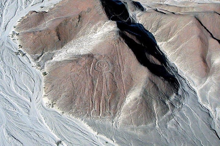
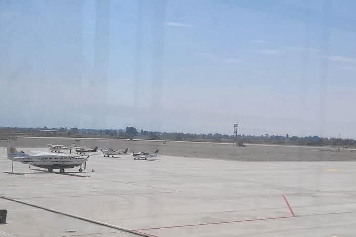
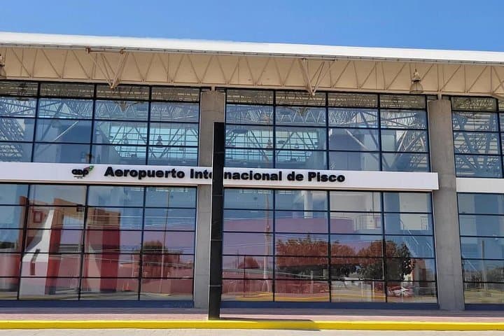
From Pisco Airport a light aircraft lifts, twelve passengers arranged at individual windows, and the desert below spreads into panels of ochre and stone. Aircraft circles over the Nazca plateau reveal straight lines and massive figures—birds, a hummingbird, a spider—etched by ancient hands. The flight lasts about one hour and forty minutes of airborne viewing; combined with the three-hour transfer each way, expect a full 10–12 hour day.
The Nazca Lines were created by the Nazca culture (c. 100 BCE–800 CE). Their precision owes to the desert’s stable climate and a superficial dark stone crust that, once cleared, exposes paler soil—geology that preserved huge motifs for millennia. Nearby Palpa designs and the Chauchilla cemetery offer complementary context: human stories and funerary practices that sit close to the earthwork language.
Practically: weigh-in and boarding procedures are standard; illustrated maps and headsets provide commentary in English and Spanish. Weather or low visibility may cancel flights—operators are regulated to limit disturbance to the plateau. Bring your passport or ID, wear comfortable closed shoes for the airport, pack motion-sickness remedies, and keep camera batteries charged. Time your trip for morning light to reduce haze; a light jacket handles wind on the tarmac. This is an aerial encounter with archaeology—immediate, brief, and unforgettable when logistics and light align.
The aerial circuit over the Nazca plateau is about 1 hour and 40 minutes total from Pisco, including approaches; actual time over specific figures depends on routing and weather.
Yes—operators accommodate infants and small children, with infant seats available; confirm at booking and follow weight and safety procedures during check-in.
Flights may be canceled for low visibility or strong wind; policies vary by operator—this tour notes cancellations for bad weather and may offer no refund, so check terms before booking.
Most geoglyphs are best seen from the air; a few lookout platforms near Nazca provide limited ground views, but scale and detail are lost compared to aerial perspectives.
GET2PERU.COM EIRL operates guided outdoor trips and adventures with an emphasis on safety, stewardship, and memorable experiences.

The day begins on the coastal road south of Lima, a private van cutting through low scrub and salt flats toward Pisco; salt-bleached wind teases at the windows while the guide outlines what the desert keeps under its skin.
The day begins on the coastal road south of Lima, a private van cutting through low scrub and salt flats toward Pisco; salt-bleached wind teases at the windows while the guide outlines what the desert keeps under its skin.
From Pisco Airport a light aircraft lifts, twelve passengers arranged at individual windows, and the desert below spreads into panels of ochre and stone. Aircraft circles over the Nazca plateau reveal straight lines and massive figures—birds, a hummingbird, a spider—etched by ancient hands. The flight lasts about one hour and forty minutes of airborne viewing; combined with the three-hour transfer each way, expect a full 10–12 hour day.
The Nazca Lines were created by the Nazca culture (c. 100 BCE–800 CE). Their precision owes to the desert’s stable climate and a superficial dark stone crust that, once cleared, exposes paler soil—geology that preserved huge motifs for millennia. Nearby Palpa designs and the Chauchilla cemetery offer complementary context: human stories and funerary practices that sit close to the earthwork language.
Practically: weigh-in and boarding procedures are standard; illustrated maps and headsets provide commentary in English and Spanish. Weather or low visibility may cancel flights—operators are regulated to limit disturbance to the plateau. Bring your passport or ID, wear comfortable closed shoes for the airport, pack motion-sickness remedies, and keep camera batteries charged. Time your trip for morning light to reduce haze; a light jacket handles wind on the tarmac. This is an aerial encounter with archaeology—immediate, brief, and unforgettable when logistics and light align.