THE ADVENTURE COLLECTIVE® · Independent discovery and booking for outdoor travel

Plot your own journey along Scotland’s northern rim with a downloadable NC500-style plan: pinned routes, sample 3–14 day itineraries, and practical notes for driving, ferries and must-see stops. Ideal if you want structure without a fixed schedule.
Plot your own journey along Scotland’s northern rim with a downloadable NC500-style plan: pinned routes, sample 3–14 day itineraries, and practical notes for driving, ferries and must-see stops. Ideal if you want structure without a fixed schedule.
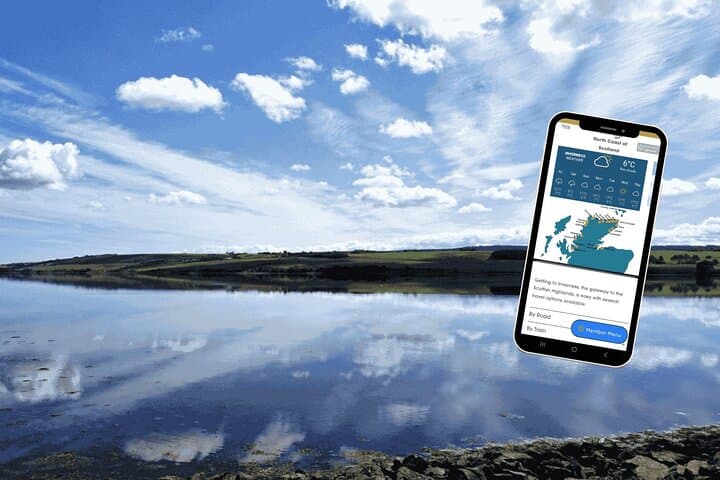
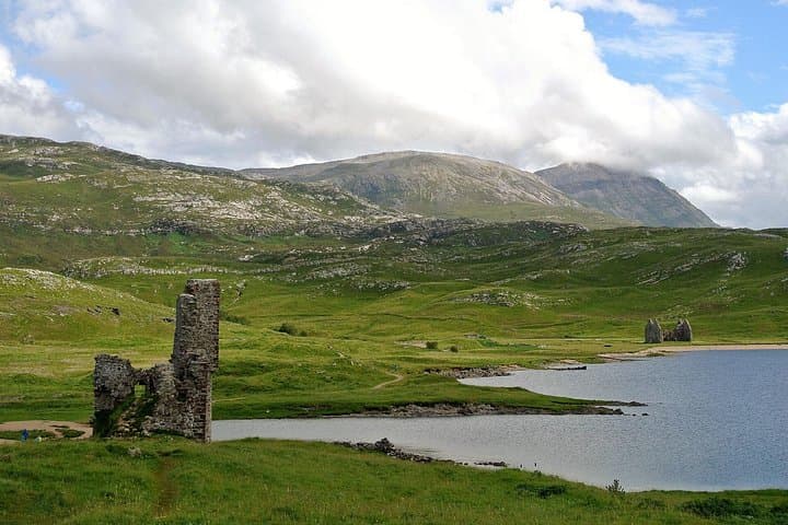
You start on a high coastal verge with wind pushing salt and peat-scented air across the bonnet, the Atlantic stretching flat and silver to the horizon. Single-track roads cleave through heather moor and serrated cliffs, while lochs lie like dark mirrors in the glens. This online self-guided plan hands you the route pins and a sensible timeline so those moments — a sudden colony of guillemots, a ruined tower catching afternoon light — don’t get missed.
Verified experiences and guided adventures in the surrounding area.
Operated by Uncover Britain Road Trips · Inverness, Highland
You start on a high coastal verge with wind pushing salt and peat-scented air across the bonnet, the Atlantic stretching flat and silver to the horizon. Single-track roads cleave through heather moor and serrated cliffs, while lochs lie like dark mirrors in the glens. This online self-guided plan hands you the route pins and a sensible timeline so those moments — a sudden colony of guillemots, a ruined tower catching afternoon light — don’t get missed.
The north coast carries millennia: Pictish symbol stones, Norse place-names, and Neolithic sites on Orkney. Geology reads as chapters — Old Red Sandstone cliffs, basalt sills, and glacially carved sea lochs that funnel weather and vessels alike. Small fishing villages, working harbours and distilleries punctuate long stretches of open country; Culloden and Dunrobin anchor human history amid the landscape.
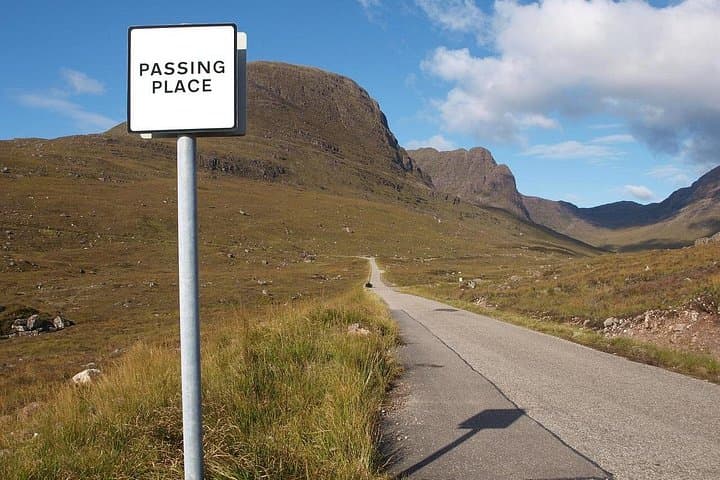
Practically, the guide maps up to 500 miles across three coastal sectors with sample 3–14 day itineraries, parking notes and ferry options for islands. Expect narrow roads, frequent passing places, variable weather and long daylight in summer. Fuel and grocery stops are sparse outside towns like Inverness, Ullapool or Durness — plan fills and overnight timing accordingly. The plan’s pre-populated Google Maps and year-long access make on-phone navigation straightforward; use offline downloads and a charged power bank. Whether you aim for castles, seabird cliffs, whisky or remote beaches, the route gives structure without dictating pace — drive responsibly, leave no trace, and let the coast challenge your timetable as much as your camera.
The plan covers up to roughly 500 miles across the north, with sample itineraries ranging from 3 to 14 days so you can scale the trip to your timeframe.
Popular summer dates and island ferries should be pre-booked; coastal B&Bs also fill fast in July–August.
The guide provides pre-populated Google Maps—download maps and directions for offline use and carry a charged power bank.
Yes—routes are designed for flexible pacing, but drivers should be comfortable using passing places and longer rural driving segments.
Uncover Britain Road Trips operates guided outdoor trips and adventures with an emphasis on safety, stewardship, and memorable experiences.
You start on a high coastal verge with wind pushing salt and peat-scented air across the bonnet, the Atlantic stretching flat and silver to the horizon. Single-track roads cleave through heather moor and serrated cliffs, while lochs lie like dark mirrors in the glens. This online self-guided plan hands you the route pins and a sensible timeline so those moments — a sudden colony of guillemots, a ruined tower catching afternoon light — don’t get missed.
You start on a high coastal verge with wind pushing salt and peat-scented air across the bonnet, the Atlantic stretching flat and silver to the horizon. Single-track roads cleave through heather moor and serrated cliffs, while lochs lie like dark mirrors in the glens. This online self-guided plan hands you the route pins and a sensible timeline so those moments — a sudden colony of guillemots, a ruined tower catching afternoon light — don’t get missed.
The north coast carries millennia: Pictish symbol stones, Norse place-names, and Neolithic sites on Orkney. Geology reads as chapters — Old Red Sandstone cliffs, basalt sills, and glacially carved sea lochs that funnel weather and vessels alike. Small fishing villages, working harbours and distilleries punctuate long stretches of open country; Culloden and Dunrobin anchor human history amid the landscape.
Practically, the guide maps up to 500 miles across three coastal sectors with sample 3–14 day itineraries, parking notes and ferry options for islands. Expect narrow roads, frequent passing places, variable weather and long daylight in summer. Fuel and grocery stops are sparse outside towns like Inverness, Ullapool or Durness — plan fills and overnight timing accordingly. The plan’s pre-populated Google Maps and year-long access make on-phone navigation straightforward; use offline downloads and a charged power bank. Whether you aim for castles, seabird cliffs, whisky or remote beaches, the route gives structure without dictating pace — drive responsibly, leave no trace, and let the coast challenge your timetable as much as your camera.