THE ADVENTURE COLLECTIVE® · Independent discovery and booking for outdoor travel

A 3–4 hour guided trek through northern Lanzarote from Montaña La Corona to the Famara cliffs. Expect volcanic ridgelines, vineyard terraces, and sweeping views of La Graciosa.
A 3–4 hour guided trek through northern Lanzarote from Montaña La Corona to the Famara cliffs. Expect volcanic ridgelines, vineyard terraces, and sweeping views of La Graciosa.
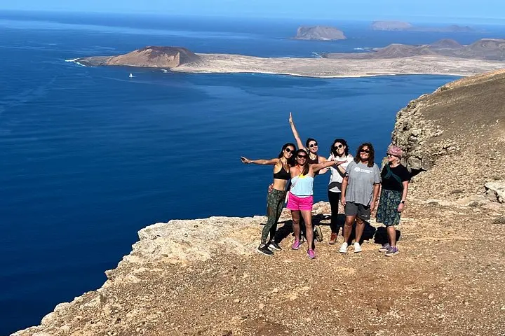
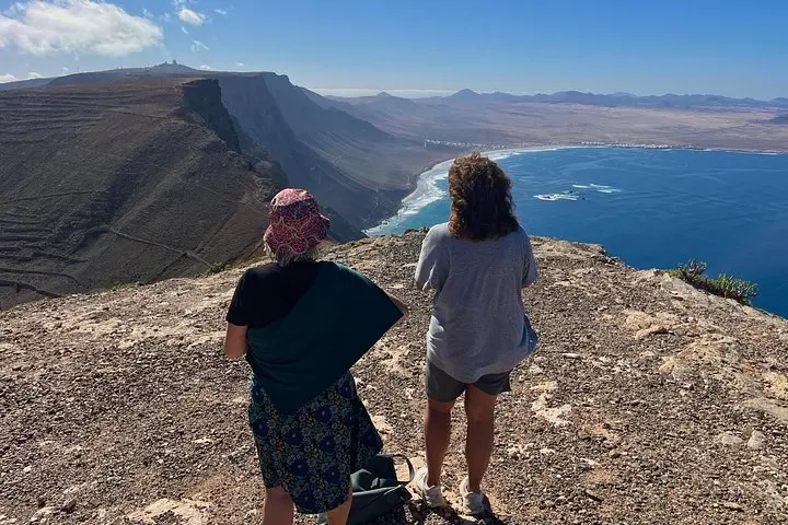
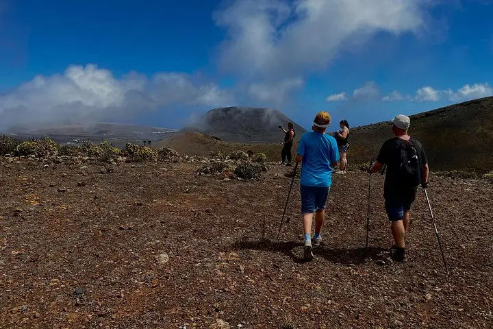
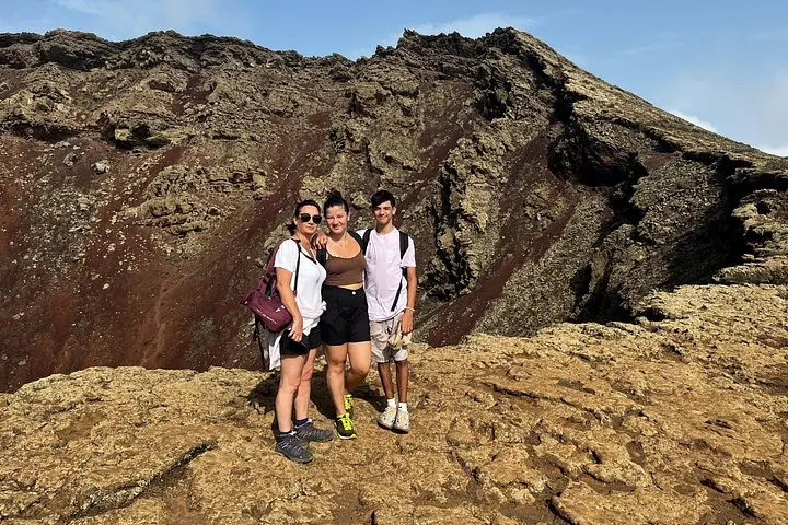
You step onto dark basalt as the Atlantic wind tugs at your jacket, the island opening in raw, angled planes. Ahead, Montaña La Corona rises like a cupped fist of rock; behind it, the cliffs of Famara drop to the sea where La Graciosa flashes on the horizon. The trail pushes you through volcanic scree, vineyard terraces, and a sequence of lookout points that change with each bend.
Verified experiences and guided adventures in the surrounding area.
Operated by Geotrekking Lanzarote · Haría, Canary Islands
You step onto dark basalt as the Atlantic wind tugs at your jacket, the island opening in raw, angled planes. Ahead, Montaña La Corona rises like a cupped fist of rock; behind it, the cliffs of Famara drop to the sea where La Graciosa flashes on the horizon. The trail pushes you through volcanic scree, vineyard terraces, and a sequence of lookout points that change with each bend.
Geology here is the story: recent volcanism carved calderas, hollowed long lava tubes and left the north of Lanzarote with stony slopes and pockets of unexpected fertility. Human history responds to that geology — the prickly rows of Malvasía vines trained behind stone walls, and small villages like Haría built in sheltered valleys to catch scarce water. The archipelago of Chinijo sits offshore, visible as a cluster of pale shapes from the Famara headland.
Practically: the route covers about 11 km with roughly 400 m of elevation change, taking 3–4 hours as a linear trek. Expect mixed terrain — packed volcanic ash, loose scree and stable tracks — and steady uphill sections to La Corona’s rim where a 6 km lava tube can be seen from above. Sun is relentless; wind can be strong on exposed sections. Tours run in small groups and typically include water, snacks and hiking poles.
Bring sturdy boots, layered clothing for wind, sunscreen and a small first-aid kit. Start early for cooler temperatures and clearer light, and keep to marked paths to protect fragile soils and native vegetation.
The route is about 11 km with ~400 m elevation change, rated moderate and usually takes 3–4 hours on guided departures.
The tour is described as accessible for most fitness levels, but the terrain and climbs may be challenging for young children or those with limited mobility.
The operator provides water and snacks, but carry extra water and preferred energy snacks if you sweat heavily or want more calories.
Public transport options exist nearby; check the confirmation for exact pickup or meeting instructions and allow extra time during high season.
Geotrekking Lanzarote operates guided outdoor trips and adventures with an emphasis on safety, stewardship, and memorable experiences.
You step onto dark basalt as the Atlantic wind tugs at your jacket, the island opening in raw, angled planes. Ahead, Montaña La Corona rises like a cupped fist of rock; behind it, the cliffs of Famara drop to the sea where La Graciosa flashes on the horizon. The trail pushes you through volcanic scree, vineyard terraces, and a sequence of lookout points that change with each bend.
You step onto dark basalt as the Atlantic wind tugs at your jacket, the island opening in raw, angled planes. Ahead, Montaña La Corona rises like a cupped fist of rock; behind it, the cliffs of Famara drop to the sea where La Graciosa flashes on the horizon. The trail pushes you through volcanic scree, vineyard terraces, and a sequence of lookout points that change with each bend.
Geology here is the story: recent volcanism carved calderas, hollowed long lava tubes and left the north of Lanzarote with stony slopes and pockets of unexpected fertility. Human history responds to that geology — the prickly rows of Malvasía vines trained behind stone walls, and small villages like Haría built in sheltered valleys to catch scarce water. The archipelago of Chinijo sits offshore, visible as a cluster of pale shapes from the Famara headland.
Practically: the route covers about 11 km with roughly 400 m of elevation change, taking 3–4 hours as a linear trek. Expect mixed terrain — packed volcanic ash, loose scree and stable tracks — and steady uphill sections to La Corona’s rim where a 6 km lava tube can be seen from above. Sun is relentless; wind can be strong on exposed sections. Tours run in small groups and typically include water, snacks and hiking poles.
Bring sturdy boots, layered clothing for wind, sunscreen and a small first-aid kit. Start early for cooler temperatures and clearer light, and keep to marked paths to protect fragile soils and native vegetation.