THE ADVENTURE COLLECTIVE® · Independent discovery and booking for outdoor travel

A day hike from the ridge above Nanu Oya into Nuwara Eliya's tea country blends birdwatching with estate scenery and village life. Expect 15–30 km options through tea fields, forest edges, and quiet lanes with a local naturalist guide.
A day hike from the ridge above Nanu Oya into Nuwara Eliya's tea country blends birdwatching with estate scenery and village life. Expect 15–30 km options through tea fields, forest edges, and quiet lanes with a local naturalist guide.
A cool mist hugs the ridgeline as a small group sets off from a village above Nanu Oya, the hill road dropping away beneath clipped tea rows. Steps through packed earth and leaf litter lead past wooden houses and into a patchwork of green—tea terraces that seem to ripple toward the valley. Birdsong threads the air; a naturalist points out a flash of yellow in a bush and a skulking junglefowl at the field edge.
Verified experiences and guided adventures in the surrounding area.
Operated by Hike Lanka · Nuwara Eliya, Central Province
A cool mist hugs the ridgeline as a small group sets off from a village above Nanu Oya, the hill road dropping away beneath clipped tea rows. Steps through packed earth and leaf litter lead past wooden houses and into a patchwork of green—tea terraces that seem to ripple toward the valley. Birdsong threads the air; a naturalist points out a flash of yellow in a bush and a skulking junglefowl at the field edge.
This corridor of Central Province was shaped by granite highlands and colonial-era plantation routes. Nuwara Eliya became a British hill station in the 19th century; the tea estates that dominate the slopes were carved from cloud-forest and now define both the economy and skyline. Geologically, the area sits on the island's central massif—rounded peaks, deep valleys, and fast-draining soils that favor tea and montane shrub.
Culturally the trail crosses working landscapes: smallholder gardens, stone walls, and village chapels. Local guides weave natural history with stories of estate life and seasonal bird movements, making the hike both observational and social.
Practically, expect 15–30 km options on dirt tracks and narrow lanes, roughly 5 hours for the typical full-day route offered. Trails vary from gentle climbs to steeper descents; wet weather can make sections slick. Bring binoculars, a waterproof layer, sturdy shoes, and water. Start early for best light and bird activity, and allow extra time for photos and short stops to talk to residents—the trail is as much a cultural stroll as it is a nature hike.
The operator offers customizable routes typically between 15 and 30 km; a full-day hike runs about 4–6 hours including stops.
Common sightings include Sri Lanka white-eye and yellow-eared bulbul, with chances for endemic species like the dull-blue flycatcher in nearby forested patches.
Yes—routes can be adapted for different fitness levels, but long distances and uneven terrain make shorter options better for young children or less fit participants.
A local naturalist guide is recommended for bird identification, route knowledge, and cultural context; many operators include a guide in the tour.
Hike Lanka operates guided outdoor trips and adventures with an emphasis on safety, stewardship, and memorable experiences.
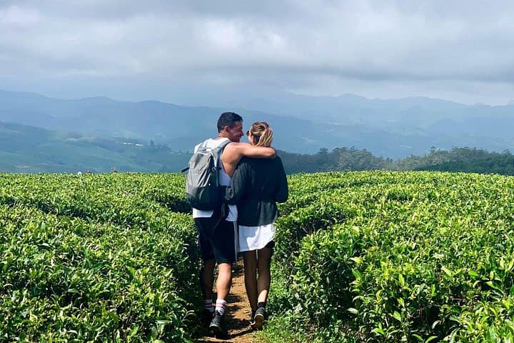
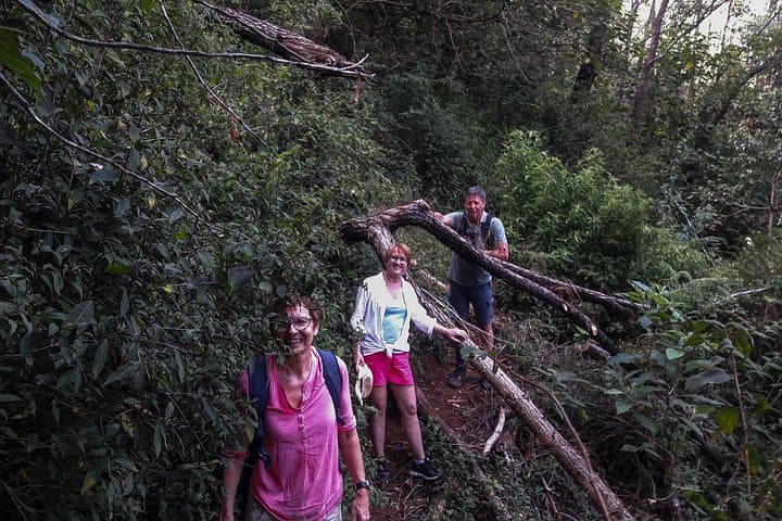
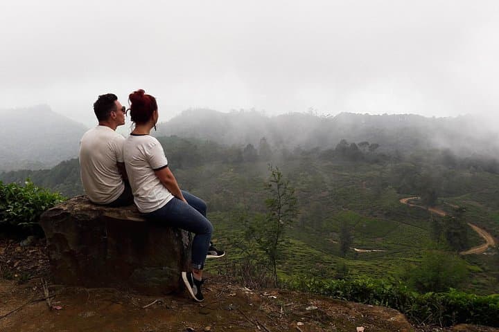
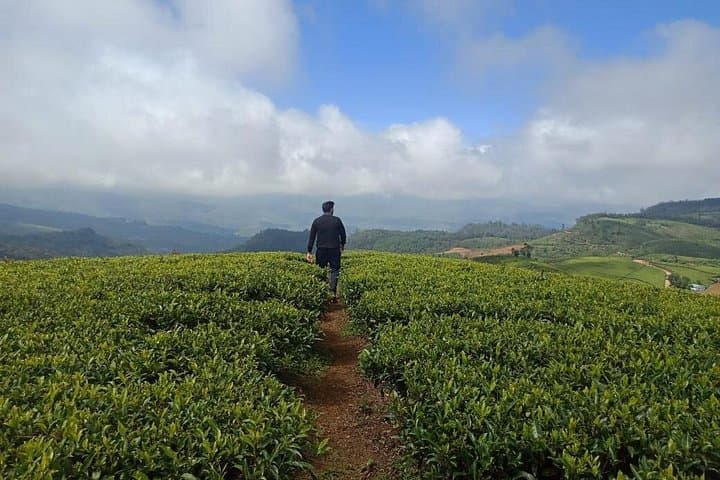
A cool mist hugs the ridgeline as a small group sets off from a village above Nanu Oya, the hill road dropping away beneath clipped tea rows. Steps through packed earth and leaf litter lead past wooden houses and into a patchwork of green—tea terraces that seem to ripple toward the valley. Birdsong threads the air; a naturalist points out a flash of yellow in a bush and a skulking junglefowl at the field edge.
A cool mist hugs the ridgeline as a small group sets off from a village above Nanu Oya, the hill road dropping away beneath clipped tea rows. Steps through packed earth and leaf litter lead past wooden houses and into a patchwork of green—tea terraces that seem to ripple toward the valley. Birdsong threads the air; a naturalist points out a flash of yellow in a bush and a skulking junglefowl at the field edge.
This corridor of Central Province was shaped by granite highlands and colonial-era plantation routes. Nuwara Eliya became a British hill station in the 19th century; the tea estates that dominate the slopes were carved from cloud-forest and now define both the economy and skyline. Geologically, the area sits on the island's central massif—rounded peaks, deep valleys, and fast-draining soils that favor tea and montane shrub.
Culturally the trail crosses working landscapes: smallholder gardens, stone walls, and village chapels. Local guides weave natural history with stories of estate life and seasonal bird movements, making the hike both observational and social.
Practically, expect 15–30 km options on dirt tracks and narrow lanes, roughly 5 hours for the typical full-day route offered. Trails vary from gentle climbs to steeper descents; wet weather can make sections slick. Bring binoculars, a waterproof layer, sturdy shoes, and water. Start early for best light and bird activity, and allow extra time for photos and short stops to talk to residents—the trail is as much a cultural stroll as it is a nature hike.