THE ADVENTURE COLLECTIVE® · Independent discovery and booking for outdoor travel

Drive from Chiang Mai into the highlands for sweeping rice terraces, a cloud-forest boardwalk, twin royal pagodas and a thunderous waterfall. This full-day outing packs cultural stops and easy walks into a single accessible route.
Drive from Chiang Mai into the highlands for sweeping rice terraces, a cloud-forest boardwalk, twin royal pagodas and a thunderous waterfall. This full-day outing packs cultural stops and easy walks into a single accessible route.
A cool mountain road peels away from Chiang Mai's lowland heat and climbs into a different climate: terraced rice bowls unfold along the slopes, and cloud-wreathed forest crowds the highway toward Thailand’s highest summit.
Verified experiences and guided adventures in the surrounding area.
Operated by Chiang Mai Footsteps Travel · Chom Thong, Chiang Mai
A cool mountain road peels away from Chiang Mai's lowland heat and climbs into a different climate: terraced rice bowls unfold along the slopes, and cloud-wreathed forest crowds the highway toward Thailand’s highest summit.
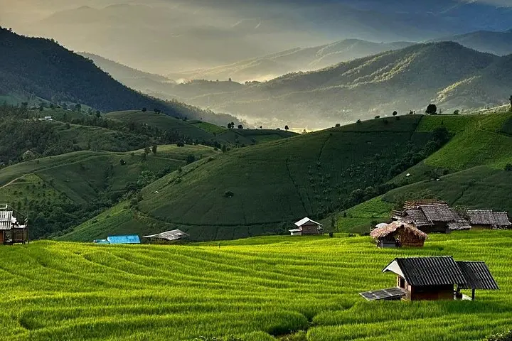
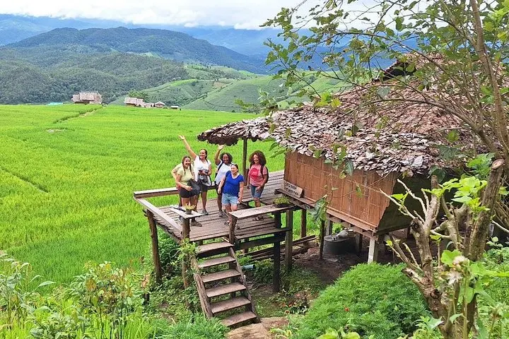
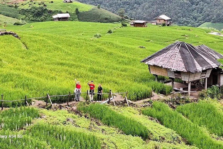
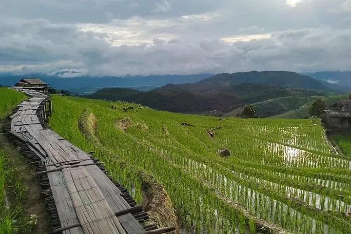
The Pa Pong Piang terraces open like stitched steps, shaped by Karen farmers over generations; further up, moss-soft boardwalks of the Ang Ka Nature Trail thread through a high-elevation cloud forest. Geologically, Doi Inthanon is part of the Thanon Thong Chai Range — older crystalline rock uplifted to create steep ridges and fast-moving streams that feed falls such as Wachirathan. Culturally, the twin royal pagodas near the summit honor Thailand’s monarchy and are surrounded by gardens and coffee plots where local growers cultivate highland beans.
On a day trip you’ll balance easy boardwalks and viewpoints with short walks around gardens, a coffee stop in a mountain village, and the thunder of a waterfall. Weather shifts quickly: mist can drape the pagodas one moment and burn off to clear vistas the next. Expect cool air at higher elevations and clinging humidity lower down.
Practical guidance: depart early from Chiang Mai to avoid traffic and capture morning light on the terraces; bring layers for summit temperatures, a waterproof outer layer for the rainy season, sturdy shoes for slippery trails, and small-change cash for local purchases. Respect village areas, follow trail signs at Ang Ka, and allow time for photography at multiple lookout points — the route is compact but rich in variety.
The guided tour is a full-day outing (about 6 hours on-site) with roughly 1.5–2 hours each way by vehicle depending on traffic and pickup location.
No—the Ang Ka Nature Trail is a short, mostly flat boardwalk loop suitable for most visitors; some roots and damp sections can be slippery.
Doi Inthanon’s summit is around 2,565 m; most visitors experience only mild breathlessness—those sensitive to altitude should move slowly and stay hydrated.
Entrance fees and lunch are included in this outing, though small purchases like coffee tastings or souvenirs are extra.
Chiang Mai Footsteps Travel operates guided outdoor trips and adventures with an emphasis on safety, stewardship, and memorable experiences.
A cool mountain road peels away from Chiang Mai's lowland heat and climbs into a different climate: terraced rice bowls unfold along the slopes, and cloud-wreathed forest crowds the highway toward Thailand’s highest summit.
A cool mountain road peels away from Chiang Mai's lowland heat and climbs into a different climate: terraced rice bowls unfold along the slopes, and cloud-wreathed forest crowds the highway toward Thailand’s highest summit.
The Pa Pong Piang terraces open like stitched steps, shaped by Karen farmers over generations; further up, moss-soft boardwalks of the Ang Ka Nature Trail thread through a high-elevation cloud forest. Geologically, Doi Inthanon is part of the Thanon Thong Chai Range — older crystalline rock uplifted to create steep ridges and fast-moving streams that feed falls such as Wachirathan. Culturally, the twin royal pagodas near the summit honor Thailand’s monarchy and are surrounded by gardens and coffee plots where local growers cultivate highland beans.
On a day trip you’ll balance easy boardwalks and viewpoints with short walks around gardens, a coffee stop in a mountain village, and the thunder of a waterfall. Weather shifts quickly: mist can drape the pagodas one moment and burn off to clear vistas the next. Expect cool air at higher elevations and clinging humidity lower down.
Practical guidance: depart early from Chiang Mai to avoid traffic and capture morning light on the terraces; bring layers for summit temperatures, a waterproof outer layer for the rainy season, sturdy shoes for slippery trails, and small-change cash for local purchases. Respect village areas, follow trail signs at Ang Ka, and allow time for photography at multiple lookout points — the route is compact but rich in variety.