THE ADVENTURE COLLECTIVE® · Independent discovery and booking for outdoor travel

A full-day private hike from Cusco to Pallay Punchu delivers sharp ridgelines, high puna grasslands and panoramic views from 4,791 m. Expect long drives, a steep one-hour climb, and cultural stops at Layo and the three bridges of Checacupe.
A full-day private hike from Cusco to Pallay Punchu delivers sharp ridgelines, high puna grasslands and panoramic views from 4,791 m. Expect long drives, a steep one-hour climb, and cultural stops at Layo and the three bridges of Checacupe.
Before dawn the van slides out of Cusco’s historic center and the city’s warm lights shrink behind you. The Andes open like a series of breathless steps — puna grass, stone walls, and a single serrated profile that locals call Pallay Punchu or “the Sharp Mountain.” By the time you reach Layo the air is thin and bright; the mountain sits above at 4,791 m, a raw ridge that seems to dare you to climb.
Verified experiences and guided adventures in the surrounding area.
Operated by QORIANKA TOURS · Layo, Cusco
Before dawn the van slides out of Cusco’s historic center and the city’s warm lights shrink behind you. The Andes open like a series of breathless steps — puna grass, stone walls, and a single serrated profile that locals call Pallay Punchu or “the Sharp Mountain.” By the time you reach Layo the air is thin and bright; the mountain sits above at 4,791 m, a raw ridge that seems to dare you to climb.
Geologically the peak is a product of Andean uplift, folded layers of volcanic and sedimentary rock shaped by glacial carving. Culturally this route threads Quechua-speaking highland communities, traditional terraces, and colonial-era stone bridges at Checacupe — places where livestock, crop cycles, and a living knowledge of altitude meet. Guides typically share local stories about condors and shepherding while explaining how the landscape was managed long before modern maps.
Practically: expect a very early pickup, roughly 2–3 hours of driving total, and one steep hour of uphill walking from the trailhead (about 800–900 m of altitude gain from nearby villages). The tour is a full-day outing—plan for 12–14 hours including transport. Altitude is the main challenge; move deliberately and use the oxygen provided if you feel dizzy. Wear sturdy boots, layered clothing for wind and sun, and bring at least 2–3 liters of water and a high-energy snack. Photography windows are short—light is best mid-morning—and guides time stops for acclimatization and photos.
This is a compact, high-altitude hike best for travelers already acclimatized to Cusco who want dramatic, less-crowded panoramas without multi-day logistics.
Yes — because the summit reaches about 4,791 m, spending 2–3 days in Cusco or similar altitude beforehand is strongly recommended.
The uphill walk from the trailhead takes about one hour; total tour time including driving and stops is roughly 12–14 hours.
Hotel pickup in Cusco’s historic center, bilingual guide, transportation, breakfast and lunch (basic/box options), entrance tickets, first aid kit and oxygen are included.
It’s not recommended for pregnant travelers or for those with serious spinal or heart conditions; children should be assessed for altitude tolerance and fitness.
QORIANKA TOURS operates guided outdoor trips and adventures with an emphasis on safety, stewardship, and memorable experiences.
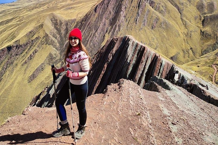
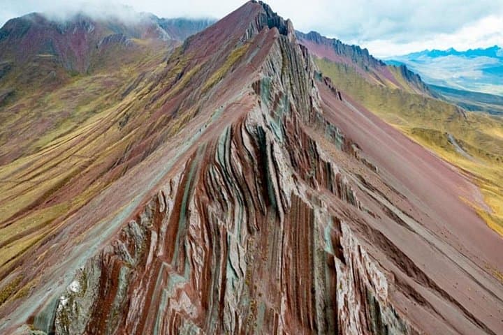
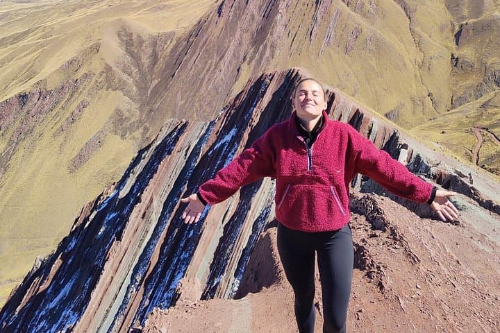
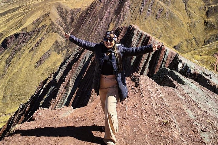
Before dawn the van slides out of Cusco’s historic center and the city’s warm lights shrink behind you. The Andes open like a series of breathless steps — puna grass, stone walls, and a single serrated profile that locals call Pallay Punchu or “the Sharp Mountain.” By the time you reach Layo the air is thin and bright; the mountain sits above at 4,791 m, a raw ridge that seems to dare you to climb.
Before dawn the van slides out of Cusco’s historic center and the city’s warm lights shrink behind you. The Andes open like a series of breathless steps — puna grass, stone walls, and a single serrated profile that locals call Pallay Punchu or “the Sharp Mountain.” By the time you reach Layo the air is thin and bright; the mountain sits above at 4,791 m, a raw ridge that seems to dare you to climb.
Geologically the peak is a product of Andean uplift, folded layers of volcanic and sedimentary rock shaped by glacial carving. Culturally this route threads Quechua-speaking highland communities, traditional terraces, and colonial-era stone bridges at Checacupe — places where livestock, crop cycles, and a living knowledge of altitude meet. Guides typically share local stories about condors and shepherding while explaining how the landscape was managed long before modern maps.
Practically: expect a very early pickup, roughly 2–3 hours of driving total, and one steep hour of uphill walking from the trailhead (about 800–900 m of altitude gain from nearby villages). The tour is a full-day outing—plan for 12–14 hours including transport. Altitude is the main challenge; move deliberately and use the oxygen provided if you feel dizzy. Wear sturdy boots, layered clothing for wind and sun, and bring at least 2–3 liters of water and a high-energy snack. Photography windows are short—light is best mid-morning—and guides time stops for acclimatization and photos.
This is a compact, high-altitude hike best for travelers already acclimatized to Cusco who want dramatic, less-crowded panoramas without multi-day logistics.