THE ADVENTURE COLLECTIVE® · Independent discovery and booking for outdoor travel

A full‑day drive from Leh brings you to Pangong Tso’s surreal blue shores and high‑desert ridgelines. Expect long road time, thin air, shifting light, and a compact itinerary with monastery stops en route.
A full‑day drive from Leh brings you to Pangong Tso’s surreal blue shores and high‑desert ridgelines. Expect long road time, thin air, shifting light, and a compact itinerary with monastery stops en route.
You arrive before the lake has fully warmed to the day: a thin blue sheet stretches across salt flats, mountains hunched like old guards along the shoreline, and the air is sharp enough to make your breath visible. The road from Leh climbs and falls through high desert, crossing Chang La and opening onto a horizon that feels improbably big.
Verified experiences and guided adventures in the surrounding area.
Operated by Go 360 · Leh, Ladakh
You arrive before the lake has fully warmed to the day: a thin blue sheet stretches across salt flats, mountains hunched like old guards along the shoreline, and the air is sharp enough to make your breath visible. The road from Leh climbs and falls through high desert, crossing Chang La and opening onto a horizon that feels improbably big.
Pangong Tso sits at about 4,350 m and straddles the India–China boundary; its changing colors are a product of depth, dissolved minerals, and the angle of sunlight. The basin sits in the rain shadow of the Greater Himalaya, so the terrain is arid—scree, salt flats, and folded sedimentary ridges tell a simplified geological story of uplift and evaporation. Culturally, the lake has long been part of Ladakhi nomadic life and trading routes; monasteries such as Thiksey and Shey along the route speak to Buddhism’s influence on local settlement patterns.
On a day trip expect long stretches in a sturdy vehicle, short stops at monasteries and roadside villages like Durbuk, and roughly an hour or more of time at the lake shore to walk, photograph, or simply sit. Weather shifts fast—sunny calm can flip to biting wind—and oxygen is thinner: move deliberately, hydrate, and skip heavy exertion until acclimatized.
Practical planning: leave Leh early to avoid afternoon winds, pack warm layers and sun protection, bring snacks and cash for basic tea stalls, and respect military-controlled zones near the border. The trip is straightforward logistics-wise but governed by altitude and remoteness—prepare for a long but unforgettable alpine day.
Indian nationals do not need a special permit to visit the Indian side of Pangong Lake; some areas near the Line of Actual Control are sensitive—follow guide instructions and carry ID.
Altitude affects people differently; spend 24–48 hours in Leh, hydrate, avoid alcohol, and descend if symptoms worsen—mild headaches are common, severe symptoms require medical attention.
The water is extremely cold and brackish—swimming is not recommended due to temperature, salinity, and remoteness from medical help.
Basic tea stalls and pit latrines are occasionally available near popular shore stops, but options are limited—plan accordingly and carry sanitation supplies.
Go 360 operates guided outdoor trips and adventures with an emphasis on safety, stewardship, and memorable experiences.
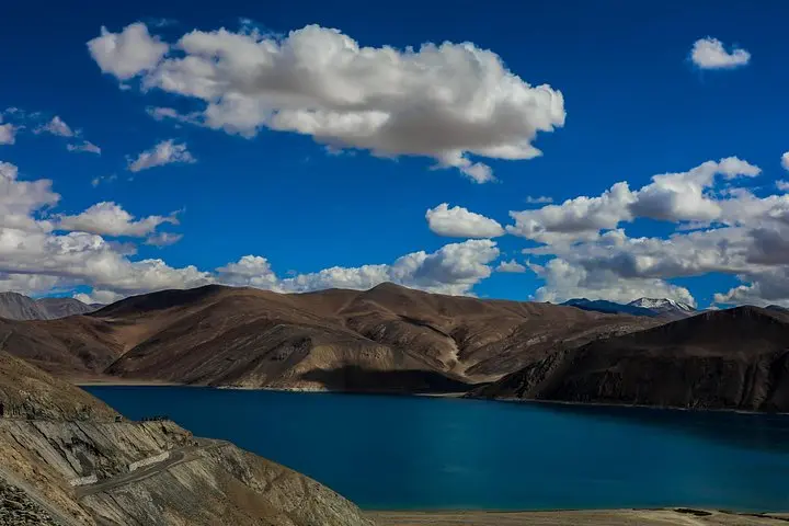
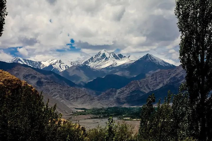
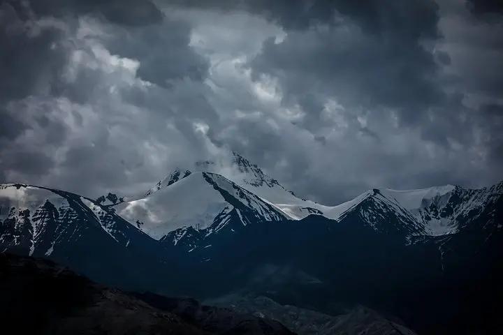
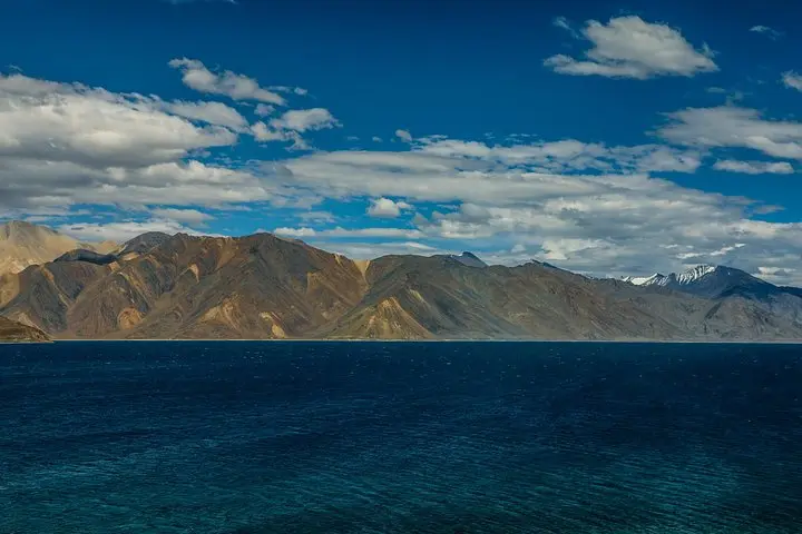
You arrive before the lake has fully warmed to the day: a thin blue sheet stretches across salt flats, mountains hunched like old guards along the shoreline, and the air is sharp enough to make your breath visible. The road from Leh climbs and falls through high desert, crossing Chang La and opening onto a horizon that feels improbably big.
You arrive before the lake has fully warmed to the day: a thin blue sheet stretches across salt flats, mountains hunched like old guards along the shoreline, and the air is sharp enough to make your breath visible. The road from Leh climbs and falls through high desert, crossing Chang La and opening onto a horizon that feels improbably big.
Pangong Tso sits at about 4,350 m and straddles the India–China boundary; its changing colors are a product of depth, dissolved minerals, and the angle of sunlight. The basin sits in the rain shadow of the Greater Himalaya, so the terrain is arid—scree, salt flats, and folded sedimentary ridges tell a simplified geological story of uplift and evaporation. Culturally, the lake has long been part of Ladakhi nomadic life and trading routes; monasteries such as Thiksey and Shey along the route speak to Buddhism’s influence on local settlement patterns.
On a day trip expect long stretches in a sturdy vehicle, short stops at monasteries and roadside villages like Durbuk, and roughly an hour or more of time at the lake shore to walk, photograph, or simply sit. Weather shifts fast—sunny calm can flip to biting wind—and oxygen is thinner: move deliberately, hydrate, and skip heavy exertion until acclimatized.
Practical planning: leave Leh early to avoid afternoon winds, pack warm layers and sun protection, bring snacks and cash for basic tea stalls, and respect military-controlled zones near the border. The trip is straightforward logistics-wise but governed by altitude and remoteness—prepare for a long but unforgettable alpine day.