THE ADVENTURE COLLECTIVE® · Independent discovery and booking for outdoor travel

Launch from a 1,880 m ridgeline above Apía and glide 15–25 minutes over coffee farms, plantain fields, and the valley that frames Viterbo. This tandem paragliding flight pairs experienced pilots with included photos and video for a half-day mountain adventure.
Launch from a 1,880 m ridgeline above Apía and glide 15–25 minutes over coffee farms, plantain fields, and the valley that frames Viterbo. This tandem paragliding flight pairs experienced pilots with included photos and video for a half-day mountain adventure.
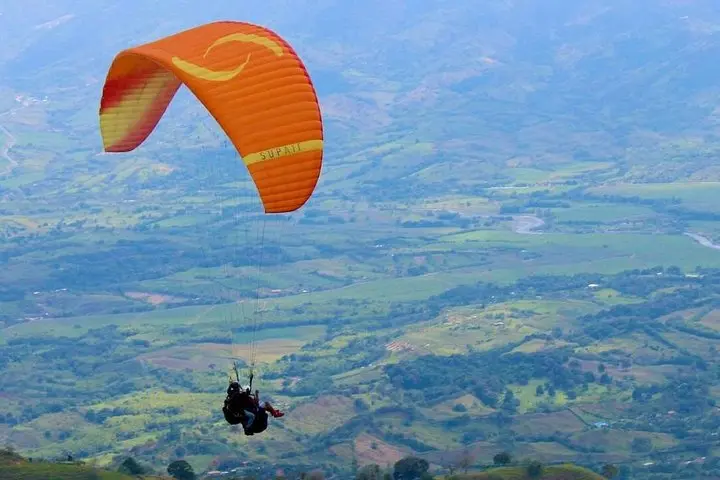
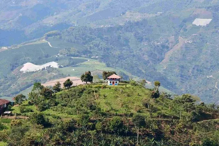
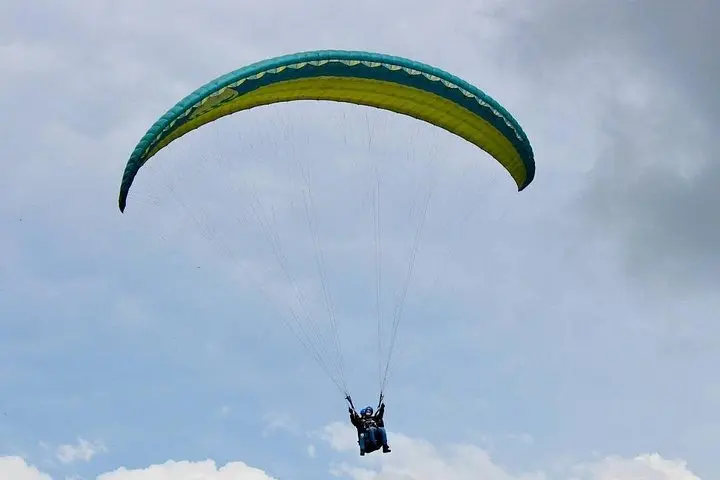
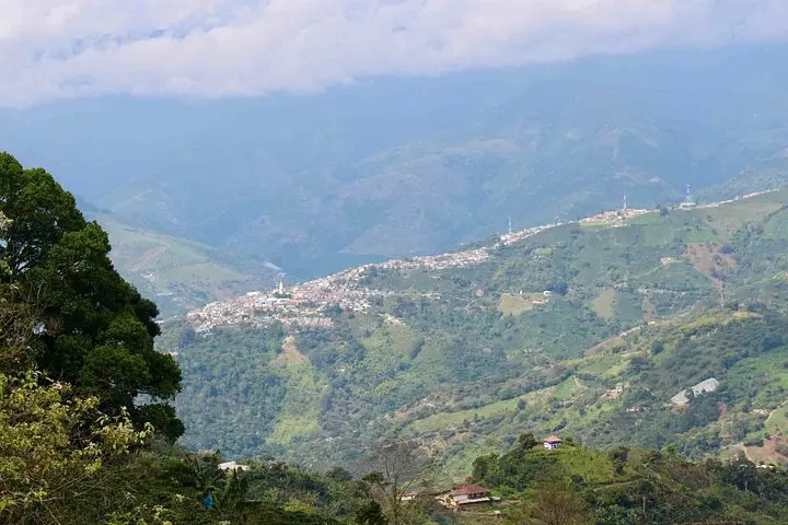
A cool mountain breeze catches the wing as the pilot checks rigging and the valley below opens like a working map—coffee plots, banana groves, and a scattering of bright orange trees. From the launch at about 1,880 m (6,168 ft) the town of Viterbo sits small in the fold of the valley while the distant bulk of Cerro de Tatamá (≈4,100 m) looms toward the horizon.
Verified experiences and guided adventures in the surrounding area.
Operated by BnB Colombia Tours · Apía, Risaralda
A cool mountain breeze catches the wing as the pilot checks rigging and the valley below opens like a working map—coffee plots, banana groves, and a scattering of bright orange trees. From the launch at about 1,880 m (6,168 ft) the town of Viterbo sits small in the fold of the valley while the distant bulk of Cerro de Tatamá (≈4,100 m) looms toward the horizon.
The western flank of Colombia’s Cordillera Occidental is agricultural history in motion: smallholder coffee farms that shaped local culture, terraces cut into slopes for plantain and avocados, and trails that follow old mule routes. Geologically, these ridgelines rise from volcanic and tectonic uplift; thermals over warmed slopes give paragliders lift and long glides when conditions align.
Culturally, Apía feels like coffee-country Colombia—slow mornings, strong mountain coffee, and welcoming hosts. The paragliding operation links that everyday life to an aerial viewpoint: pilots brief guests on safety, handle inflation and landing, and capture photos and a short video included with the flight.
Practical guidance: plan for a half-day—pick-up, drive up the mountain, safety briefing, and the 15–25 minute tandem flight. Expect unpaved access roads and a short, uneven approach at the launch; bring sturdy footwear and a windproof layer. Weather drives the schedule—early mornings or late afternoons often offer the best, most stable flying windows. If you have cardiovascular issues, are pregnant, or exceed the operator’s weight/height guidelines, discuss restrictions with the outfitter before booking. Hydrate, secure loose items, and arrive ready to trade a few steps on the launch slope for a lightweight, high-mountain perspective.
Tandem flights typically last 15–25 minutes depending on wind and thermal conditions; the whole tour is about a half-day with transport and briefing.
Yes—this tour includes photos and a short video of your flight captured by the pilot or guide.
Weight and size limits vary by operator and equipment—contact the provider with exact weights and measurements before booking.
Flights can be rescheduled or canceled for safety; the operator’s policy allows refunds if you cancel at least 24 hours prior, but check their specific weather and refund terms.
BnB Colombia Tours operates guided outdoor trips and adventures with an emphasis on safety, stewardship, and memorable experiences.
A cool mountain breeze catches the wing as the pilot checks rigging and the valley below opens like a working map—coffee plots, banana groves, and a scattering of bright orange trees. From the launch at about 1,880 m (6,168 ft) the town of Viterbo sits small in the fold of the valley while the distant bulk of Cerro de Tatamá (≈4,100 m) looms toward the horizon.
A cool mountain breeze catches the wing as the pilot checks rigging and the valley below opens like a working map—coffee plots, banana groves, and a scattering of bright orange trees. From the launch at about 1,880 m (6,168 ft) the town of Viterbo sits small in the fold of the valley while the distant bulk of Cerro de Tatamá (≈4,100 m) looms toward the horizon.
The western flank of Colombia’s Cordillera Occidental is agricultural history in motion: smallholder coffee farms that shaped local culture, terraces cut into slopes for plantain and avocados, and trails that follow old mule routes. Geologically, these ridgelines rise from volcanic and tectonic uplift; thermals over warmed slopes give paragliders lift and long glides when conditions align.
Culturally, Apía feels like coffee-country Colombia—slow mornings, strong mountain coffee, and welcoming hosts. The paragliding operation links that everyday life to an aerial viewpoint: pilots brief guests on safety, handle inflation and landing, and capture photos and a short video included with the flight.
Practical guidance: plan for a half-day—pick-up, drive up the mountain, safety briefing, and the 15–25 minute tandem flight. Expect unpaved access roads and a short, uneven approach at the launch; bring sturdy footwear and a windproof layer. Weather drives the schedule—early mornings or late afternoons often offer the best, most stable flying windows. If you have cardiovascular issues, are pregnant, or exceed the operator’s weight/height guidelines, discuss restrictions with the outfitter before booking. Hydrate, secure loose items, and arrive ready to trade a few steps on the launch slope for a lightweight, high-mountain perspective.