THE ADVENTURE COLLECTIVE® · Independent discovery and booking for outdoor travel

Walk across fresh-looking lava to the ruined church tower left standing by the Parícutin eruption and combine volcanic geology with Uruapan’s springs and Purépecha culture. This full-day hike from Morelia mixes horseback options, uneven volcanic terrain, and insightful local guiding.
Walk across fresh-looking lava to the ruined church tower left standing by the Parícutin eruption and combine volcanic geology with Uruapan’s springs and Purépecha culture. This full-day hike from Morelia mixes horseback options, uneven volcanic terrain, and insightful local guiding.
You step off the transfer into a landscape that still remembers its eruption — blocks of black scoria and jagged lava fields stretch toward a raw cone, the Parícutin crater rising like a recent scar against Michoacán’s sky. The church tower near San Juan Parangaricutiro pokes from a hardened flow; its ruined stones offer the clearest evidence of the 1943–1952 eruption that reshaped local valleys.
Verified experiences and guided adventures in the surrounding area.
Operated by Alfredo Tour Guide · Angahuan (Parícutin), Michoacán
You step off the transfer into a landscape that still remembers its eruption — blocks of black scoria and jagged lava fields stretch toward a raw cone, the Parícutin crater rising like a recent scar against Michoacán’s sky. The church tower near San Juan Parangaricutiro pokes from a hardened flow; its ruined stones offer the clearest evidence of the 1943–1952 eruption that reshaped local valleys.
Parícutin is a classic cinder cone: basaltic lava and tephra piled quickly from a vent that appeared in a farmer’s field. The area sits on the Trans-Mexican Volcanic Belt and is framed by Uruapan’s temperate forests and freshwater springs. Purépecha villages such as Angahuan keep living ties to the volcano — guides share oral history and show local uses of plants that recolonize the lava.
Expect a mixed day of walking and optional horseback approach. Trails cross loose volcanic scree, hardened aa flows, and patches of regenerating pine and grass; average approaches from the town are roughly 3–5 km round-trip with 300–400 m of ascent to viewpoints depending on the route.
Practicalities: tours from Morelia include private transport and admission; bring 2–3 liters of water, sun protection, and sturdy boots. The terrain is abrasive and unstable in places, so trekking poles help. The full excursion runs most of the day — 6–8 hours including stops — and is best for travelers in moderate condition. Respect local land use and the fragile regrowth: pack out waste, keep to paths, and tip guides who maintain access and share geological and cultural context.
Typical approaches used by day tours are about 3–5 km round-trip with roughly 300–400 m of elevation change depending on starting point and whether you ride a horse for part of the route.
The exposed tower at San Juan Parangaricutiro is a historic ruin visible above the lava — you can view and photograph it, but climbing unstable masonry or lava without guide permission is unsafe and discouraged.
Yes — many operators offer a horseback segment for an extra cost; horses help with the steeper approaches but you should still be prepared to walk on loose volcanic rock.
Standard inclusions are private transport to and from Morelia, a local guide, and admission to the volcanic ruins; confirm whether horse rental, meals, or gratuities are included before booking.
Alfredo Tour Guide operates guided outdoor trips and adventures with an emphasis on safety, stewardship, and memorable experiences.
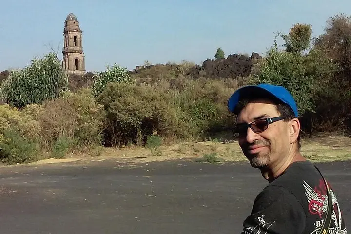
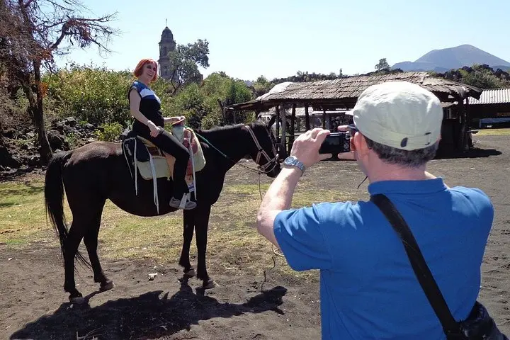
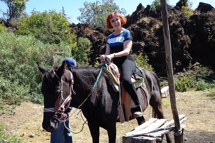
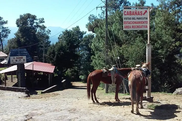
You step off the transfer into a landscape that still remembers its eruption — blocks of black scoria and jagged lava fields stretch toward a raw cone, the Parícutin crater rising like a recent scar against Michoacán’s sky. The church tower near San Juan Parangaricutiro pokes from a hardened flow; its ruined stones offer the clearest evidence of the 1943–1952 eruption that reshaped local valleys.
You step off the transfer into a landscape that still remembers its eruption — blocks of black scoria and jagged lava fields stretch toward a raw cone, the Parícutin crater rising like a recent scar against Michoacán’s sky. The church tower near San Juan Parangaricutiro pokes from a hardened flow; its ruined stones offer the clearest evidence of the 1943–1952 eruption that reshaped local valleys.
Parícutin is a classic cinder cone: basaltic lava and tephra piled quickly from a vent that appeared in a farmer’s field. The area sits on the Trans-Mexican Volcanic Belt and is framed by Uruapan’s temperate forests and freshwater springs. Purépecha villages such as Angahuan keep living ties to the volcano — guides share oral history and show local uses of plants that recolonize the lava.
Expect a mixed day of walking and optional horseback approach. Trails cross loose volcanic scree, hardened aa flows, and patches of regenerating pine and grass; average approaches from the town are roughly 3–5 km round-trip with 300–400 m of ascent to viewpoints depending on the route.
Practicalities: tours from Morelia include private transport and admission; bring 2–3 liters of water, sun protection, and sturdy boots. The terrain is abrasive and unstable in places, so trekking poles help. The full excursion runs most of the day — 6–8 hours including stops — and is best for travelers in moderate condition. Respect local land use and the fragile regrowth: pack out waste, keep to paths, and tip guides who maintain access and share geological and cultural context.