THE ADVENTURE COLLECTIVE® · Independent discovery and booking for outdoor travel

Traverse North Saint Vrain Creek to photograph Copeland Falls, Calypso Cascades and Ouzel Falls with a professional guide. Choose a 3.6-mile or 5.5-mile route, learn long-exposure techniques, and skip the Park’s timed-entry requirement thanks to the guide’s permit.
Traverse North Saint Vrain Creek to photograph Copeland Falls, Calypso Cascades and Ouzel Falls with a professional guide. Choose a 3.6-mile or 5.5-mile route, learn long-exposure techniques, and skip the Park’s timed-entry requirement thanks to the guide’s permit.
You step out of the car with a camera bag and a tripod, the high country air pulling cool and clean at your face. North Saint Vrain Creek guides the trail, its voice rising and falling as you move toward Copeland Falls, Calypso Cascades and, if you continue, Ouzel Falls. Water tugs at lenses and attention; the forest opens and closes like a shutter, revealing mossy rocks, wildflowers in season, and cliffs that throw back light.
Verified experiences and guided adventures in the surrounding area.
Operated by Rock Light Photo Tours · Estes Park, Colorado
You step out of the car with a camera bag and a tripod, the high country air pulling cool and clean at your face. North Saint Vrain Creek guides the trail, its voice rising and falling as you move toward Copeland Falls, Calypso Cascades and, if you continue, Ouzel Falls. Water tugs at lenses and attention; the forest opens and closes like a shutter, revealing mossy rocks, wildflowers in season, and cliffs that throw back light.
Wild Basin sits on the less-traveled southeast flank of Rocky Mountain National Park. Geologically the valley has been shaped by Pleistocene glaciation; waterfalls cascade where former glacier tongues met resistant bedrock. Culturally, Estes Park has long been the gateway for visitors drawn to these alpine rivers, and the basin’s quieter trails reward those willing to carry gear. Your guide’s commercial-use permit means no separate timed-entry reservation is required.
Expect 3.6–5.5 miles round trip depending on your turn-back point, with roughly 700–1,000 feet of elevation gain and trail surfaces that alternate packed dirt, rocky steps, and streamside roots. Altitude matters here—hikes range between about 8,500 and 9,500 feet—so pace deliberately and hydrate.
For photographers: bring a tripod, polarizer, and neutral-density options; learn long-exposure techniques for silky water and short exposures for crisp detail. Practically, start early for better light, layer for afternoon sun or sudden mountain weather, and wear grippy footwear for slick river crossings. Wild Basin delivers scenery and photographic variety without the crowds of higher Park loops—just let the creek set the tempo.
No; the guide operates under a commercial use permit, so participants do not need their own timed-entry reservation for the Wild Basin portion.
Ouzel Falls is about 5.5 miles round trip with roughly 1,000 feet of elevation gain—moderate in difficulty, especially at altitude.
Bring a tripod, a polarizing filter, spare batteries, memory cards, and optionally neutral-density filters for longer exposures.
Facilities are limited; use restrooms at trailheads and carry sufficient water—treat or filter creek water only if you have proper purification.
Rock Light Photo Tours operates guided outdoor trips and adventures with an emphasis on safety, stewardship, and memorable experiences.
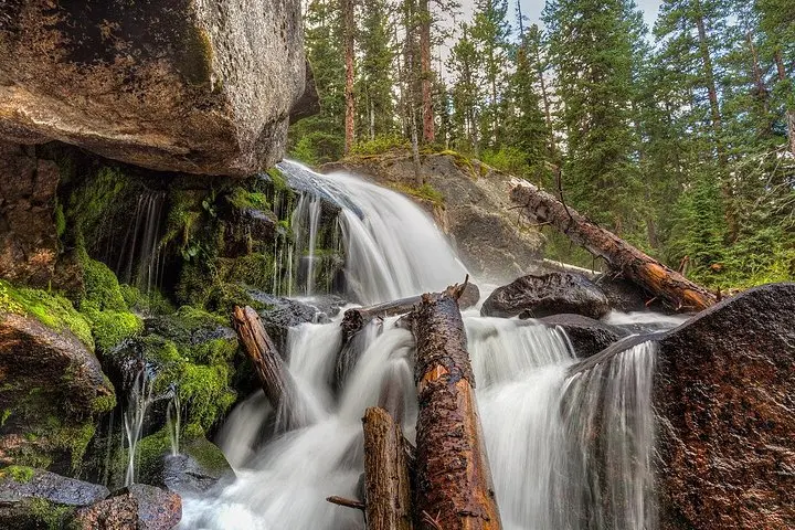
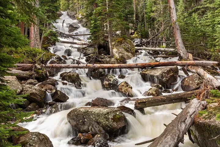
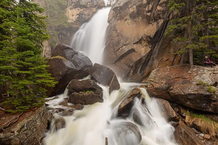
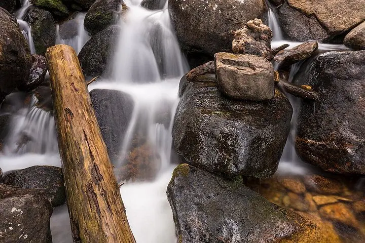
You step out of the car with a camera bag and a tripod, the high country air pulling cool and clean at your face. North Saint Vrain Creek guides the trail, its voice rising and falling as you move toward Copeland Falls, Calypso Cascades and, if you continue, Ouzel Falls. Water tugs at lenses and attention; the forest opens and closes like a shutter, revealing mossy rocks, wildflowers in season, and cliffs that throw back light.
You step out of the car with a camera bag and a tripod, the high country air pulling cool and clean at your face. North Saint Vrain Creek guides the trail, its voice rising and falling as you move toward Copeland Falls, Calypso Cascades and, if you continue, Ouzel Falls. Water tugs at lenses and attention; the forest opens and closes like a shutter, revealing mossy rocks, wildflowers in season, and cliffs that throw back light.
Wild Basin sits on the less-traveled southeast flank of Rocky Mountain National Park. Geologically the valley has been shaped by Pleistocene glaciation; waterfalls cascade where former glacier tongues met resistant bedrock. Culturally, Estes Park has long been the gateway for visitors drawn to these alpine rivers, and the basin’s quieter trails reward those willing to carry gear. Your guide’s commercial-use permit means no separate timed-entry reservation is required.
Expect 3.6–5.5 miles round trip depending on your turn-back point, with roughly 700–1,000 feet of elevation gain and trail surfaces that alternate packed dirt, rocky steps, and streamside roots. Altitude matters here—hikes range between about 8,500 and 9,500 feet—so pace deliberately and hydrate.
For photographers: bring a tripod, polarizer, and neutral-density options; learn long-exposure techniques for silky water and short exposures for crisp detail. Practically, start early for better light, layer for afternoon sun or sudden mountain weather, and wear grippy footwear for slick river crossings. Wild Basin delivers scenery and photographic variety without the crowds of higher Park loops—just let the creek set the tempo.