THE ADVENTURE COLLECTIVE® · Independent discovery and booking for outdoor travel

Follow wartime trails to Pu To Co’s 1,700m summit for panoramic views of Muong Thanh Valley and first‑hand history from local guides. This full‑day trek blends steep forest ascents, wartime sites and authentic village hospitality.
Follow wartime trails to Pu To Co’s 1,700m summit for panoramic views of Muong Thanh Valley and first‑hand history from local guides. This full‑day trek blends steep forest ascents, wartime sites and authentic village hospitality.
Dawn breaks over the Muong Thanh Valley and the slopes of Pu To Co fill with pale light; the ridge lines push fog sideways like a moving wall and the trail eases into a rhythm of step, breath, and history.
Verified experiences and guided adventures in the surrounding area.
Operated by Local Tours HALONG · Dien Bien Phu, Dien Bien Province
Dawn breaks over the Muong Thanh Valley and the slopes of Pu To Co fill with pale light; the ridge lines push fog sideways like a moving wall and the trail eases into a rhythm of step, breath, and history.
This one-day trek follows routes used during the 1954 Dien Bien Phu campaign. From lowland homestays in Ban Kha village the path climbs through mixed montane forest and secondary growth toward Pu To Co’s observation posts at about 1,700 meters. The geology here is folded, weathered hill country—red clay soils, rocky outcrops and patches of limestone—shaping steep gullies and abrupt viewpoints that once mattered for artillery and strategy.
Culturally the region is home to Thai and Hmong communities; homestay meals and simple village life are part of the day. Along the route you’ll pass wartime bunkers and command positions where guides explain how terrain influenced tactics, then reach the summit outlook where the Muong Thanh floor stretches out below—the former battleground readable in terraces, ridgelines and villages.
Practical notes: the standard itinerary includes early pickup (around 6:30), breakfast, a 2–3 hour ascent and a 3–4 hour descent (descent route roughly 5.5 km), with transfers by jeep or motorbike. Trails are steep in sections, often muddy after rain; expect roots and loose rock. Bring 2–3 liters of water, sturdy hiking shoes, layered clothing for cooler summit winds, sun protection and modest respect at memorial sites. Start early for clearer views and cooler hiking conditions; guides provide historical context and local logistics for a seamless day return to Dien Bien Phu by evening.
The ascent typically takes about 2–3 hours; the full day itinerary (including transfers, site visits and descent) runs approximately 9 hours.
The route is rated moderate—suitable for most people in reasonable fitness, but it includes steep sections; guides can adapt pace and provide support.
1,700 meters can cause mild symptoms for some, but most travelers do not experience significant altitude illness; move at a steady pace and hydrate.
Local operators commonly use jeep, motorbike or car transfers from Dien Bien Phu and Ban Kha village as part of the tour package.
Local Tours HALONG operates guided outdoor trips and adventures with an emphasis on safety, stewardship, and memorable experiences.

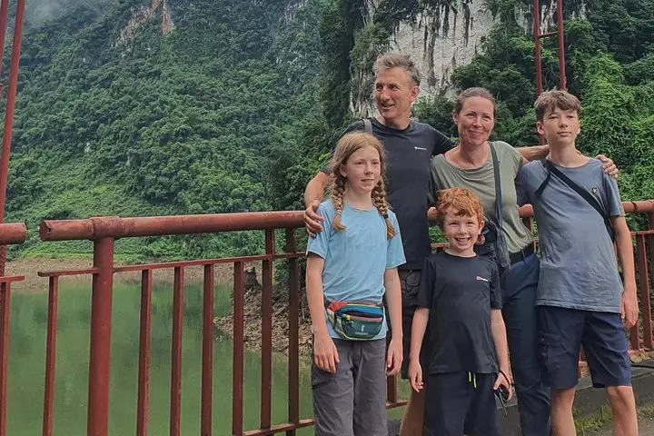
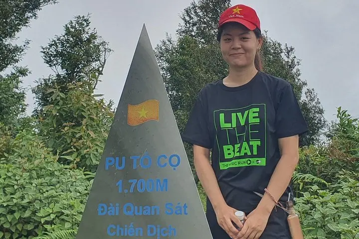
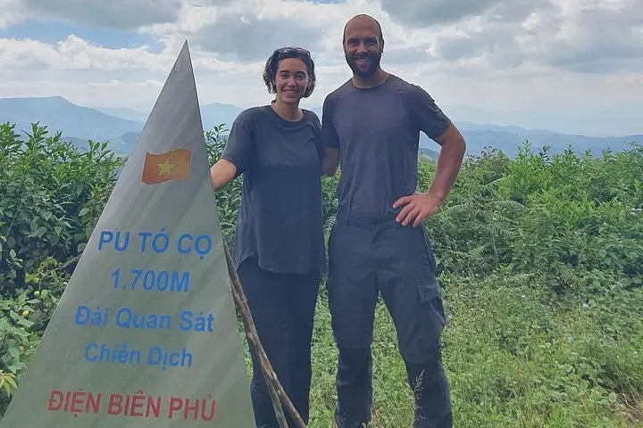
Dawn breaks over the Muong Thanh Valley and the slopes of Pu To Co fill with pale light; the ridge lines push fog sideways like a moving wall and the trail eases into a rhythm of step, breath, and history.
Dawn breaks over the Muong Thanh Valley and the slopes of Pu To Co fill with pale light; the ridge lines push fog sideways like a moving wall and the trail eases into a rhythm of step, breath, and history.
This one-day trek follows routes used during the 1954 Dien Bien Phu campaign. From lowland homestays in Ban Kha village the path climbs through mixed montane forest and secondary growth toward Pu To Co’s observation posts at about 1,700 meters. The geology here is folded, weathered hill country—red clay soils, rocky outcrops and patches of limestone—shaping steep gullies and abrupt viewpoints that once mattered for artillery and strategy.
Culturally the region is home to Thai and Hmong communities; homestay meals and simple village life are part of the day. Along the route you’ll pass wartime bunkers and command positions where guides explain how terrain influenced tactics, then reach the summit outlook where the Muong Thanh floor stretches out below—the former battleground readable in terraces, ridgelines and villages.
Practical notes: the standard itinerary includes early pickup (around 6:30), breakfast, a 2–3 hour ascent and a 3–4 hour descent (descent route roughly 5.5 km), with transfers by jeep or motorbike. Trails are steep in sections, often muddy after rain; expect roots and loose rock. Bring 2–3 liters of water, sturdy hiking shoes, layered clothing for cooler summit winds, sun protection and modest respect at memorial sites. Start early for clearer views and cooler hiking conditions; guides provide historical context and local logistics for a seamless day return to Dien Bien Phu by evening.