THE ADVENTURE COLLECTIVE® · Independent discovery and booking for outdoor travel

A one-day trek to Pu To Co combines steep forest trails, panoramic views of the Muong Thanh Valley, and on-the-ground history from the 1954 Dien Bien Phu campaign. Expect a full day of jeep transfers, wartime sites, and a 3‑hour climb to a 1,700 m summit.
A one-day trek to Pu To Co combines steep forest trails, panoramic views of the Muong Thanh Valley, and on-the-ground history from the 1954 Dien Bien Phu campaign. Expect a full day of jeep transfers, wartime sites, and a 3‑hour climb to a 1,700 m summit.
A raw mountain wind meets you on the ridge as the jeep drops you at the trailhead and the valley below opens into the long, green sweep of Muong Thanh. You start along dirt tracks once used to move troops and supplies, the undergrowth giving way to steeper slabs of forested hillside. The trail climbs steadily toward Pu To Co Peak (≈1,700 m); from the summit the Muong Thanh Valley spreads like a mapped battlefield and the air carries the quiet of places that remember.
Verified experiences and guided adventures in the surrounding area.
Operated by Authentic Hanoi Homestay & Travel · Dien Bien Phu, Dien Bien Province
A raw mountain wind meets you on the ridge as the jeep drops you at the trailhead and the valley below opens into the long, green sweep of Muong Thanh. You start along dirt tracks once used to move troops and supplies, the undergrowth giving way to steeper slabs of forested hillside. The trail climbs steadily toward Pu To Co Peak (≈1,700 m); from the summit the Muong Thanh Valley spreads like a mapped battlefield and the air carries the quiet of places that remember.
The route follows paths tied to the 1954 Dien Bien Phu Campaign. Muong Phang, nearby, served as General Vo Nguyen Giap’s headquarters and still holds bunkers and low concrete shelters carved into the earth. Geologically these mountains are folded layers of limestone and shale; steep ridgelines and dense montane forest create sudden viewpoints and sheltered gullies. The area is culturally Hmong and Thai country—little villages at the base preserve stilt houses, woven textiles, and simple market rhythms.
Practically, expect a full-day outing: jeep transfers, historical stops, then about three hours of ascending terrain to the peak with rocky steps, roots, and occasional muddy patches. Carry at least 2 liters of water, wear stiff-soled boots, and plan for wind and fast weather changes at elevation. Guides narrate wartime strategy and point out observation positions—this is as much a history walk as a mountain trek. Time your visit for clear mornings to catch the sweeping valley light and to avoid heavy afternoon storms.
From the Muong Phang area the uphill walk to the summit is roughly 2.5–3 hours each way depending on pace and stops, with the full tour lasting about 10 hours including transfers and historical visits.
Yes—operators rate it accessible for people in reasonable health, but participants should be comfortable with sustained uphill walking and basic uneven-trail navigation.
Typical inclusions are jeep transfers, English/Vietnamese guide, breakfast and lunch, and bottled water for the trip; confirm specifics with the operator when booking.
At ~1,700 m altitude effects are usually mild; take it slow if you feel breathless, hydrate, and inform your guide if you have heart or respiratory concerns.
Authentic Hanoi Homestay & Travel operates guided outdoor trips and adventures with an emphasis on safety, stewardship, and memorable experiences.
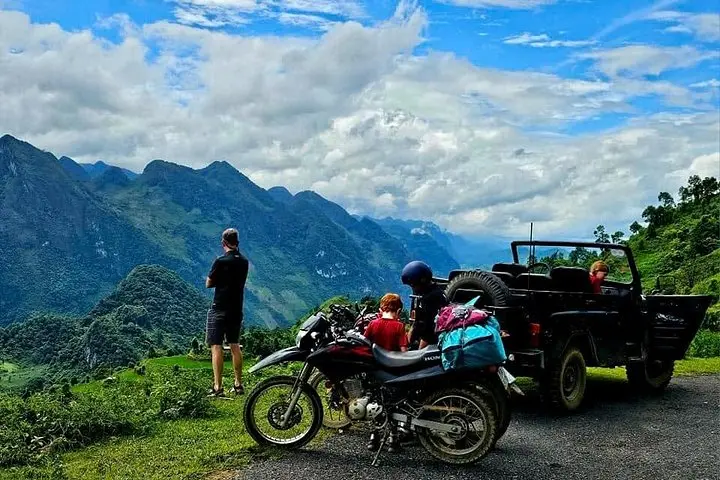
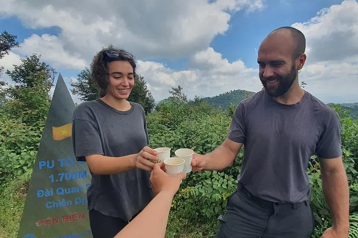
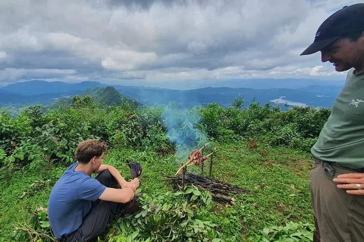
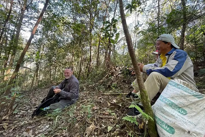
A raw mountain wind meets you on the ridge as the jeep drops you at the trailhead and the valley below opens into the long, green sweep of Muong Thanh. You start along dirt tracks once used to move troops and supplies, the undergrowth giving way to steeper slabs of forested hillside. The trail climbs steadily toward Pu To Co Peak (≈1,700 m); from the summit the Muong Thanh Valley spreads like a mapped battlefield and the air carries the quiet of places that remember.
A raw mountain wind meets you on the ridge as the jeep drops you at the trailhead and the valley below opens into the long, green sweep of Muong Thanh. You start along dirt tracks once used to move troops and supplies, the undergrowth giving way to steeper slabs of forested hillside. The trail climbs steadily toward Pu To Co Peak (≈1,700 m); from the summit the Muong Thanh Valley spreads like a mapped battlefield and the air carries the quiet of places that remember.
The route follows paths tied to the 1954 Dien Bien Phu Campaign. Muong Phang, nearby, served as General Vo Nguyen Giap’s headquarters and still holds bunkers and low concrete shelters carved into the earth. Geologically these mountains are folded layers of limestone and shale; steep ridgelines and dense montane forest create sudden viewpoints and sheltered gullies. The area is culturally Hmong and Thai country—little villages at the base preserve stilt houses, woven textiles, and simple market rhythms.
Practically, expect a full-day outing: jeep transfers, historical stops, then about three hours of ascending terrain to the peak with rocky steps, roots, and occasional muddy patches. Carry at least 2 liters of water, wear stiff-soled boots, and plan for wind and fast weather changes at elevation. Guides narrate wartime strategy and point out observation positions—this is as much a history walk as a mountain trek. Time your visit for clear mornings to catch the sweeping valley light and to avoid heavy afternoon storms.