THE ADVENTURE COLLECTIVE® · Independent discovery and booking for outdoor travel

Follow wartime observation trails to Pu To Co Peak (1,700 m) for sweeping views of the Muong Thanh Valley. This full-day trek blends 1954 Dien Bien Phu history with rugged mountain scenery and local village life.
Follow wartime observation trails to Pu To Co Peak (1,700 m) for sweeping views of the Muong Thanh Valley. This full-day trek blends 1954 Dien Bien Phu history with rugged mountain scenery and local village life.
Dawn breaks cold and bright over the Muong Thanh basin as a jeep climbs toward Ban Kha and the trailhead. You step out into thin mountain air, the path folding upward through mixed pine and broadleaf forest; the silence is punctuated by distant birdcalls and the crunch of decades-old trails once used for wartime observation.
Verified experiences and guided adventures in the surrounding area.
Operated by Local Tours Ha Giang · Dien Bien Phu, Dien Bien Province
Dawn breaks cold and bright over the Muong Thanh basin as a jeep climbs toward Ban Kha and the trailhead. You step out into thin mountain air, the path folding upward through mixed pine and broadleaf forest; the silence is punctuated by distant birdcalls and the crunch of decades-old trails once used for wartime observation.
This one-day trek follows routes tied to the 1954 Dien Bien Phu Campaign. Pu To Co Peak (approx. 1,700 m) served as an observation post; from the summit you get a strategic vantage across the valley where the decisive battle unfolded. Geologically the slopes are the product of uplift and erosion—steep ridgelines, terraced valleys, and river-cut benches that frame the region’s agricultural communities. Culturally, the area is home to Tai and Hmong villages; Ban Kha offers a straightforward homestay experience and local mountain cuisine.
Expect roughly three hours of steady ascent through uneven forest trails, and a 5.5 km descent that takes you back to the village—total outing about nine hours including transfers. The operator includes breakfast, lunch, bottled water, an English/Vietnamese guide, and jeep transfers from Dien Bien Phu city. Practical points: start early for clearer valley views, carry 1–2 liters of water, wear sturdy boots for root- and rock-strewn sections, and be prepared for sudden showers at higher elevation. The route is historically rich but physically real—trail markers are basic, footing changes quickly, and weather can close views within an hour. Arrive fit enough for a sustained uphill walk and leave room in your schedule to absorb the valley panoramas at the top.
The full-day itinerary runs about 9 hours door-to-door with roughly 3 hours ascending to Pu To Co (≈1,700 m) and a 5.5 km descent back to the village.
Yes — an English/Vietnamese speaking guide is included alongside jeep transfers and a local driver.
Breakfast, lunch, and bottled water are included; inform the operator in advance for vegetarian requests.
The route is labeled suitable for general fitness levels but requires sustained uphill walking; people with serious heart or back issues should avoid it.
Local Tours Ha Giang operates guided outdoor trips and adventures with an emphasis on safety, stewardship, and memorable experiences.
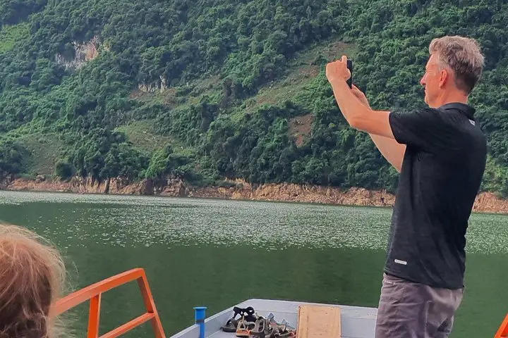
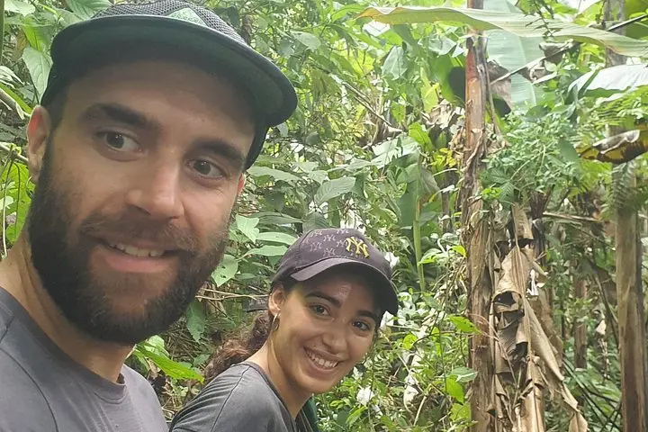
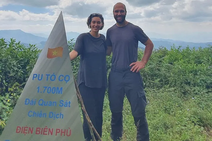
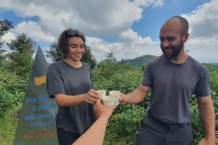
Dawn breaks cold and bright over the Muong Thanh basin as a jeep climbs toward Ban Kha and the trailhead. You step out into thin mountain air, the path folding upward through mixed pine and broadleaf forest; the silence is punctuated by distant birdcalls and the crunch of decades-old trails once used for wartime observation.
Dawn breaks cold and bright over the Muong Thanh basin as a jeep climbs toward Ban Kha and the trailhead. You step out into thin mountain air, the path folding upward through mixed pine and broadleaf forest; the silence is punctuated by distant birdcalls and the crunch of decades-old trails once used for wartime observation.
This one-day trek follows routes tied to the 1954 Dien Bien Phu Campaign. Pu To Co Peak (approx. 1,700 m) served as an observation post; from the summit you get a strategic vantage across the valley where the decisive battle unfolded. Geologically the slopes are the product of uplift and erosion—steep ridgelines, terraced valleys, and river-cut benches that frame the region’s agricultural communities. Culturally, the area is home to Tai and Hmong villages; Ban Kha offers a straightforward homestay experience and local mountain cuisine.
Expect roughly three hours of steady ascent through uneven forest trails, and a 5.5 km descent that takes you back to the village—total outing about nine hours including transfers. The operator includes breakfast, lunch, bottled water, an English/Vietnamese guide, and jeep transfers from Dien Bien Phu city. Practical points: start early for clearer valley views, carry 1–2 liters of water, wear sturdy boots for root- and rock-strewn sections, and be prepared for sudden showers at higher elevation. The route is historically rich but physically real—trail markers are basic, footing changes quickly, and weather can close views within an hour. Arrive fit enough for a sustained uphill walk and leave room in your schedule to absorb the valley panoramas at the top.