THE ADVENTURE COLLECTIVE® · Independent discovery and booking for outdoor travel

Follow wartime trails to Pu To Co’s 1,700m summit on a day trek from Dien Bien Phu. This route blends military history, dense mountain forest, and sweeping valley views with local homestay culture.
Follow wartime trails to Pu To Co’s 1,700m summit on a day trek from Dien Bien Phu. This route blends military history, dense mountain forest, and sweeping valley views with local homestay culture.
Morning mist lifts from the Muong Thanh Valley as the jeep drops you at a narrow trailhead and the forest seems to lean forward, testing your resolve. Footsteps on packed earth, the guide’s stories in both Vietnamese and English — the route climbs through mixed broadleaf forest and bamboo corridors toward Pu To Co, where you can still feel the slope's strategic silence.
Verified experiences and guided adventures in the surrounding area.
Operated by Authentic Travel HOI AN · Dien Bien Phu, Dien Bien
Morning mist lifts from the Muong Thanh Valley as the jeep drops you at a narrow trailhead and the forest seems to lean forward, testing your resolve. Footsteps on packed earth, the guide’s stories in both Vietnamese and English — the route climbs through mixed broadleaf forest and bamboo corridors toward Pu To Co, where you can still feel the slope's strategic silence.
This ridge was an observation post during the 1954 Battle of Dien Bien Phu; the summit at roughly 1,700 meters offered commanders wide sightlines over the valley below. Geologically the range is part of the Hoang Lien system—steep, eroded ridgelines cut by small streams that swell in the rainy season. Local Thai and Hmong communities in nearby Ban Kha keep mountain agriculture and homestay traditions alive; expect simple, hearty meals and warm, practical hospitality.
Practically: the trek is a long day—about three hours of ascent through uneven, sometimes muddy trail and a descent of approximately 5.5 km back to the village. The route rewards effort with panoramic views of Muong Thanh Valley and the remains of wartime bunkers. Bring layered clothing for rapid temperature change, sturdy trail shoes, and at least 2 liters of water. Start early to avoid afternoon storms; the guide and jeep transfer handle logistics and local navigation. Pace yourself on the steeper sections, watch footing on loose rock, and take time at viewpoint ledges — the ridge will challenge you and then open up the valley as if to congratulate the climb.
Expect roughly three hours of uphill trekking to the summit and about 5.5 km on the descent; total outing including transfers runs about 10–11 hours.
Yes—an English and Vietnamese-speaking guide accompanies the group and a jeep handles transfers between Dien Bien Phu, homestay, and trailheads.
Breakfast and lunch are included, typically local mountain dishes served at the homestay; notify in advance for vegetarian meals.
Pu To Co reaches around 1,700 m; most travelers tolerate it without issue, but those with cardiovascular problems or pregnancy are advised not to join.
Authentic Travel HOI AN operates guided outdoor trips and adventures with an emphasis on safety, stewardship, and memorable experiences.
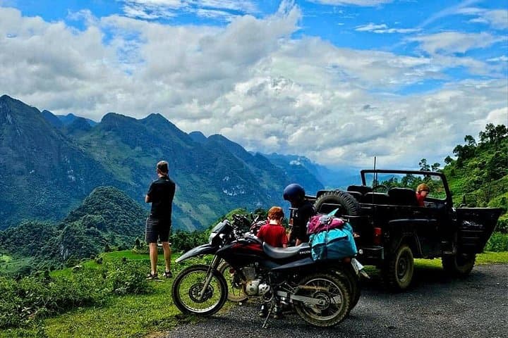
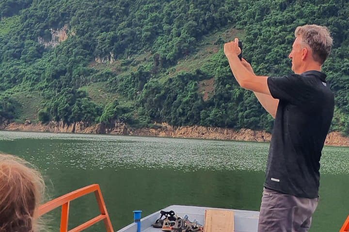
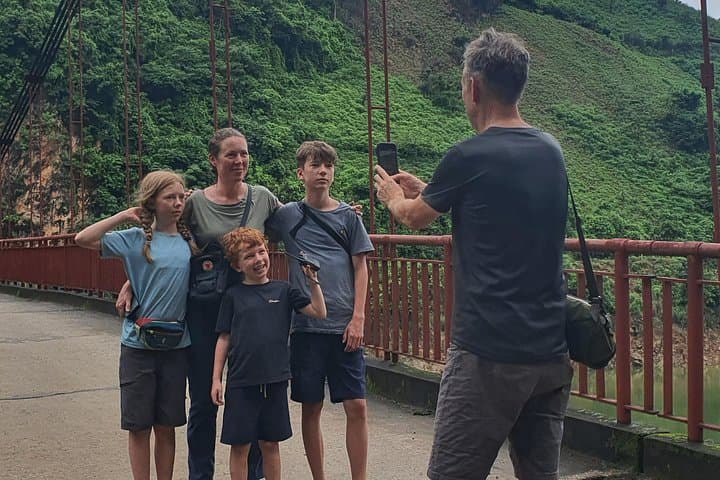
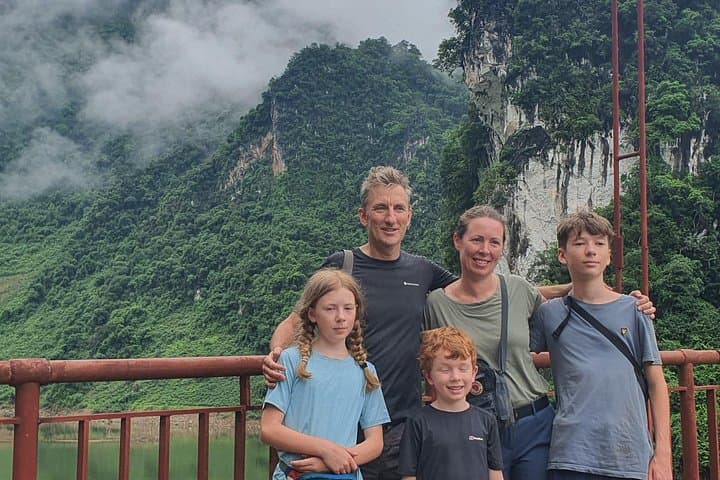
Morning mist lifts from the Muong Thanh Valley as the jeep drops you at a narrow trailhead and the forest seems to lean forward, testing your resolve. Footsteps on packed earth, the guide’s stories in both Vietnamese and English — the route climbs through mixed broadleaf forest and bamboo corridors toward Pu To Co, where you can still feel the slope's strategic silence.
Morning mist lifts from the Muong Thanh Valley as the jeep drops you at a narrow trailhead and the forest seems to lean forward, testing your resolve. Footsteps on packed earth, the guide’s stories in both Vietnamese and English — the route climbs through mixed broadleaf forest and bamboo corridors toward Pu To Co, where you can still feel the slope's strategic silence.
This ridge was an observation post during the 1954 Battle of Dien Bien Phu; the summit at roughly 1,700 meters offered commanders wide sightlines over the valley below. Geologically the range is part of the Hoang Lien system—steep, eroded ridgelines cut by small streams that swell in the rainy season. Local Thai and Hmong communities in nearby Ban Kha keep mountain agriculture and homestay traditions alive; expect simple, hearty meals and warm, practical hospitality.
Practically: the trek is a long day—about three hours of ascent through uneven, sometimes muddy trail and a descent of approximately 5.5 km back to the village. The route rewards effort with panoramic views of Muong Thanh Valley and the remains of wartime bunkers. Bring layered clothing for rapid temperature change, sturdy trail shoes, and at least 2 liters of water. Start early to avoid afternoon storms; the guide and jeep transfer handle logistics and local navigation. Pace yourself on the steeper sections, watch footing on loose rock, and take time at viewpoint ledges — the ridge will challenge you and then open up the valley as if to congratulate the climb.