THE ADVENTURE COLLECTIVE® · Independent discovery and booking for outdoor travel

A highland day trek from Quito to Quilotoa drops you onto the rim of a vivid crater lake and through traditional Andean villages. Expect strong sun, thin air at nearly 3,900 m, and 3–5 hours of walking on volcanic trails.
A highland day trek from Quito to Quilotoa drops you onto the rim of a vivid crater lake and through traditional Andean villages. Expect strong sun, thin air at nearly 3,900 m, and 3–5 hours of walking on volcanic trails.
The rim air is thin and cool as you step out of the van: a wide bowl of green water sits below, edges sheer and raw, while wind tugs at your jacket as if reminding you who holds the altitude here.
Verified experiences and guided adventures in the surrounding area.
Operated by Real Dreams Tour · Quilotoa, Cotopaxi Province
The rim air is thin and cool as you step out of the van: a wide bowl of green water sits below, edges sheer and raw, while wind tugs at your jacket as if reminding you who holds the altitude here.
Quilotoa is a collapsed volcanic caldera about 3 km across and roughly 270 m deep, its color driven by minerals and mountain light. The lake fills a crater formed by a major eruption roughly eight centuries ago; the surrounding slopes are a patchwork of small farms and villages where Kichwa-speaking communities keep traditional weaving and grazing practices alive.
Geology is visible at a glance — folded ash layers, steep crater walls, and scree where glaciers never reached. Culture threads into the landscape: market stalls in nearby Zumbahua, woven belts drying on fences, and century-old footpaths between hamlets that are still used for trade and livestock movement.
Practically, expect a day that blends driving with a 3–5 hour rim walk or descent to the waterline if you choose. The trail alternates compact volcanic grit, rocky steps, and exposed ridgelines; weather can flip quickly, and the sun is strong at 3,883 m. Bring water, layer for wind and cold, and give yourself time to breathe and acclimatize before exertion.
Photographers will find striking angles at dawn and late afternoon; hikers will appreciate the mix of short uphill sections and long panoramic stretches. Respect local routes, pack out trash, and allow extra time for stops in small villages — those conversations and roadside vistas are part of the loop’s draw.
Most guided visits include 3–5 hours of walking on the rim or a shorter rim loop; the full tour from Quito is typically an 8-hour day including transport.
Yes—Quilotoa sits near 3,883 m; travelers should acclimatize in Quito or Latacunga, hydrate, and avoid heavy exertion on arrival.
Yes—there are steep trails down into the crater; the descent is relatively quick but the return climb is strenuous and requires good fitness.
Private tours commonly include a guide and transport; hiring a local guide supports communities and improves route safety and interpretation.
Real Dreams Tour operates guided outdoor trips and adventures with an emphasis on safety, stewardship, and memorable experiences.
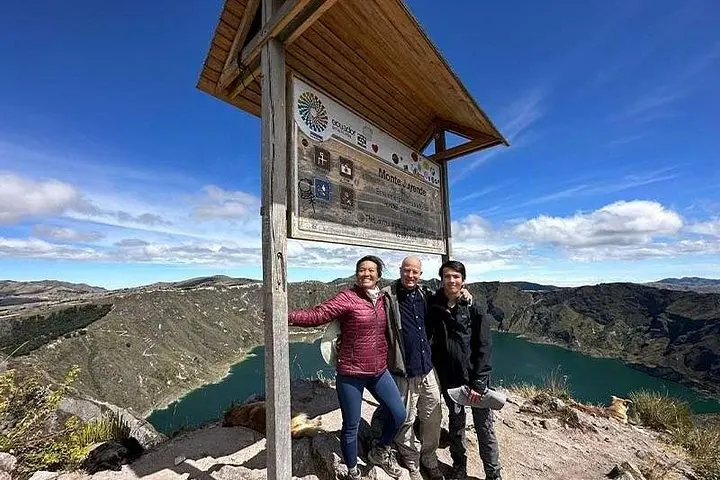
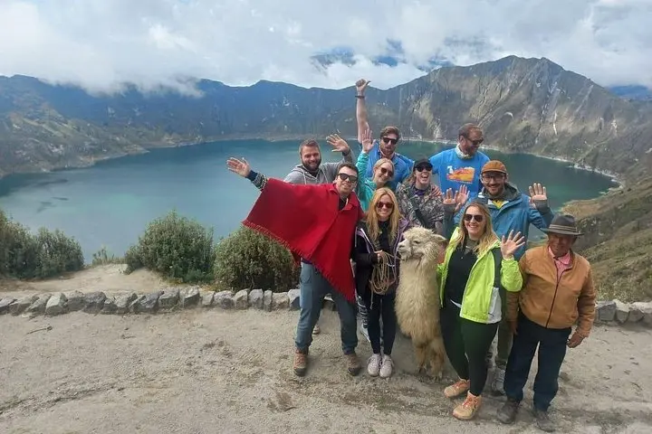
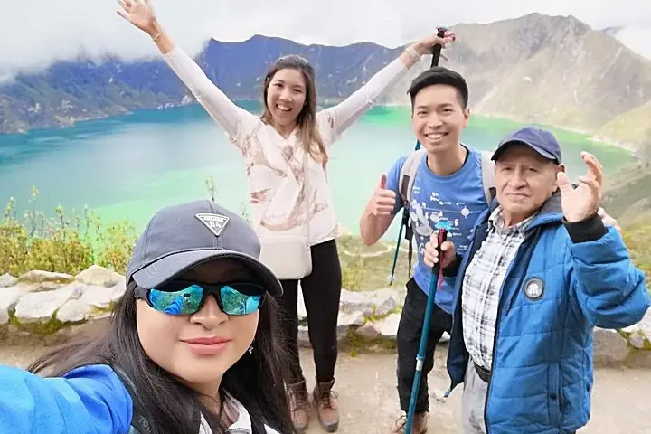
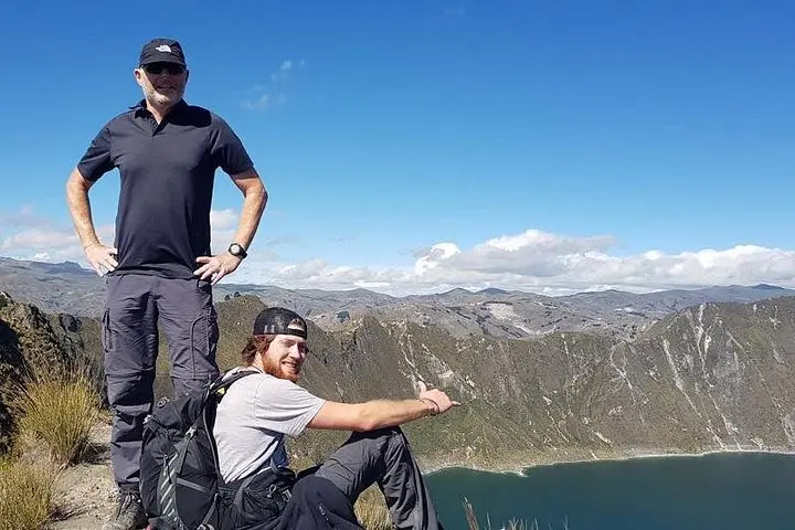
The rim air is thin and cool as you step out of the van: a wide bowl of green water sits below, edges sheer and raw, while wind tugs at your jacket as if reminding you who holds the altitude here.
The rim air is thin and cool as you step out of the van: a wide bowl of green water sits below, edges sheer and raw, while wind tugs at your jacket as if reminding you who holds the altitude here.
Quilotoa is a collapsed volcanic caldera about 3 km across and roughly 270 m deep, its color driven by minerals and mountain light. The lake fills a crater formed by a major eruption roughly eight centuries ago; the surrounding slopes are a patchwork of small farms and villages where Kichwa-speaking communities keep traditional weaving and grazing practices alive.
Geology is visible at a glance — folded ash layers, steep crater walls, and scree where glaciers never reached. Culture threads into the landscape: market stalls in nearby Zumbahua, woven belts drying on fences, and century-old footpaths between hamlets that are still used for trade and livestock movement.
Practically, expect a day that blends driving with a 3–5 hour rim walk or descent to the waterline if you choose. The trail alternates compact volcanic grit, rocky steps, and exposed ridgelines; weather can flip quickly, and the sun is strong at 3,883 m. Bring water, layer for wind and cold, and give yourself time to breathe and acclimatize before exertion.
Photographers will find striking angles at dawn and late afternoon; hikers will appreciate the mix of short uphill sections and long panoramic stretches. Respect local routes, pack out trash, and allow extra time for stops in small villages — those conversations and roadside vistas are part of the loop’s draw.