THE ADVENTURE COLLECTIVE® · Independent discovery and booking for outdoor travel

A three-day private circuit across the world’s largest salt flat that pairs mirror-like horizons with high-altitude lagoons, geysers, and volcanic panoramas. Practical, private, and flexible—this route is ideal for travelers who want photographic moments, flamingos, and remote Andean landscapes with local cultural stops.
A three-day private circuit across the world’s largest salt flat that pairs mirror-like horizons with high-altitude lagoons, geysers, and volcanic panoramas. Practical, private, and flexible—this route is ideal for travelers who want photographic moments, flamingos, and remote Andean landscapes with local cultural stops.
You step off the jeep and the world flips: sky and salt fuse into a single white mirror, a horizon that dares you to find an edge. Light slides across the surface; your shadow becomes a small island. On day one the salt flats dominate the scene—bleached crust, polygonal plates, and Isla Incahuasi’s giant cacti rising like old sentinels from the plain.
Verified experiences and guided adventures in the surrounding area.
Operated by Mapamundi Go · Uyuni, Potosí
You step off the jeep and the world flips: sky and salt fuse into a single white mirror, a horizon that dares you to find an edge. Light slides across the surface; your shadow becomes a small island. On day one the salt flats dominate the scene—bleached crust, polygonal plates, and Isla Incahuasi’s giant cacti rising like old sentinels from the plain.
The Salar is the remnant of prehistoric lakes (notably Lake Minchin) and sits at roughly 3,650 m. Its scale is geological shorthand for tectonics and evaporation: a thick salt crust above a brine that holds lithium and ancient fossils. Local Aymara and Quechua communities have harvested salt and carved artisanal pieces in Colchani for generations; the region’s sparse towns and train cemetery tell the story of Bolivia’s extractive past and frontier transport routes.
Over the next two days the landscape shifts to volcanic plateaus and colored lagoons—flamingos feed in Hedionda, geysers steam at dawn, and the Salvador Dalí–like rock fields near Licancabur press against the sky. Expect sharp temperature swings, strong sun, and thin air.
Practically: this private 3-day circuit is driven with short hikes and multiple stops, so pack layered clothing, strong sun protection, and water. Allow 24–48 hours to acclimatize in Uyuni or nearby towns and drink extra fluids. Bring cash for small purchases in villages and respect marked routes—vehicles follow fragile salt tracks and local regulations. With a flexible guide you’ll capture reflective salt flats at sunrise, flamingo flocks at midday, and steam vents at first light—three very different faces of the high Andes.
May–October (dry season) offers clearer skies and more stable driving conditions; shoulder seasons may have reflections after rain but can be wetter.
Uyuni sits around 3,650 m and some lagoons are higher; mild symptoms are common—rest, hydrate, and avoid alcohol before the tour; consult a doctor if you have heart issues.
Most itineraries include breakfasts, lunches and dinners as listed and shared hostel or refugio accommodation; private rooms are often available at an extra cost.
Drones are popular but check with your guide and local regulations; restricted areas may apply and respect wildlife and other visitors when flying.
Mapamundi Go operates guided outdoor trips and adventures with an emphasis on safety, stewardship, and memorable experiences.
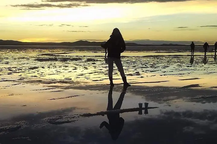
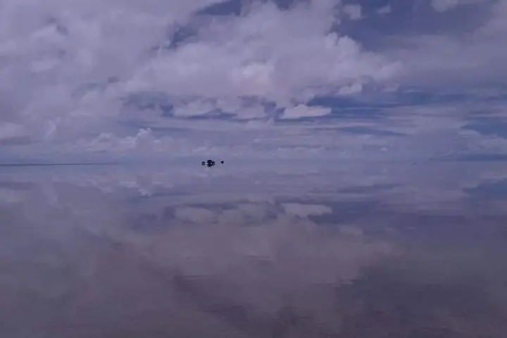
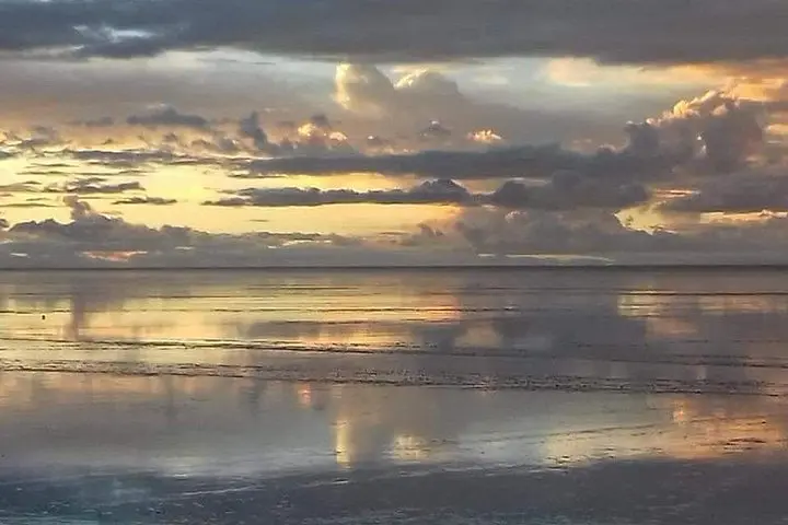
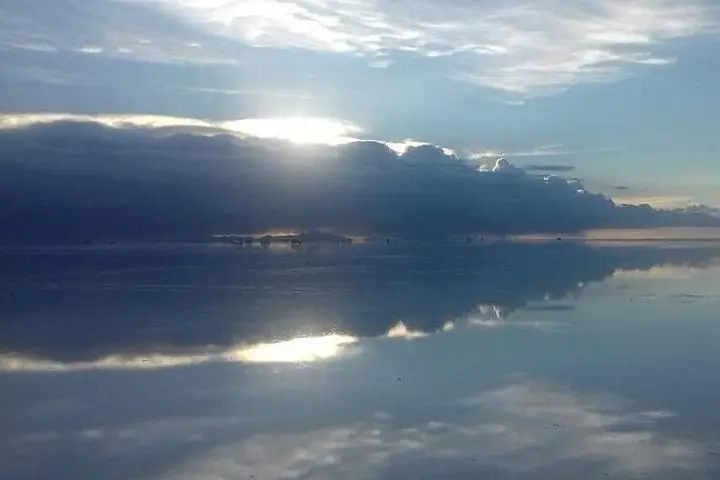
You step off the jeep and the world flips: sky and salt fuse into a single white mirror, a horizon that dares you to find an edge. Light slides across the surface; your shadow becomes a small island. On day one the salt flats dominate the scene—bleached crust, polygonal plates, and Isla Incahuasi’s giant cacti rising like old sentinels from the plain.
You step off the jeep and the world flips: sky and salt fuse into a single white mirror, a horizon that dares you to find an edge. Light slides across the surface; your shadow becomes a small island. On day one the salt flats dominate the scene—bleached crust, polygonal plates, and Isla Incahuasi’s giant cacti rising like old sentinels from the plain.
The Salar is the remnant of prehistoric lakes (notably Lake Minchin) and sits at roughly 3,650 m. Its scale is geological shorthand for tectonics and evaporation: a thick salt crust above a brine that holds lithium and ancient fossils. Local Aymara and Quechua communities have harvested salt and carved artisanal pieces in Colchani for generations; the region’s sparse towns and train cemetery tell the story of Bolivia’s extractive past and frontier transport routes.
Over the next two days the landscape shifts to volcanic plateaus and colored lagoons—flamingos feed in Hedionda, geysers steam at dawn, and the Salvador Dalí–like rock fields near Licancabur press against the sky. Expect sharp temperature swings, strong sun, and thin air.
Practically: this private 3-day circuit is driven with short hikes and multiple stops, so pack layered clothing, strong sun protection, and water. Allow 24–48 hours to acclimatize in Uyuni or nearby towns and drink extra fluids. Bring cash for small purchases in villages and respect marked routes—vehicles follow fragile salt tracks and local regulations. With a flexible guide you’ll capture reflective salt flats at sunrise, flamingo flocks at midday, and steam vents at first light—three very different faces of the high Andes.