THE ADVENTURE COLLECTIVE® · Independent discovery and booking for outdoor travel

A single-day trek from Sapa into Lao Chai and Ta Van threads terraces, waterfalls and village life into a compact mountain walk. Expect 4–7 hours of variable terrain, cultural encounters with Hmong and Giay villagers, and iconic Muong Hoa Valley views.
A single-day trek from Sapa into Lao Chai and Ta Van threads terraces, waterfalls and village life into a compact mountain walk. Expect 4–7 hours of variable terrain, cultural encounters with Hmong and Giay villagers, and iconic Muong Hoa Valley views.
Fog lifts off the valley as you step away from Sapa’s clustered streets and onto a trail that runs terrace-edge like a ribbon. Early light paints the rice paddies a thousand greens while local children tend water channels that seem to challenge the slope itself. The trail drops into Lao Chai, climbs to Ta Van and passes a small waterfall where the air cools and the sound moves you forward.
Verified experiences and guided adventures in the surrounding area.
Operated by Vietnam Real Tour · Sapa, Lao Cai
Fog lifts off the valley as you step away from Sapa’s clustered streets and onto a trail that runs terrace-edge like a ribbon. Early light paints the rice paddies a thousand greens while local children tend water channels that seem to challenge the slope itself. The trail drops into Lao Chai, climbs to Ta Van and passes a small waterfall where the air cools and the sound moves you forward.
This region sits in the Hoang Lien Range, where young tectonics and steep rainfall carved the Muong Hoa Valley and forced rice terraces into the hillsides. Hmong and Giay communities have farmed these slopes for generations; their timber-frame houses and indigo textiles reflect practical responses to climate and altitude rather than decoration alone. Expect conversations about planting cycles, traditional weaving, and the rhythms of a mountain farming year.
On-trail geology is simple: packed earth, stone steps and narrow ledges shaped by irrigation and foot traffic. Vegetation shifts from terraced paddies to bamboo stands and small oak groves; seasonality changes the palette from neon rice shoots in spring to golden harvests in autumn.
Practical guidance: bring grippy footwear for wet terraces, a light rain layer, and cash for small purchases and tips. The full loop runs roughly 6–10 km over 4–7 hours on uneven terrain with some steep sections; water refills are limited, so carry at least 1.5 L. Start early to avoid midday heat and to catch the clearest valley views. Respect private land, accept invitations to visit homes with humility, and leave no trace to keep these paths open for local life.
The tour runs about 4–7 hours (roughly 6–10 km total) with uneven paths and some steep sections—rated moderate but accessible to most fit travelers.
Yes—lunch at a local restaurant and shuttle transfer back to Sapa town, plus hotel pick-up/drop-off, are included.
Sapa sits around 1,500 m—most visitors acclimatize quickly, but take it easy if you’re sensitive to altitude and stay hydrated.
Not recommended for travelers with spinal, severe cardiovascular issues, or pregnancy due to uneven terrain and limited medical access.
Vietnam Real Tour operates guided outdoor trips and adventures with an emphasis on safety, stewardship, and memorable experiences.
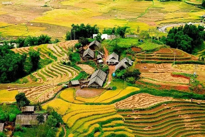
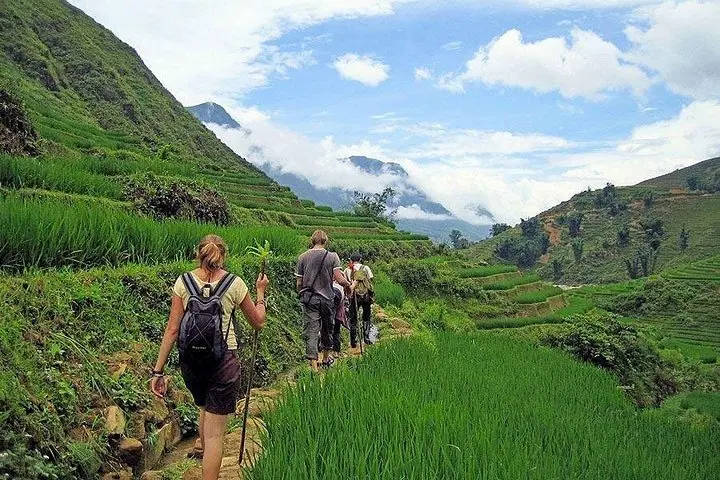
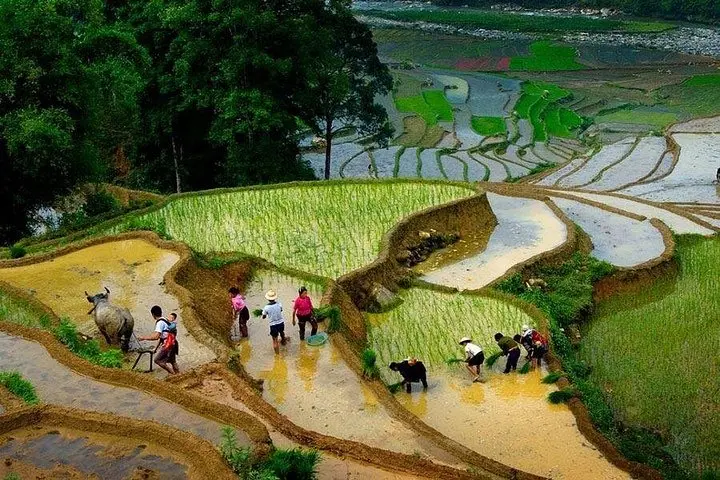
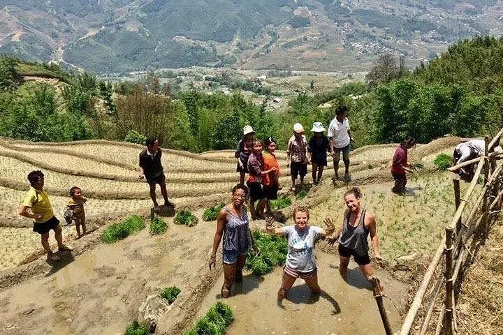
Fog lifts off the valley as you step away from Sapa’s clustered streets and onto a trail that runs terrace-edge like a ribbon. Early light paints the rice paddies a thousand greens while local children tend water channels that seem to challenge the slope itself. The trail drops into Lao Chai, climbs to Ta Van and passes a small waterfall where the air cools and the sound moves you forward.
Fog lifts off the valley as you step away from Sapa’s clustered streets and onto a trail that runs terrace-edge like a ribbon. Early light paints the rice paddies a thousand greens while local children tend water channels that seem to challenge the slope itself. The trail drops into Lao Chai, climbs to Ta Van and passes a small waterfall where the air cools and the sound moves you forward.
This region sits in the Hoang Lien Range, where young tectonics and steep rainfall carved the Muong Hoa Valley and forced rice terraces into the hillsides. Hmong and Giay communities have farmed these slopes for generations; their timber-frame houses and indigo textiles reflect practical responses to climate and altitude rather than decoration alone. Expect conversations about planting cycles, traditional weaving, and the rhythms of a mountain farming year.
On-trail geology is simple: packed earth, stone steps and narrow ledges shaped by irrigation and foot traffic. Vegetation shifts from terraced paddies to bamboo stands and small oak groves; seasonality changes the palette from neon rice shoots in spring to golden harvests in autumn.
Practical guidance: bring grippy footwear for wet terraces, a light rain layer, and cash for small purchases and tips. The full loop runs roughly 6–10 km over 4–7 hours on uneven terrain with some steep sections; water refills are limited, so carry at least 1.5 L. Start early to avoid midday heat and to catch the clearest valley views. Respect private land, accept invitations to visit homes with humility, and leave no trace to keep these paths open for local life.