THE ADVENTURE COLLECTIVE® · Independent discovery and booking for outdoor travel

Two days of village trails, terraced rice fields and homestay nights in Muong Hoa valley. Follow viewpoints, waterfall groves and minority villages for a concise cultural trek from Sapa.
Two days of village trails, terraced rice fields and homestay nights in Muong Hoa valley. Follow viewpoints, waterfall groves and minority villages for a concise cultural trek from Sapa.
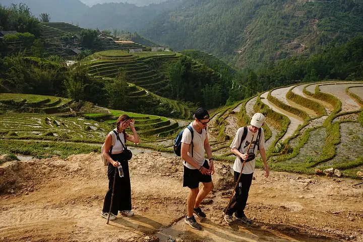
Dawn pulls a low band of cloud through Sa Seng and the terraces below glow like brushed metal. You push up a narrow trail for about 1.5 km, breath routing the climb, and the valley opens: rice shelves carving the hills, a silver line of the Muong Hoa stream daring you to follow it downstream.
Verified experiences and guided adventures in the surrounding area.
Operated by Saparis Horizon Travel · Sapa, Lao Cai
Dawn pulls a low band of cloud through Sa Seng and the terraces below glow like brushed metal. You push up a narrow trail for about 1.5 km, breath routing the climb, and the valley opens: rice shelves carving the hills, a silver line of the Muong Hoa stream daring you to follow it downstream.
Geology here is recent fold-and-erosion — steep shale and limestone slopes shaped by monsoon torrents — and the terraces are human geology, re-sculpted across generations by Black H'Mong, Red Dao and Giay farmers. Sapa itself began as a French hill station in the early 1900s; the trail network that now links villages developed from those old connector paths.
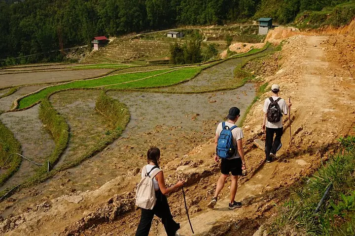
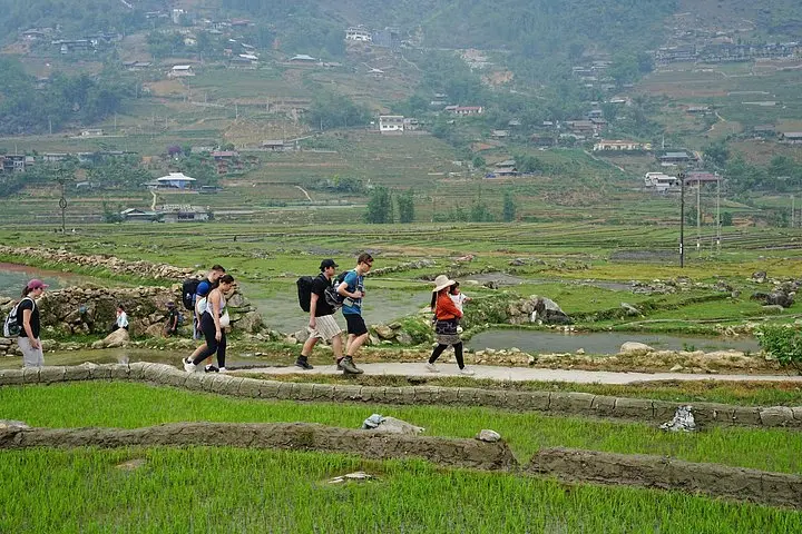
On this two-day loop you’ll move village to village: Sa Seng viewpoints, Hang Da’s wooden houses, a homestay night in Su Pan, then bamboo groves, waterfalls and the Giang Ta Chai — Ta Van — Lao Chai chain back toward Sapa. Expect roughly 12–15 km of walking over varied terrain (dirt tracks, stone steps, river crossings) with cumulative elevation change around 500–800 m; trails tighten after rain and stone can be slippery.
Practical edge: bring layered clothing for sharp valley mornings and hot midday sun, carry cash for small purchases and tips, and plan for simple homestay meals and early nights. Respect local customs — ask before photographing people — and leave no trace: the terraces survive because communities steward them.
This trek pairs clear, panoramic viewing with intimate cultural exchange: a practical, sensory route through one of northern Vietnam’s most compelling upland landscapes.
Expect about 5–8 km of walking on day one with a 1.5 km climb to Sa Seng, and 7–10 km on day two through Giang Ta Chai, Ta Van and Lao Chai; total walking time is typically 4–6 hours per day.
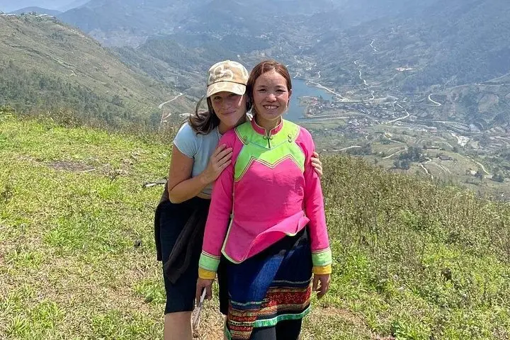
You’ll stay in a local H'Mong homestay — simple, family-run rooms with shared facilities and local meals; bring modest comforts like a small towel and personal toiletries.
The route is rated moderate; it’s suitable for those in steady physical condition but not recommended for travelers with serious back, heart, or pregnancy-related restrictions.
Bring Vietnamese đồng in small denominations — card facilities are rare in villages and many homestays and local eateries accept cash only.
Saparis Horizon Travel operates guided outdoor trips and adventures with an emphasis on safety, stewardship, and memorable experiences.
Dawn pulls a low band of cloud through Sa Seng and the terraces below glow like brushed metal. You push up a narrow trail for about 1.5 km, breath routing the climb, and the valley opens: rice shelves carving the hills, a silver line of the Muong Hoa stream daring you to follow it downstream.
Dawn pulls a low band of cloud through Sa Seng and the terraces below glow like brushed metal. You push up a narrow trail for about 1.5 km, breath routing the climb, and the valley opens: rice shelves carving the hills, a silver line of the Muong Hoa stream daring you to follow it downstream.
Geology here is recent fold-and-erosion — steep shale and limestone slopes shaped by monsoon torrents — and the terraces are human geology, re-sculpted across generations by Black H'Mong, Red Dao and Giay farmers. Sapa itself began as a French hill station in the early 1900s; the trail network that now links villages developed from those old connector paths.
On this two-day loop you’ll move village to village: Sa Seng viewpoints, Hang Da’s wooden houses, a homestay night in Su Pan, then bamboo groves, waterfalls and the Giang Ta Chai — Ta Van — Lao Chai chain back toward Sapa. Expect roughly 12–15 km of walking over varied terrain (dirt tracks, stone steps, river crossings) with cumulative elevation change around 500–800 m; trails tighten after rain and stone can be slippery.
Practical edge: bring layered clothing for sharp valley mornings and hot midday sun, carry cash for small purchases and tips, and plan for simple homestay meals and early nights. Respect local customs — ask before photographing people — and leave no trace: the terraces survive because communities steward them.
This trek pairs clear, panoramic viewing with intimate cultural exchange: a practical, sensory route through one of northern Vietnam’s most compelling upland landscapes.