THE ADVENTURE COLLECTIVE® · Independent discovery and booking for outdoor travel

Walk from Sapa into the Muong Hoa valley, following stone steps and ridgeline paths through Y Linh Ho, Lao Chai and Ta Van. This 4–6 hour trek highlights terraced rice fields, village life, and mountain views with a local family lunch included.
Walk from Sapa into the Muong Hoa valley, following stone steps and ridgeline paths through Y Linh Ho, Lao Chai and Ta Van. This 4–6 hour trek highlights terraced rice fields, village life, and mountain views with a local family lunch included.
A cool mountain wind pushes across the Muong Hoa valley as you step off the road and onto a narrow, worn path cutting between green rice beds. Early light sketches the contours of terraced paddies while the jagged silhouette of Fansipan watches from behind the clouds. The trail drops at first—stone steps and packed earth—then weaves along ridgelines between H’Mong and Dao villages where stilt houses and woven silver hang in the sun.
Verified experiences and guided adventures in the surrounding area.
Operated by Local Tours ASIA · Sapa, Lao Cai
A cool mountain wind pushes across the Muong Hoa valley as you step off the road and onto a narrow, worn path cutting between green rice beds. Early light sketches the contours of terraced paddies while the jagged silhouette of Fansipan watches from behind the clouds. The trail drops at first—stone steps and packed earth—then weaves along ridgelines between H’Mong and Dao villages where stilt houses and woven silver hang in the sun.
The route follows routes used for generations: paths that connect highland communities and irrigated terraces carved into the volcanic slopes. French colonial history looms in Sapa town’s architecture and the road, but the trail’s real story is agricultural — centuries of terrace construction and seasonal rice cycles that shape local life. Geologically, the valley is a folded, steep landscape of metamorphic rock that channels streams and supports narrow shelf-like fields.
Practical notes: expect 12–14 km of walking over 4–6 hours, with roughly 200–400 m of cumulative elevation change. Trails range from compact dirt to wet stone steps; boots with grip and a light rain layer are essential in the shoulder months. The tour includes a local-family lunch and return transfer, so plan to carry only day essentials. Be respectful: ask before photographing homes, use small bills for purchases and tips, and keep waste packed out.
Start early to catch clearer views and avoid afternoon showers. Move steadily, drink often, and let the valley’s rhythm set your pace—farmers will be working, children waving, and the terraces will reward patient eyes with wide, living geometry.
The typical route is about 12–14 km over 4–6 hours with rolling terrain and 200–400 m cumulative elevation change; it’s moderate in difficulty and requires a steady pace.
Yes — the tour includes a local family lunch in one of the villages and return transfer to Sapa by car.
Travelers should have moderate fitness; children and older adults can join if comfortable walking uneven paths for several hours—check mobility and stamina first.
Facilities in villages are basic; bring hand sanitizer and small change for pay-per-use toilets where available.
Local Tours ASIA operates guided outdoor trips and adventures with an emphasis on safety, stewardship, and memorable experiences.
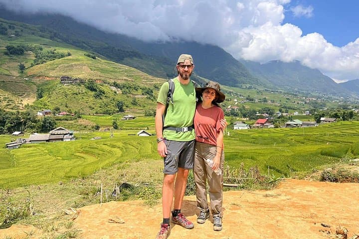
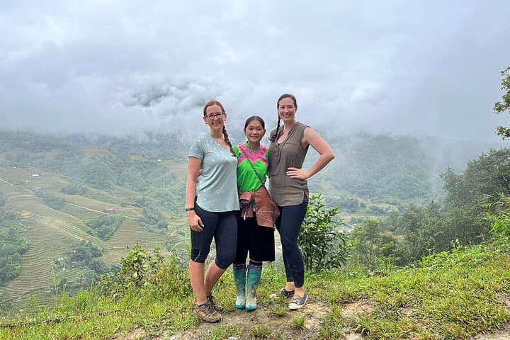

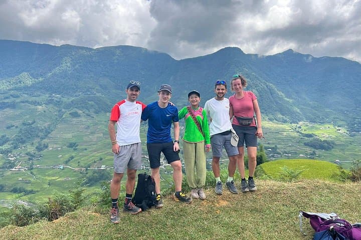
A cool mountain wind pushes across the Muong Hoa valley as you step off the road and onto a narrow, worn path cutting between green rice beds. Early light sketches the contours of terraced paddies while the jagged silhouette of Fansipan watches from behind the clouds. The trail drops at first—stone steps and packed earth—then weaves along ridgelines between H’Mong and Dao villages where stilt houses and woven silver hang in the sun.
A cool mountain wind pushes across the Muong Hoa valley as you step off the road and onto a narrow, worn path cutting between green rice beds. Early light sketches the contours of terraced paddies while the jagged silhouette of Fansipan watches from behind the clouds. The trail drops at first—stone steps and packed earth—then weaves along ridgelines between H’Mong and Dao villages where stilt houses and woven silver hang in the sun.
The route follows routes used for generations: paths that connect highland communities and irrigated terraces carved into the volcanic slopes. French colonial history looms in Sapa town’s architecture and the road, but the trail’s real story is agricultural — centuries of terrace construction and seasonal rice cycles that shape local life. Geologically, the valley is a folded, steep landscape of metamorphic rock that channels streams and supports narrow shelf-like fields.
Practical notes: expect 12–14 km of walking over 4–6 hours, with roughly 200–400 m of cumulative elevation change. Trails range from compact dirt to wet stone steps; boots with grip and a light rain layer are essential in the shoulder months. The tour includes a local-family lunch and return transfer, so plan to carry only day essentials. Be respectful: ask before photographing homes, use small bills for purchases and tips, and keep waste packed out.
Start early to catch clearer views and avoid afternoon showers. Move steadily, drink often, and let the valley’s rhythm set your pace—farmers will be working, children waving, and the terraces will reward patient eyes with wide, living geometry.