THE ADVENTURE COLLECTIVE® · Independent discovery and booking for outdoor travel

Walk Akita City at your own pace with a GPS-guided mobile game that combines samurai history, Tadao Ando architecture, and a chance to try Inaniwa udon. Perfect for families and dog-lovers, the route takes 1–2 hours across mostly flat, paved terrain.
Walk Akita City at your own pace with a GPS-guided mobile game that combines samurai history, Tadao Ando architecture, and a chance to try Inaniwa udon. Perfect for families and dog-lovers, the route takes 1–2 hours across mostly flat, paved terrain.
You step through Senshū Park’s gate and the city exhales around you—stone lanterns, a low castle turret, and a moat that glints like a slow ribbon. The app’s animated Hachiko nudges you toward the turret, then down a tree-lined path where cherry branches dare you to slow your pace and look up.
Verified experiences and guided adventures in the surrounding area.
Operated by Leplace - interactive self-guided app tours · Akita, Akita Prefecture
You step through Senshū Park’s gate and the city exhales around you—stone lanterns, a low castle turret, and a moat that glints like a slow ribbon. The app’s animated Hachiko nudges you toward the turret, then down a tree-lined path where cherry branches dare you to slow your pace and look up.
This self-guided GPS walking game threads Akita’s compact historic core: Kubota Castle grounds (Satake clan), the Osumiyagura lookout, Tadao Ando’s Akita Museum of Art, and a century-old Inaniwa udon shop. Geologically the city sits on a gentle coastal plain, so the route is flat and urban—paved promenades, stone bridges and small parks rather than steep climbs. Culturally, the experience mixes samurai-era exhibits with modern art and the region’s pride—the Akita Inu—whose loyalty and local lore punctuate the tour.
Expect 60–120 minutes of exploration, roughly 2–4 km with minimal elevation gain (under ~50 m). The app layers puzzle stops, local history notes and food tips so you can linger at a museum or dash to taste authentic udon at Sato Yosuke (est. 1860).
Practical edge: install the app and a map offline, bring a power bank, wear cushioned shoes, and check museum opening times. Public transport links are nearby if you want to start or finish at Akita Station. The route is family-friendly and low-stress, but stay aware of traffic on narrow streets and be respectful when meeting dogs or entering quiet historic sites.
The app-guided route takes about 60–120 minutes depending on stops; expect roughly 2–4 km of mostly flat walking.
The tour points out attractions but admission is typically not included; check individual museum hours and entry fees before visiting.
The itinerary includes spots known for Akita Inu appearances, but dog availability varies—treat any encounters as informal and ask owners before approaching.
Yes—Akita Station and local bus routes are close to Senshū Park, so you can start or end the tour easily by public transit.
Leplace - interactive self-guided app tours operates guided outdoor trips and adventures with an emphasis on safety, stewardship, and memorable experiences.
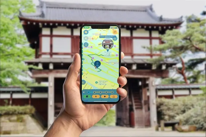

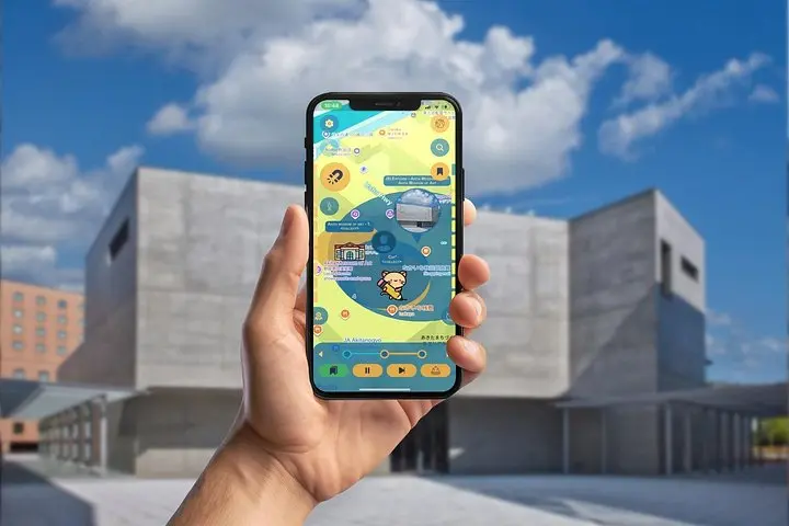
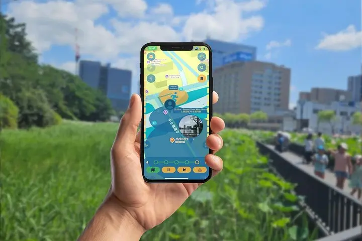
You step through Senshū Park’s gate and the city exhales around you—stone lanterns, a low castle turret, and a moat that glints like a slow ribbon. The app’s animated Hachiko nudges you toward the turret, then down a tree-lined path where cherry branches dare you to slow your pace and look up.
You step through Senshū Park’s gate and the city exhales around you—stone lanterns, a low castle turret, and a moat that glints like a slow ribbon. The app’s animated Hachiko nudges you toward the turret, then down a tree-lined path where cherry branches dare you to slow your pace and look up.
This self-guided GPS walking game threads Akita’s compact historic core: Kubota Castle grounds (Satake clan), the Osumiyagura lookout, Tadao Ando’s Akita Museum of Art, and a century-old Inaniwa udon shop. Geologically the city sits on a gentle coastal plain, so the route is flat and urban—paved promenades, stone bridges and small parks rather than steep climbs. Culturally, the experience mixes samurai-era exhibits with modern art and the region’s pride—the Akita Inu—whose loyalty and local lore punctuate the tour.
Expect 60–120 minutes of exploration, roughly 2–4 km with minimal elevation gain (under ~50 m). The app layers puzzle stops, local history notes and food tips so you can linger at a museum or dash to taste authentic udon at Sato Yosuke (est. 1860).
Practical edge: install the app and a map offline, bring a power bank, wear cushioned shoes, and check museum opening times. Public transport links are nearby if you want to start or finish at Akita Station. The route is family-friendly and low-stress, but stay aware of traffic on narrow streets and be respectful when meeting dogs or entering quiet historic sites.