THE ADVENTURE COLLECTIVE® · Independent discovery and booking for outdoor travel

Drive a 66‑mile loop through the Black Hills with a GPS‑triggered audio guide that narrates geology, history and roadside lore. Start in Rapid City and follow Needles Highway, Iron Mountain Road, Sylvan Lake and Mount Rushmore at your own pace.
Drive a 66‑mile loop through the Black Hills with a GPS‑triggered audio guide that narrates geology, history and roadside lore. Start in Rapid City and follow Needles Highway, Iron Mountain Road, Sylvan Lake and Mount Rushmore at your own pace.
You pull out of Rapid City onto US‑16 and the pines close in, the road peeling away into granite ribs and needle-like spires. The audio guide nudges you to slow for a tunnel; the map cues a pullout with a view—the landscape feels not just seen but spoken to, with history and rock vying for your attention.
Verified experiences and guided adventures in the surrounding area.
Operated by Travel with Action · Rapid City, South Dakota
You pull out of Rapid City onto US‑16 and the pines close in, the road peeling away into granite ribs and needle-like spires. The audio guide nudges you to slow for a tunnel; the map cues a pullout with a view—the landscape feels not just seen but spoken to, with history and rock vying for your attention.
This loop stitches together American history and tough geology: Mount Rushmore’s carved faces (1927–1941), the still-evolving Crazy Horse Memorial, and the Needles’ granite fins hewn by wind and ice over millions of years. Custer State Park’s rolling prairies and lodgepole pines host relics of 19th-century expeditions, Sioux treaty histories, and the 1988 Galena Fire scars you can still read from the roadside.
Along the way expect pigtail bridges, single‑lane tunnels on Iron Mountain Road, and roadside stops like Sylvan Lake and viewpoints over the Black Hills basin. The audio app times stories to GPS locations so you can step out for a short walk or for photos, then hop back in and let the narrator take over.
Practical edge: download the Action Tour Guide app and the tour while on Wi‑Fi, use a regular‑sized vehicle (large RVs struggle in tunnels), and leave time for short hikes and park fees at some attractions. Carry water, snacks, and a charged phone with an in‑car audio connection. The drive is roughly 66 miles and 2–3 hours of moving time; treat it as a day of stops and easy walks rather than a nonstop slog.
Download the Action Tour Guide app, enter the 8‑digit password sent to your email/text, and download the tour while you have Wi‑Fi or a cellular signal; the tour works offline afterward.
No; attraction and park entrance fees are separate—purchase those tickets or permits directly from the park or site operators.
Large RVs and trailers may not fit through the low, narrow tunnels on Needles Highway and Iron Mountain Road; use a regular vehicle or plan alternate routes if you have an oversized vehicle.
The loop is roughly 66 miles and typically 2–3 hours driving time; the app lets you pause, restart, or repeat sections so you can explore side trails at your leisure.
Travel with Action operates guided outdoor trips and adventures with an emphasis on safety, stewardship, and memorable experiences.
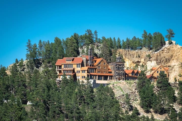
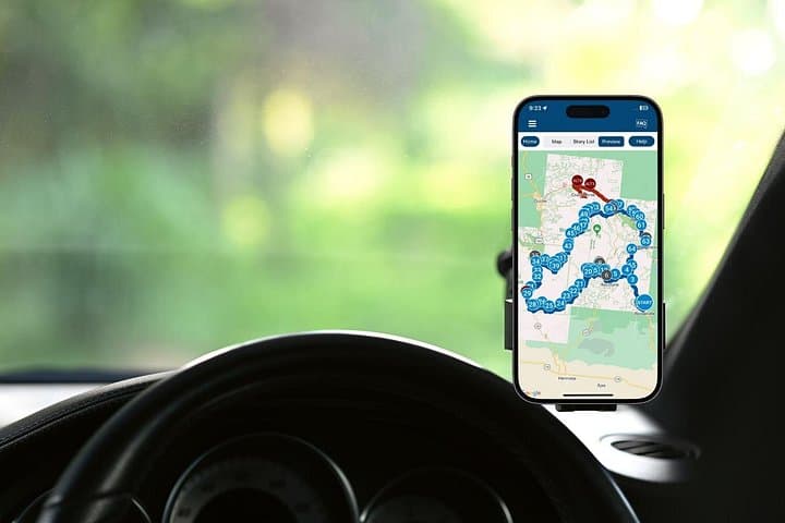

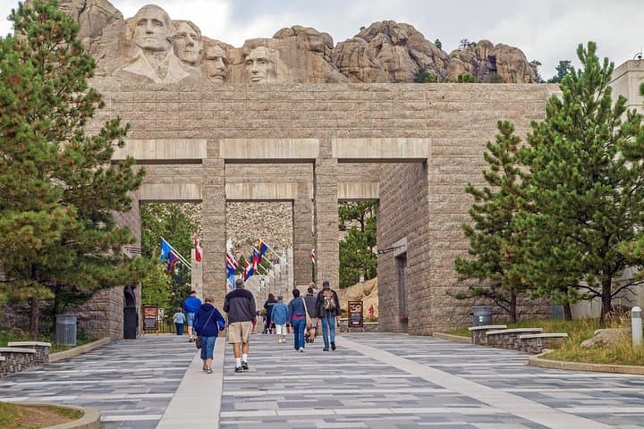
You pull out of Rapid City onto US‑16 and the pines close in, the road peeling away into granite ribs and needle-like spires. The audio guide nudges you to slow for a tunnel; the map cues a pullout with a view—the landscape feels not just seen but spoken to, with history and rock vying for your attention.
You pull out of Rapid City onto US‑16 and the pines close in, the road peeling away into granite ribs and needle-like spires. The audio guide nudges you to slow for a tunnel; the map cues a pullout with a view—the landscape feels not just seen but spoken to, with history and rock vying for your attention.
This loop stitches together American history and tough geology: Mount Rushmore’s carved faces (1927–1941), the still-evolving Crazy Horse Memorial, and the Needles’ granite fins hewn by wind and ice over millions of years. Custer State Park’s rolling prairies and lodgepole pines host relics of 19th-century expeditions, Sioux treaty histories, and the 1988 Galena Fire scars you can still read from the roadside.
Along the way expect pigtail bridges, single‑lane tunnels on Iron Mountain Road, and roadside stops like Sylvan Lake and viewpoints over the Black Hills basin. The audio app times stories to GPS locations so you can step out for a short walk or for photos, then hop back in and let the narrator take over.
Practical edge: download the Action Tour Guide app and the tour while on Wi‑Fi, use a regular‑sized vehicle (large RVs struggle in tunnels), and leave time for short hikes and park fees at some attractions. Carry water, snacks, and a charged phone with an in‑car audio connection. The drive is roughly 66 miles and 2–3 hours of moving time; treat it as a day of stops and easy walks rather than a nonstop slog.