THE ADVENTURE COLLECTIVE® · Independent discovery and booking for outdoor travel

Ride or walk from Fisherman’s Wharf to Sausalito with a geo-guided app that highlights history, film locations, and photo viewpoints. Ideal for independent explorers who want route flexibility and practical local tips.
Ride or walk from Fisherman’s Wharf to Sausalito with a geo-guided app that highlights history, film locations, and photo viewpoints. Ideal for independent explorers who want route flexibility and practical local tips.
You stand at the edge of Fisherman's Wharf with salt wind working at your jacket and the bridge's orange span cutting across a fog-swept bay. The app routes you past maritime piers, through parkland, and up to vantage points where the bridge looms and the Pacific dares you outward.
Verified experiences and guided adventures in the surrounding area.
Operated by Unlimited Biking · San Francisco, California
You stand at the edge of Fisherman's Wharf with salt wind working at your jacket and the bridge's orange span cutting across a fog-swept bay. The app routes you past maritime piers, through parkland, and up to vantage points where the bridge looms and the Pacific dares you outward.
This route traces layers of San Francisco history: Gold Rush commerce at the waterfront, the military emplacements of the Presidio, and the engineering gamble that built the Golden Gate in 1937. Geology is plain here—sandstone bluffs, wind-polished headlands, and tidal channels that sculpt the shoreline and influence the fog that often cloaks the span.
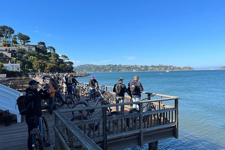
Culture appears in cable-car chatter, fishermen mending lines, and Sausalito’s houseboat community across the sound. Local insights: start early for softer light and lighter crowds, follow the app’s color-coded stops to pick film locations and photo viewpoints, and use the ferry if you want a relaxed return.
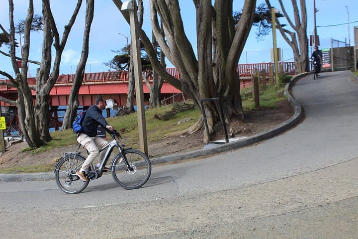
Practical guidance: the app is optimized for bike travel—expect paved multi-use paths, moderate grades up from the waterfront, and sections with cyclist and pedestrian traffic. Bring layers for wind and fog, a charged phone for the geo-guided content, and a simple repair kit if you rent a bike. Restrooms and food options are flagged in the app.
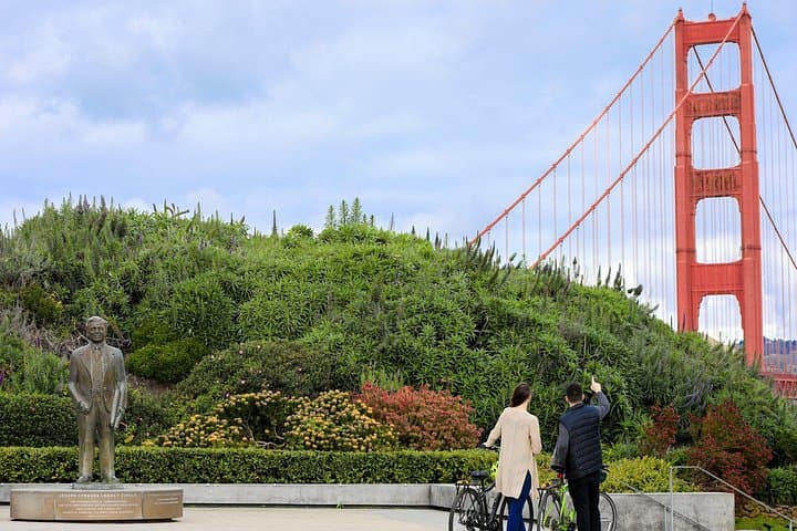
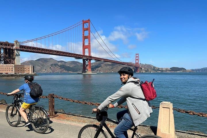
Pace this as a self-guided exploration rather than a race: linger at Fort Point for a ground-level view of the bridge, ride the crest for sweeping panoramas, and finish in Sausalito or ferry back across the bay. With prepared gear and a flexible schedule, this is an accessible, memorable urban coastal ride.
No—walking works, but the app’s pacing and stop distribution are optimized for biking; Unlimited Biking can rent bikes separately.
The recommended start is Unlimited Biking at 757 Beach Street near Fisherman’s Wharf; the app route ends in Sausalito, with ferry options back to San Francisco.
Yes—paths are stroller accessible in many sections, but some bridge approaches and viewing areas have stairs or narrow sections to navigate.
The app requires location services to trigger stops; download any offline audio if the app offers it and ensure your device has sufficient battery.
Unlimited Biking operates guided outdoor trips and adventures with an emphasis on safety, stewardship, and memorable experiences.
You stand at the edge of Fisherman's Wharf with salt wind working at your jacket and the bridge's orange span cutting across a fog-swept bay. The app routes you past maritime piers, through parkland, and up to vantage points where the bridge looms and the Pacific dares you outward.
You stand at the edge of Fisherman's Wharf with salt wind working at your jacket and the bridge's orange span cutting across a fog-swept bay. The app routes you past maritime piers, through parkland, and up to vantage points where the bridge looms and the Pacific dares you outward.
This route traces layers of San Francisco history: Gold Rush commerce at the waterfront, the military emplacements of the Presidio, and the engineering gamble that built the Golden Gate in 1937. Geology is plain here—sandstone bluffs, wind-polished headlands, and tidal channels that sculpt the shoreline and influence the fog that often cloaks the span.
Culture appears in cable-car chatter, fishermen mending lines, and Sausalito’s houseboat community across the sound. Local insights: start early for softer light and lighter crowds, follow the app’s color-coded stops to pick film locations and photo viewpoints, and use the ferry if you want a relaxed return.
Practical guidance: the app is optimized for bike travel—expect paved multi-use paths, moderate grades up from the waterfront, and sections with cyclist and pedestrian traffic. Bring layers for wind and fog, a charged phone for the geo-guided content, and a simple repair kit if you rent a bike. Restrooms and food options are flagged in the app.
Pace this as a self-guided exploration rather than a race: linger at Fort Point for a ground-level view of the bridge, ride the crest for sweeping panoramas, and finish in Sausalito or ferry back across the bay. With prepared gear and a flexible schedule, this is an accessible, memorable urban coastal ride.