THE ADVENTURE COLLECTIVE® · Independent discovery and booking for outdoor travel

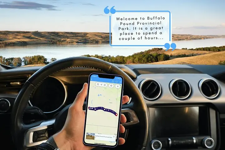
Drive the Trans-Canada with a GPS-triggered audio guide that narrates wildlife, industry, and local legends between Moose Jaw, Regina and the Manitoba border. Download the tour, plug into your car stereo and stop wherever the prairie tempts you.
Drive the Trans-Canada with a GPS-triggered audio guide that narrates wildlife, industry, and local legends between Moose Jaw, Regina and the Manitoba border. Download the tour, plug into your car stereo and stop wherever the prairie tempts you.
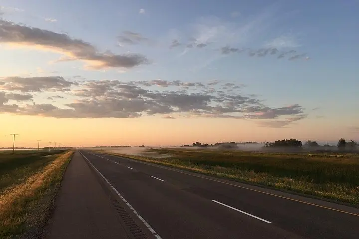
The highway unspools like a prairie ribbon: wheat fields give way to hummocky parkland, gulls wheel over turquoise lakes, and small towns punctuate long horizons. Plug your phone into the stereo, set the GPS-enabled audio route and the recorded guide begins—stories of settlers, wartime heroes, Indigenous place names, and the odd human-scale oddity arrive exactly as you pass them.
Verified experiences and guided adventures in the surrounding area.
Operated by Tripvia Tours · Regina, Saskatchewan
The highway unspools like a prairie ribbon: wheat fields give way to hummocky parkland, gulls wheel over turquoise lakes, and small towns punctuate long horizons. Plug your phone into the stereo, set the GPS-enabled audio route and the recorded guide begins—stories of settlers, wartime heroes, Indigenous place names, and the odd human-scale oddity arrive exactly as you pass them.
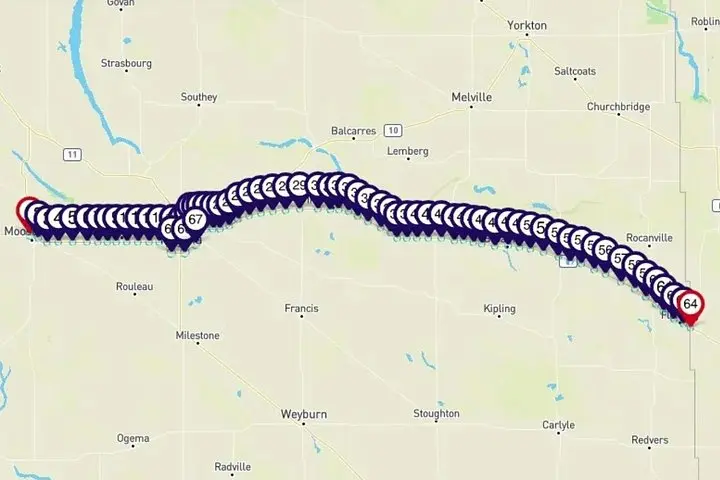
This self-guided driving tour follows the Trans-Canada corridor between Moose Jaw and the Manitoba border via Regina. Expect stops (or pass-bys) that highlight Buffalo Pound Provincial Park’s glacial lake, Regina’s RCMP history and player-culture, potash industry sites, and prairie towns with unique founding stories. Geologically, the Qu’Appelle Valley and Buffalo Pound area reveal Pleistocene sculpting: shallow lakes, hummocks and clay-rich soils that drain into reed-lined shorelines. Culturally, the route threads Métis and First Nations histories with settler-era rail and grain narratives.
Practically: the tour runs 3–4 hours but is designed to be used all day—download the app and audio before you leave to avoid signal gaps. Drive at your own pace; commentary triggers by GPS so you can pull over for photos or a short hike at park access points. Bring a charged phone, windshield mount and local cash for roadside cafés. Watch for agricultural traffic and wide farm vehicles; speed limits and cell use laws still apply.
For travelers who want a low-effort way to read the prairies, this route pairs storytelling with the freedom to stop, explore and learn on your own schedule.
No — the tour requires a one-time download over Wi‑Fi; afterward GPS triggers commentary without consuming mobile data.
Yes — the experience is designed to be started in either direction and will trigger local commentary as you pass points of interest.
One booking covers the vehicle; the audio is intended for everyone in the car to enjoy together.
Most roadside viewing points and many town attractions are accessible, but park trails and some interpretive sites may have uneven or natural surfaces.
Tripvia Tours operates guided outdoor trips and adventures with an emphasis on safety, stewardship, and memorable experiences.

The highway unspools like a prairie ribbon: wheat fields give way to hummocky parkland, gulls wheel over turquoise lakes, and small towns punctuate long horizons. Plug your phone into the stereo, set the GPS-enabled audio route and the recorded guide begins—stories of settlers, wartime heroes, Indigenous place names, and the odd human-scale oddity arrive exactly as you pass them.
The highway unspools like a prairie ribbon: wheat fields give way to hummocky parkland, gulls wheel over turquoise lakes, and small towns punctuate long horizons. Plug your phone into the stereo, set the GPS-enabled audio route and the recorded guide begins—stories of settlers, wartime heroes, Indigenous place names, and the odd human-scale oddity arrive exactly as you pass them.
This self-guided driving tour follows the Trans-Canada corridor between Moose Jaw and the Manitoba border via Regina. Expect stops (or pass-bys) that highlight Buffalo Pound Provincial Park’s glacial lake, Regina’s RCMP history and player-culture, potash industry sites, and prairie towns with unique founding stories. Geologically, the Qu’Appelle Valley and Buffalo Pound area reveal Pleistocene sculpting: shallow lakes, hummocks and clay-rich soils that drain into reed-lined shorelines. Culturally, the route threads Métis and First Nations histories with settler-era rail and grain narratives.
Practically: the tour runs 3–4 hours but is designed to be used all day—download the app and audio before you leave to avoid signal gaps. Drive at your own pace; commentary triggers by GPS so you can pull over for photos or a short hike at park access points. Bring a charged phone, windshield mount and local cash for roadside cafés. Watch for agricultural traffic and wide farm vehicles; speed limits and cell use laws still apply.
For travelers who want a low-effort way to read the prairies, this route pairs storytelling with the freedom to stop, explore and learn on your own schedule.