THE ADVENTURE COLLECTIVE® · Independent discovery and booking for outdoor travel

A coastal hike from Boca de Tomatlán to Playa Las Animas that threads jungle paths and six small beaches. Expect uneven trails, a 3.6 km total hike, local bus transfer and a boat ride back to Puerto Vallarta.
A coastal hike from Boca de Tomatlán to Playa Las Animas that threads jungle paths and six small beaches. Expect uneven trails, a 3.6 km total hike, local bus transfer and a boat ride back to Puerto Vallarta.
You meet at Puerto Vallarta's Romantic Zone and board a local bus that hugs the coastline; the town slips by and the ocean keeps pace, whitecaps daring you toward the next turn.
Verified experiences and guided adventures in the surrounding area.
Operated by Discovering Puerto Vallarta · Puerto Vallarta, Jalisco
You meet at Puerto Vallarta's Romantic Zone and board a local bus that hugs the coastline; the town slips by and the ocean keeps pace, whitecaps daring you toward the next turn.
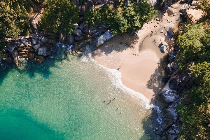
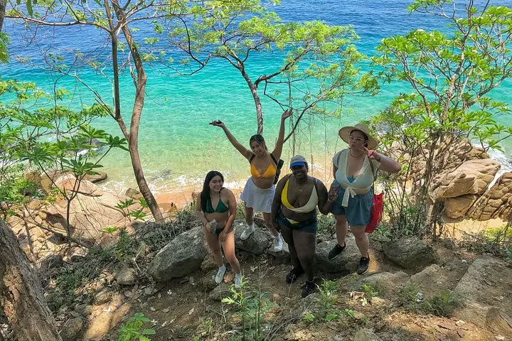
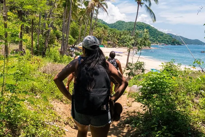
From Boca de Tomatlán you descend onto a trail that threads jungle, rocky headlands and small sandy coves. The first stop is a very small sand pocket popular with visitors; then the route alternates between short jungle scrambles and beach walks as it visits four more beaches before finishing at Playa Las Animas, where the smell of fresh seafood signals the end of the trail and the promise of a boat ride back.
This stretch of Banderas Bay is shaped by tectonic uplift and coastal erosion — cliffs of volcanic and sedimentary rock drop into tropical surf and create protected coves used for fishing for generations. Boca de Tomatlán remains a working fishing village and Las Animas retains that small-beach village feel, with family-run restaurants and wooden piers.
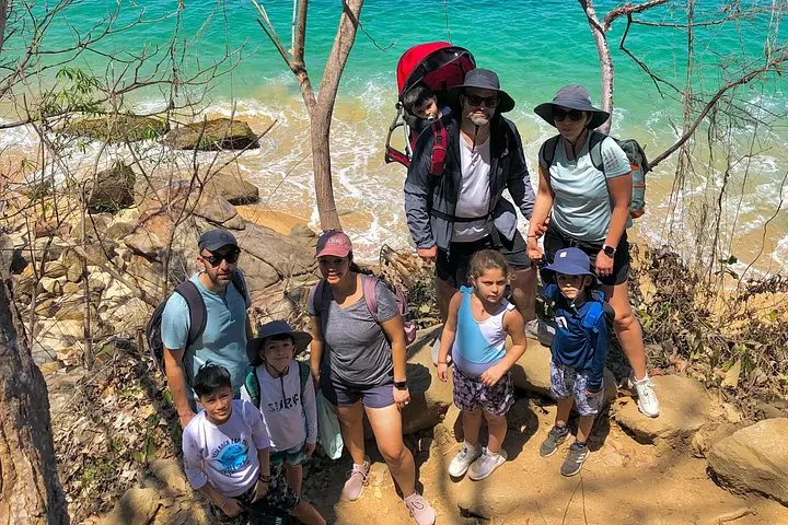
Practical notes: total hiking distance is about 3.6 km (2.3 miles) over uneven trail with short steeper sections; the full tour runs roughly 6–7 hours (9:30am–4pm) including public transit and a return boat. Guides know local tide windows and the safest shoreline lines; this is listed as moderately strenuous—people should be comfortable on uneven terrain and stair-like scrambles. Bring water, sturdy shoes, sun protection and a light waterproof layer in case of spray. The boat return avoids a long road transfer and gives a maritime close to the day.
The walking portion totals roughly 3.6 km (2.3 miles) over uneven terrain with short steep sections; guides rate it moderately strenuous and participants should have a moderate fitness level.
Yes — the tour uses local bus transport along the coast to Boca de Tomatlán and returns by boat to the original point; restaurant meals are not included.
Not recommended for people with serious back, heart issues, pregnant travelers or those unable to manage uneven trails and short scrambles.
Yes — multiple small beaches offer swimming, but currents vary and guides will advise where it is safe; bring swimwear and a towel.
Discovering Puerto Vallarta operates guided outdoor trips and adventures with an emphasis on safety, stewardship, and memorable experiences.
You meet at Puerto Vallarta's Romantic Zone and board a local bus that hugs the coastline; the town slips by and the ocean keeps pace, whitecaps daring you toward the next turn.
You meet at Puerto Vallarta's Romantic Zone and board a local bus that hugs the coastline; the town slips by and the ocean keeps pace, whitecaps daring you toward the next turn.
From Boca de Tomatlán you descend onto a trail that threads jungle, rocky headlands and small sandy coves. The first stop is a very small sand pocket popular with visitors; then the route alternates between short jungle scrambles and beach walks as it visits four more beaches before finishing at Playa Las Animas, where the smell of fresh seafood signals the end of the trail and the promise of a boat ride back.
This stretch of Banderas Bay is shaped by tectonic uplift and coastal erosion — cliffs of volcanic and sedimentary rock drop into tropical surf and create protected coves used for fishing for generations. Boca de Tomatlán remains a working fishing village and Las Animas retains that small-beach village feel, with family-run restaurants and wooden piers.
Practical notes: total hiking distance is about 3.6 km (2.3 miles) over uneven trail with short steeper sections; the full tour runs roughly 6–7 hours (9:30am–4pm) including public transit and a return boat. Guides know local tide windows and the safest shoreline lines; this is listed as moderately strenuous—people should be comfortable on uneven terrain and stair-like scrambles. Bring water, sturdy shoes, sun protection and a light waterproof layer in case of spray. The boat return avoids a long road transfer and gives a maritime close to the day.