THE ADVENTURE COLLECTIVE® · Independent discovery and booking for outdoor travel

See the Atherton Tablelands from above with a short scenic flight over volcanic slopes, coffee terraces and rainforest gullies. This Skybury aerial circuit is a fast, photo-ready way to understand the landscape of Far North Queensland.
See the Atherton Tablelands from above with a short scenic flight over volcanic slopes, coffee terraces and rainforest gullies. This Skybury aerial circuit is a fast, photo-ready way to understand the landscape of Far North Queensland.
Book with Zoom Helicopters
Verified experiences and guided adventures in the surrounding area.
Operated by Zoom Helicopters · Aeroglen, Queensland
Skybury sits just outside Aeroglen, Queensland, Australia, where coastal ranges give way to the high, weathered country of the Atherton Tablelands. From a short scenic flight booked through zoomhelicopters, you sweep over red volcanic slopes, coffee plantations, rainforest gullies and a scatter of crater lakes that mark ancient eruptions. This ride is more than a postcard; it's a practical way to read the landscape. Granite outcrops and basalt flows form steep escarpments that channel rivers into narrow canyons, while pockets of wet tropics rainforest cling to south-facing gullies. Below, the Skybury property reveals long rows of coffee trees and manicured terraces cut into volcanic loam - an agricultural fingerprint uncommon in coastal Queensland. Seasonal flowering and harvest windows bring different colors to the patchwork: lime-green new growth, deep green mature canopies, and burnt-orange dry-season grass. Why book this trip? The aerial perspective turns otherwise subtle elevation changes into visible ridgelines and river courses, making it possible to identify waterfalls, hidden paddocks and the edges of forest reserves in a single circuit. For photographers and first-time visitors, the flight condenses a full day's driving into thirty minutes of continuous panorama. Pilots operating the route can point out geological features and local points of interest, turning the trip into an oriented field lesson on volcanism and land use. Safety and comfort are non-negotiable on this kind of outing. Seats are small and visibility is best at the window - dress in layers for changing wind-chill at altitude. Book morning flights for clearer skies and calmer air; afternoon thermals can shake the cabin. The booking link provided is the best way to confirm aircraft type, passenger limits, and what to bring. This operation acts as a high-visibility gateway to the broader Atherton Tablelands and the Wet Tropics World Heritage landscape: it introduces visitors to terrain that many people only reach after long drives. The contrast between intense agricultural plots and intact rainforest is one of the region's defining visual lessons, and the flight highlights conservation challenges like erosion on steep fields and the need for riparian buffers. Whether you're after a dramatic photo, an accessible geology primer, or a quick survey of rural Queensland, Skybury's aerial circuit gives a crisp, practical view. It's an efficient, high-adrenaline way to understand how fire, flood and farming have shaped this corner of Australia, and why those patterns matter to both visitors and local landholders. Most flights last about 20 to 40 minutes and include commentary from the pilot; luggage and camera policies vary, so check the tour operator before arrival. Accessibility is limited by aircraft seating and weight limits, and operators may restrict participation during wet-season storms. Bring a charged camera, a hat, and your sense of curiosity and patience.
Most circuits last about 20 to 40 minutes; exact duration depends on the route and weather.
Yes—compact cameras and phones are fine; secure them with a strap and follow crew guidance on use.
Flights run year-round but can be suspended during heavy wet-season storms or for maintenance.
Children are allowed but must meet minimum age and weight requirements set by the operator—confirm at booking.
The experience departs from the Skybury/Aeroglen area; check the booking confirmation for exact heliport directions.
Boarding a small helicopter requires stepping up into the cabin; contact the operator in advance to discuss assistance and limitations.
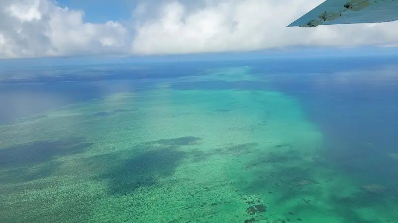
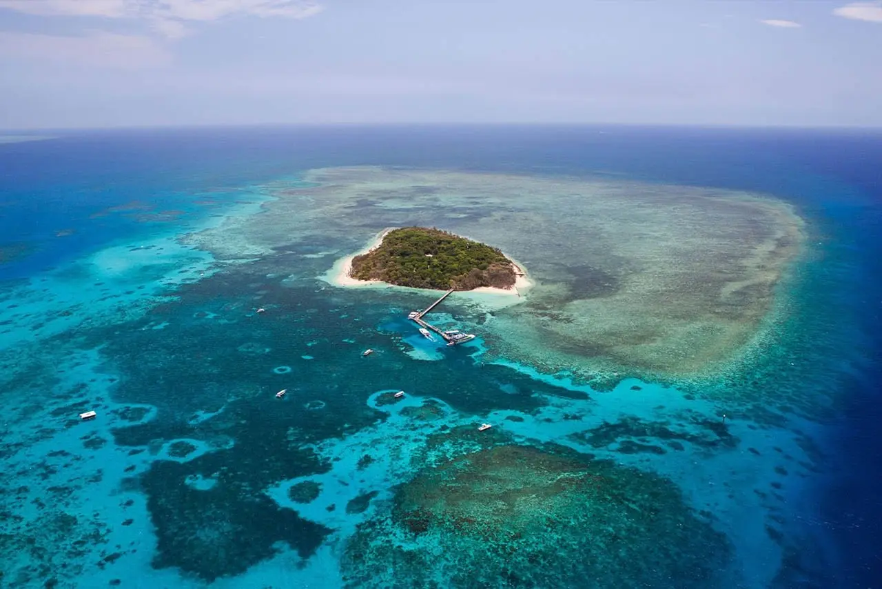
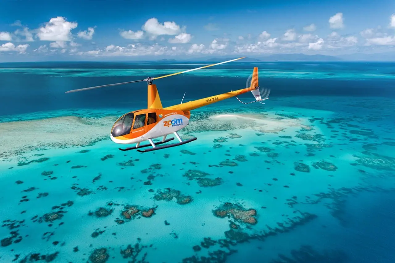
Zoom Helicopters is a Cairns-based scenic helicopter operator offering a diverse selection of aerial tours across Far North Queensland. Operating from Cairns, Queensland, the company provides short city flights and extended reef-and-rainforest combinations that highlight the region’s most recognisable natural features, including the Great Barrier Reef, Green Island, Arlington Reef, Vlasoff Cay, Barron Falls, Kuranda and surrounding coastal vistas. The tour program includes eleven distinct options ranging from 20-minute rainforest scenic flights to 60-minute reef-and-rainforest adventures. Reef-focused itineraries such as the 30-minute and 60-minute Reef Scenic flights showcase islands, coral formations and sand cays, while combined Reef & Rainforest flights offer a broader view of both World Heritage-listed areas. Select tours include a beach landing on Vlasoff Sand Cay when conditions and permits allow, and the Coral Cay Bubbles experience adds a beach stop with sparkling beverages as available. Other itineraries concentrate on the rainforest and tablelands: shorter rainforest scenic flights pass over Barron Gorge, Barron Falls, Kuranda and volcanic lakes, while the Taste of the Tablelands pairs aerial sightseeing with a lunch stop at Skybury Coffee. Departure and return take place in the Cairns area, making these flights convenient for visitors staying in the city. Zoom Helicopters’ schedule accommodates a variety of timeframes and interests with multiple flight durations and route options, providing visitors with accessible ways to view two World Heritage areas from the air. Standard pre-flight safety briefings and passenger instructions are provided, with booking options suitable for solo travellers, couples and small groups at various times.
Book with Zoom Helicopters