THE ADVENTURE COLLECTIVE® · Independent discovery and booking for outdoor travel

Short, thrilling helicopter flights launch from Sevierville for panoramic views across Wears Valley, Bluff Mountain, and the Great Smoky Mountains. In 14–19 minutes you’ll see Mount LeConte, waterfall-fed hollows and the scale of the park from an intimate aerial perspective.
Short, thrilling helicopter flights launch from Sevierville for panoramic views across Wears Valley, Bluff Mountain, and the Great Smoky Mountains. In 14–19 minutes you’ll see Mount LeConte, waterfall-fed hollows and the scale of the park from an intimate aerial perspective.
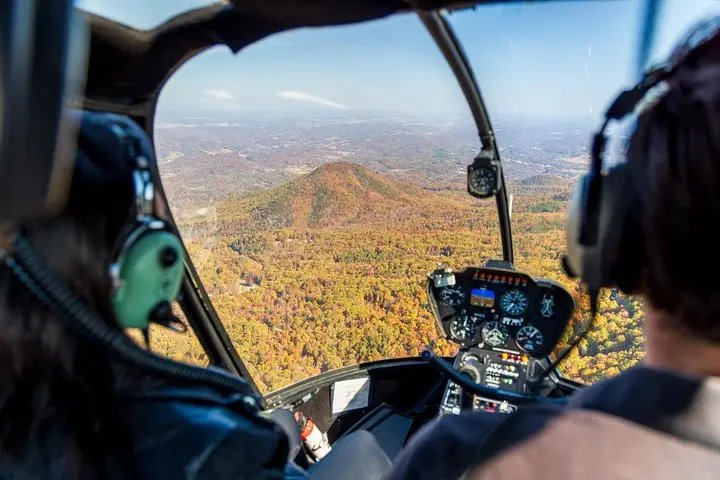
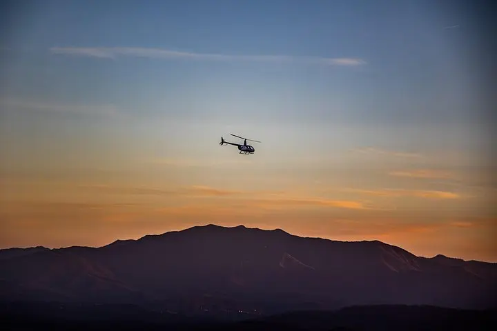
You lift off from a small Sevierville heliport and the valley exhales beneath you — ridgelines fold like pages and the forest pushes up in waves toward the sky. The Mountain Jumper climbs between Wears Valley and Bluff Mountain, giving a close, unbroken line-of-sight across the core of the Great Smoky Mountains.
Verified experiences and guided adventures in the surrounding area.
Operated by MyFlight Tours · Sevierville, Tennessee
You lift off from a small Sevierville heliport and the valley exhales beneath you — ridgelines fold like pages and the forest pushes up in waves toward the sky. The Mountain Jumper climbs between Wears Valley and Bluff Mountain, giving a close, unbroken line-of-sight across the core of the Great Smoky Mountains.
Geology here is ancient: rounded summits of Precambrian and Paleozoic rocks shaped by millions of years of weathering. From the air you read the park’s history in contours — the dark green of mixed hardwood forest, steeper chutes where streams have carved hollows, and the cleared patchwork of foothill communities like Wears Valley and Sevierville.
Culturally, these ridges have long supported Appalachian life — small farms, old logging roads, and town centers that grew from 19th-century crossroads. Flying gives context: the scale of the range, the sweep of human settlement, and the way mist rolls through gaps like a living element testing your resolve.
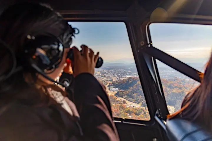
Practical notes: flights are short (roughly 14–19 minutes) and operate from a private heliport close to Pigeon Forge and Sevierville. Expect headset comms, a compact cabin with room for three, and pilot narration pointing out Mount LeConte, Cove Mountain, and Bluff Mountain’s 2,900‑foot crest. Weather cancels are common in low clouds or high wind; dress in layers for a chilly breeze at altitude and secure cameras with wrist straps.
This is a fast, high-impact way to appreciate the Smokies’ scale — ideal for upgrades to a drive-through itinerary or as a standalone aerial primer before hiking or sightseeing on the ground.
Flights run about 14 to 19 minutes depending on routing and weather conditions.
Each helicopter carries up to three passengers; larger groups are split into separate flights.
Tours are subject to weather cancellation for safety—if the pilot deems conditions unsafe you’ll be offered a refund or reschedule.
The facility is wheelchair accessible, but boarding a helicopter may require assistance; check with the operator ahead of time to arrange help.
MyFlight Tours operates guided outdoor trips and adventures with an emphasis on safety, stewardship, and memorable experiences.

You lift off from a small Sevierville heliport and the valley exhales beneath you — ridgelines fold like pages and the forest pushes up in waves toward the sky. The Mountain Jumper climbs between Wears Valley and Bluff Mountain, giving a close, unbroken line-of-sight across the core of the Great Smoky Mountains.
You lift off from a small Sevierville heliport and the valley exhales beneath you — ridgelines fold like pages and the forest pushes up in waves toward the sky. The Mountain Jumper climbs between Wears Valley and Bluff Mountain, giving a close, unbroken line-of-sight across the core of the Great Smoky Mountains.
Geology here is ancient: rounded summits of Precambrian and Paleozoic rocks shaped by millions of years of weathering. From the air you read the park’s history in contours — the dark green of mixed hardwood forest, steeper chutes where streams have carved hollows, and the cleared patchwork of foothill communities like Wears Valley and Sevierville.
Culturally, these ridges have long supported Appalachian life — small farms, old logging roads, and town centers that grew from 19th-century crossroads. Flying gives context: the scale of the range, the sweep of human settlement, and the way mist rolls through gaps like a living element testing your resolve.
Practical notes: flights are short (roughly 14–19 minutes) and operate from a private heliport close to Pigeon Forge and Sevierville. Expect headset comms, a compact cabin with room for three, and pilot narration pointing out Mount LeConte, Cove Mountain, and Bluff Mountain’s 2,900‑foot crest. Weather cancels are common in low clouds or high wind; dress in layers for a chilly breeze at altitude and secure cameras with wrist straps.
This is a fast, high-impact way to appreciate the Smokies’ scale — ideal for upgrades to a drive-through itinerary or as a standalone aerial primer before hiking or sightseeing on the ground.