THE ADVENTURE COLLECTIVE® · Independent discovery and booking for outdoor travel

A compact two-day trekking itinerary that carries you from Marrakesh to the roof of North Africa. Expect long ascents, scree, possible snow and vivid Berber village scenery on the route to Mount Toubkal’s summit.
A compact two-day trekking itinerary that carries you from Marrakesh to the roof of North Africa. Expect long ascents, scree, possible snow and vivid Berber village scenery on the route to Mount Toubkal’s summit.
Dawn breaks over Imlil and the trail climbs through village terraces, mules casting long shadows as you head for the Neltner Refuge. The air thins and the path narrows; scree and stone test each step while the south cirque of Jebel Toubkal looms like a raw wall of rock and snow.
Verified experiences and guided adventures in the surrounding area.
Operated by Imlil Guide · Imlil, Marrakech-Safi
Dawn breaks over Imlil and the trail climbs through village terraces, mules casting long shadows as you head for the Neltner Refuge. The air thins and the path narrows; scree and stone test each step while the south cirque of Jebel Toubkal looms like a raw wall of rock and snow.
Toubkal (4,167 m) is the highest point in the Atlas and North Africa, raised by the collision of the African and Eurasian plates. The route follows ancient village tracks used by Berber communities; you’ll pass stone houses, seasonal fields, and shepherds who still move flocks by hand. Geologically the High Atlas is a worked landscape of steep ridges, scree slopes and weathered bedrock that shapes both trail and view.
The itinerary compresses the climb into two days: a drive from Marrakesh to Imlil (about 1–1.5 hours), a steady ascent to Neltner Refuge (Imlil ~1,745 m to refuge ~3,207 m — ~1,460 m gain), then a pre-dawn summit push (~960 m additional ascent) via the south cirque. Expect steep switchbacks, loose scree, short sections of easy scrambling and possible snow/ice above the refuge in cold months.
Practical edge: start very early on summit day, move at a conservative pace to manage altitude, carry 2–3 L water, sun protection and layered insulation. Microspikes or lightweight crampons and an ice axe are advisable in late fall through spring. A certified local guide and overnight at the refuge simplify logistics and increase safety—altitude, weather and loose terrain demand respect, not haste.
The route involves long ascents with roughly 2,420 m total elevation gain from Imlil; technically it’s non-technical but physically demanding, with loose scree and potential snow.
Guides are strongly recommended for navigation, safety and local logistics; there is no special permit system but organized treks typically coordinate refuge stays and transport.
June–September offers the most stable weather and minimal snow, while late spring and fall provide cooler temperatures but increase the chance of snow above the refuge.
Acute mountain sickness can occur—move slowly, hydrate, eat, and descend immediately if symptoms worsen; spending a night at the refuge helps but does not replace proper acclimatization.
Imlil Guide operates guided outdoor trips and adventures with an emphasis on safety, stewardship, and memorable experiences.
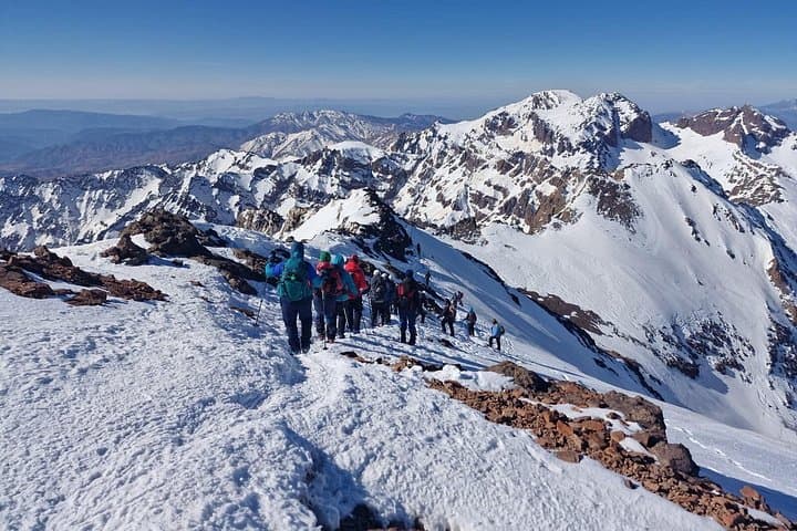
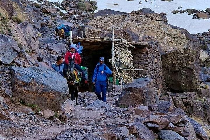
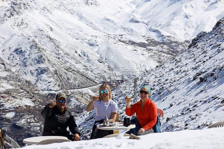
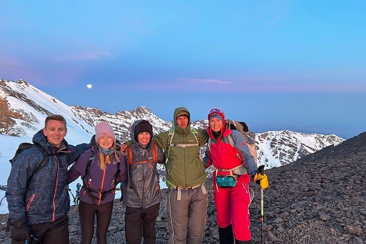
Dawn breaks over Imlil and the trail climbs through village terraces, mules casting long shadows as you head for the Neltner Refuge. The air thins and the path narrows; scree and stone test each step while the south cirque of Jebel Toubkal looms like a raw wall of rock and snow.
Dawn breaks over Imlil and the trail climbs through village terraces, mules casting long shadows as you head for the Neltner Refuge. The air thins and the path narrows; scree and stone test each step while the south cirque of Jebel Toubkal looms like a raw wall of rock and snow.
Toubkal (4,167 m) is the highest point in the Atlas and North Africa, raised by the collision of the African and Eurasian plates. The route follows ancient village tracks used by Berber communities; you’ll pass stone houses, seasonal fields, and shepherds who still move flocks by hand. Geologically the High Atlas is a worked landscape of steep ridges, scree slopes and weathered bedrock that shapes both trail and view.
The itinerary compresses the climb into two days: a drive from Marrakesh to Imlil (about 1–1.5 hours), a steady ascent to Neltner Refuge (Imlil ~1,745 m to refuge ~3,207 m — ~1,460 m gain), then a pre-dawn summit push (~960 m additional ascent) via the south cirque. Expect steep switchbacks, loose scree, short sections of easy scrambling and possible snow/ice above the refuge in cold months.
Practical edge: start very early on summit day, move at a conservative pace to manage altitude, carry 2–3 L water, sun protection and layered insulation. Microspikes or lightweight crampons and an ice axe are advisable in late fall through spring. A certified local guide and overnight at the refuge simplify logistics and increase safety—altitude, weather and loose terrain demand respect, not haste.