THE ADVENTURE COLLECTIVE® · Independent discovery and booking for outdoor travel

A newly opened trail on private land, the Tafelberg hike delivers 8.5 km of limestone ridges, short steep climbs and a summit view over Willemstad and the Spanish Water. Suitable for guided or unguided walkers, the route combines clear markings with rugged Caribbean geology.
A newly opened trail on private land, the Tafelberg hike delivers 8.5 km of limestone ridges, short steep climbs and a summit view over Willemstad and the Spanish Water. Suitable for guided or unguided walkers, the route combines clear markings with rugged Caribbean geology.
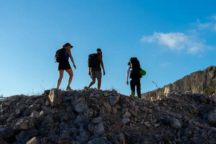
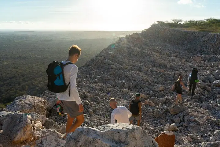
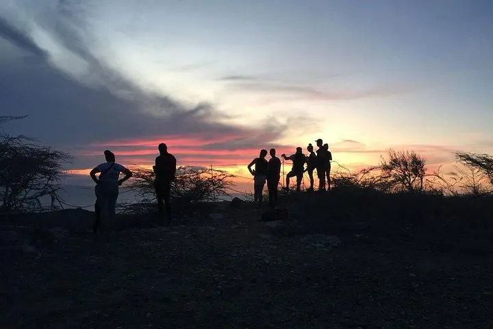
You start on sun-warmed limestone, the sea a distant glint, and a line of color-coded arrows nudges you onto the trail. The scrub opens and closes—flat stretches that let you breathe, then steep steps that ask for a steady foot—and the island’s wind seems to push you toward the summit. At the top, Willemstad and the Spanish Water spread below like an atlas seen from above.
Verified experiences and guided adventures in the surrounding area.
Operated by Rock Climbing Curacao · Willemstad, Curaçao
You start on sun-warmed limestone, the sea a distant glint, and a line of color-coded arrows nudges you onto the trail. The scrub opens and closes—flat stretches that let you breathe, then steep steps that ask for a steady foot—and the island’s wind seems to push you toward the summit. At the top, Willemstad and the Spanish Water spread below like an atlas seen from above.
Tafelberg is on private land recently opened for public access, and the route cuts across old geological layers of coral-derived limestone and karst features that tilt and fracture into small cliffs and ledges. Botanically, the trail shows island-adapted scrub, succulents and scattered trees; you may spot endemic hermit crabs working the shoreline rock pools. The area sits near the historic Santa Barbara estate, linking the hike to Curaçao’s plantation-era landscape and coastal trade routes.
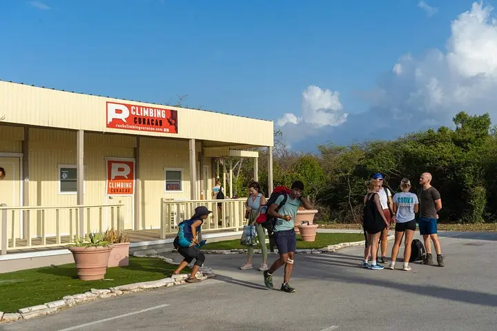
Practically, the trail is about 8.5 km and typically takes roughly 3.5 hours for an average hiker. Expect alternation between hard-packed flats and short, steep sections on limestone rock and loose scree; the path is marked with color-coded arrows and occasional botanical signs. Water and sun protection are non-negotiable—shade is limited. Guided and unguided options exist; unguided hikers check in at the shop for maps and instructions.
Bring sturdy footwear for uneven rock, carry at least 1.5–2L water, and plan your hike for morning or late afternoon to avoid the heat and get the best light on Willemstad below. Respect wildlife—observe hermit crabs from a distance—and leave no trace on this newly accessible slice of Curaçao.
The trail is approximately 8.5 km and averages about 3.5 hours for an average hiker, depending on pace and rest stops.
No—both guided and unguided hikes are possible; unguided hikers check in at the shop for maps and instructions.
No technical climbing is required, but expect short steep sections, uneven limestone and some loose scree where steady footing is important.
The route is suitable for older children and active families, but it’s not recommended for those with significant spinal, heart or pregnancy-related restrictions—see health advisories.
Rock Climbing Curacao operates guided outdoor trips and adventures with an emphasis on safety, stewardship, and memorable experiences.
You start on sun-warmed limestone, the sea a distant glint, and a line of color-coded arrows nudges you onto the trail. The scrub opens and closes—flat stretches that let you breathe, then steep steps that ask for a steady foot—and the island’s wind seems to push you toward the summit. At the top, Willemstad and the Spanish Water spread below like an atlas seen from above.
You start on sun-warmed limestone, the sea a distant glint, and a line of color-coded arrows nudges you onto the trail. The scrub opens and closes—flat stretches that let you breathe, then steep steps that ask for a steady foot—and the island’s wind seems to push you toward the summit. At the top, Willemstad and the Spanish Water spread below like an atlas seen from above.
Tafelberg is on private land recently opened for public access, and the route cuts across old geological layers of coral-derived limestone and karst features that tilt and fracture into small cliffs and ledges. Botanically, the trail shows island-adapted scrub, succulents and scattered trees; you may spot endemic hermit crabs working the shoreline rock pools. The area sits near the historic Santa Barbara estate, linking the hike to Curaçao’s plantation-era landscape and coastal trade routes.
Practically, the trail is about 8.5 km and typically takes roughly 3.5 hours for an average hiker. Expect alternation between hard-packed flats and short, steep sections on limestone rock and loose scree; the path is marked with color-coded arrows and occasional botanical signs. Water and sun protection are non-negotiable—shade is limited. Guided and unguided options exist; unguided hikers check in at the shop for maps and instructions.
Bring sturdy footwear for uneven rock, carry at least 1.5–2L water, and plan your hike for morning or late afternoon to avoid the heat and get the best light on Willemstad below. Respect wildlife—observe hermit crabs from a distance—and leave no trace on this newly accessible slice of Curaçao.