THE ADVENTURE COLLECTIVE® · Independent discovery and booking for outdoor travel

Launch from Cerro Blanco and float above Guayaquil’s mangroves and the Guayas River on a 15-minute tandem paraglide. This short, weather-dependent flight combines a rugged 4x4 approach, a safety briefing and clear city-and-coast panoramas.
Launch from Cerro Blanco and float above Guayaquil’s mangroves and the Guayas River on a 15-minute tandem paraglide. This short, weather-dependent flight combines a rugged 4x4 approach, a safety briefing and clear city-and-coast panoramas.
The wind lifts and for a few suspended breaths the city unfolds beneath: a patchwork of mangroves, the wide sweep of the Guayas River and tin-roof neighborhoods slipping away as the pilot trims the wing. Launch at Bototillo — a cliff-side track on the Chongón–Colonche slope of Cerro Blanco — begins with a rough 4x4 climb, a quick safety briefing and the low hum of thermals gathering.
Verified experiences and guided adventures in the surrounding area.
Operated by Parapente Montanita · Guayaquil, Guayas
The wind lifts and for a few suspended breaths the city unfolds beneath: a patchwork of mangroves, the wide sweep of the Guayas River and tin-roof neighborhoods slipping away as the pilot trims the wing. Launch at Bototillo — a cliff-side track on the Chongón–Colonche slope of Cerro Blanco — begins with a rough 4x4 climb, a quick safety briefing and the low hum of thermals gathering.
Cerro Blanco sits on old coastal sediments above Guayaquil and forms part of a dry-forest island that contrasts sharply with the tidal mangroves below. The ridge has long been a local landmark for travelers and birdwatchers; from the air you see how geology, river flow and trade shaped the port city’s spread. Local pilots prize early-morning flights for cleaner air and steady lift; afternoons can bring stronger thermals and gusts.
Expect a compact experience: about 15 minutes of actual flight within a 1–2 hour window for meeting, gear and transport. Guides provide a technical talk, thermal suits and tandem harnessing; riders simply need basic mobility and a sense of balance for a short running launch. Bring a securely attached camera, layered clothing for chill at altitude, and plan for quick weather-dependent scheduling. Operators often limit weight, and flights cancel in unstable conditions, so confirm limits and arrival times in advance.
This is an accessible aerial adventure: short, intense and rewarding for anyone wanting an immediate, high-perspective view of Guayaquil’s river, gulf and green islands.
The airborne portion is about 15 minutes; plan on 1–2 hours total including transport, briefing and gearing up.
Limits vary by operator and pilot; most tandems set a maximum between ~95–120 kg (210–265 lb) and have minimum age/height requirements—confirm when booking.
Flights are weather-dependent and will be canceled or rescheduled in strong winds, rain or low visibility; operators typically offer full refunds within the stated cancellation window.
No prior experience required; tandem flights are guided and suitable for people in general good health who can perform a short running launch.
Parapente Montanita operates guided outdoor trips and adventures with an emphasis on safety, stewardship, and memorable experiences.
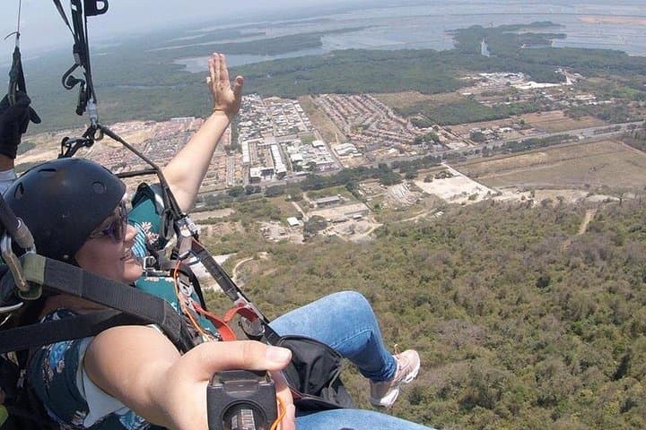
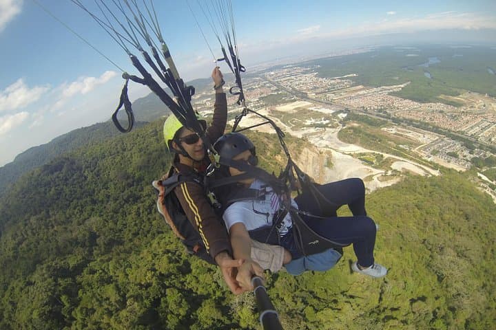
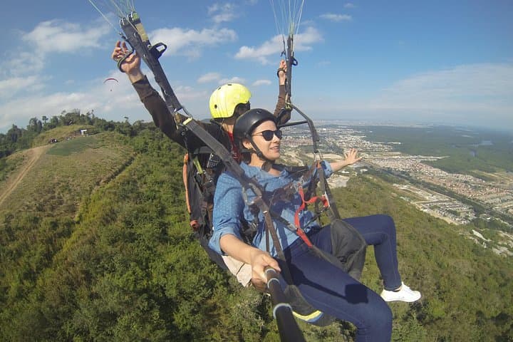
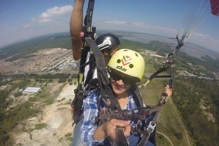
The wind lifts and for a few suspended breaths the city unfolds beneath: a patchwork of mangroves, the wide sweep of the Guayas River and tin-roof neighborhoods slipping away as the pilot trims the wing. Launch at Bototillo — a cliff-side track on the Chongón–Colonche slope of Cerro Blanco — begins with a rough 4x4 climb, a quick safety briefing and the low hum of thermals gathering.
The wind lifts and for a few suspended breaths the city unfolds beneath: a patchwork of mangroves, the wide sweep of the Guayas River and tin-roof neighborhoods slipping away as the pilot trims the wing. Launch at Bototillo — a cliff-side track on the Chongón–Colonche slope of Cerro Blanco — begins with a rough 4x4 climb, a quick safety briefing and the low hum of thermals gathering.
Cerro Blanco sits on old coastal sediments above Guayaquil and forms part of a dry-forest island that contrasts sharply with the tidal mangroves below. The ridge has long been a local landmark for travelers and birdwatchers; from the air you see how geology, river flow and trade shaped the port city’s spread. Local pilots prize early-morning flights for cleaner air and steady lift; afternoons can bring stronger thermals and gusts.
Expect a compact experience: about 15 minutes of actual flight within a 1–2 hour window for meeting, gear and transport. Guides provide a technical talk, thermal suits and tandem harnessing; riders simply need basic mobility and a sense of balance for a short running launch. Bring a securely attached camera, layered clothing for chill at altitude, and plan for quick weather-dependent scheduling. Operators often limit weight, and flights cancel in unstable conditions, so confirm limits and arrival times in advance.
This is an accessible aerial adventure: short, intense and rewarding for anyone wanting an immediate, high-perspective view of Guayaquil’s river, gulf and green islands.