THE ADVENTURE COLLECTIVE® · Independent discovery and booking for outdoor travel

Top Tibba is the highest peak near Mussoorie at roughly 8,500 ft—an uphill, four-hour day hike that rewards persistent climbers with wide Himalayan vistas and rich forest wildlife. Read on for trail details, logistics, and local tips to plan your day on the ridge.
Top Tibba is the highest peak near Mussoorie at roughly 8,500 ft—an uphill, four-hour day hike that rewards persistent climbers with wide Himalayan vistas and rich forest wildlife. Read on for trail details, logistics, and local tips to plan your day on the ridge.
You round a forested switchback and the ridge opens: wind pushes across scrub pines and the valley below stretches out in compressed layers of fields and villages. At 8,500 ft, the Top Tibba summit feels like a natural amphitheater—snow-packed Himalayan teeth hold the horizon while crows and kites wheel above.
Verified experiences and guided adventures in the surrounding area.
Operated by Easy Prime Holidays · Mussoorie, Uttarakhand
You round a forested switchback and the ridge opens: wind pushes across scrub pines and the valley below stretches out in compressed layers of fields and villages. At 8,500 ft, the Top Tibba summit feels like a natural amphitheater—snow-packed Himalayan teeth hold the horizon while crows and kites wheel above.
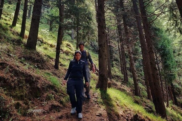
Geologically the trail follows older shale and quartzite outcrops carved by monsoon torrents; culturally the slopes belong to the Garhwal region whose villages and colonial-era hill town Mussoorie lie below. The route threads mixed oak and pine forest that supports barking deer, kalij pheasants and the occasional leopard—wildlife sightings are possible but never guaranteed. Raptors are constant companions; thermals dare you to look up as you gain the final ridge.
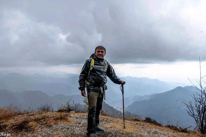
Expect sustained uphill hiking with short steep pitches and loose scree near the summit. The full out-and-back is typically completed in about four hours for a fit party; altitude can make breathing feel heavier than at sea level. Start early to catch the clearest views and avoid midday clouds. Wear sturdy trail shoes for rocky sections, pack layers for rapid weather change, and carry at least 2 liters of water—there are no reliable springs on the line.
Logistics: access from Mussoorie town or nearby trailheads, local guides and trekking instructors are common, and basic first-aid is provided on organized treks. Leave no trace, keep noise low in wildlife zones, and plan around monsoon and winter closures when trails can be slippery or snow-bound.
Organized trips list about four hours round-trip with sustained uphill sections; difficulty is challenging for beginners due to elevation gain and loose terrain.
No formal permits are generally required, but hiring a local guide or joining an organized trek improves navigation and wildlife awareness.
Clear views are most reliable in late winter to spring (Feb–May) and autumn (Sept–Nov); monsoon months bring slippery trails and reduced visibility.
Keep to the trail, store food securely, avoid hiking alone at dawn/dusk, and follow your guide’s instructions if wildlife is encountered.
Easy Prime Holidays operates guided outdoor trips and adventures with an emphasis on safety, stewardship, and memorable experiences.
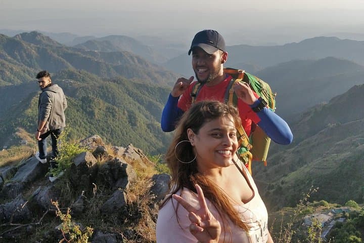
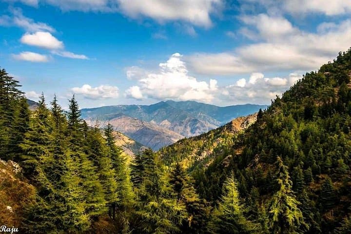
You round a forested switchback and the ridge opens: wind pushes across scrub pines and the valley below stretches out in compressed layers of fields and villages. At 8,500 ft, the Top Tibba summit feels like a natural amphitheater—snow-packed Himalayan teeth hold the horizon while crows and kites wheel above.
You round a forested switchback and the ridge opens: wind pushes across scrub pines and the valley below stretches out in compressed layers of fields and villages. At 8,500 ft, the Top Tibba summit feels like a natural amphitheater—snow-packed Himalayan teeth hold the horizon while crows and kites wheel above.
Geologically the trail follows older shale and quartzite outcrops carved by monsoon torrents; culturally the slopes belong to the Garhwal region whose villages and colonial-era hill town Mussoorie lie below. The route threads mixed oak and pine forest that supports barking deer, kalij pheasants and the occasional leopard—wildlife sightings are possible but never guaranteed. Raptors are constant companions; thermals dare you to look up as you gain the final ridge.
Expect sustained uphill hiking with short steep pitches and loose scree near the summit. The full out-and-back is typically completed in about four hours for a fit party; altitude can make breathing feel heavier than at sea level. Start early to catch the clearest views and avoid midday clouds. Wear sturdy trail shoes for rocky sections, pack layers for rapid weather change, and carry at least 2 liters of water—there are no reliable springs on the line.
Logistics: access from Mussoorie town or nearby trailheads, local guides and trekking instructors are common, and basic first-aid is provided on organized treks. Leave no trace, keep noise low in wildlife zones, and plan around monsoon and winter closures when trails can be slippery or snow-bound.