THE ADVENTURE COLLECTIVE® · Independent discovery and booking for outdoor travel

Climb to Top Tibba for wide Himalayan vistas and a chance to explore Dhanaulti’s quieter forest ridges. This full-day trek rewards early starts with clear panoramic views of the Doon Valley and, occasionally, Nanda Devi.
Climb to Top Tibba for wide Himalayan vistas and a chance to explore Dhanaulti’s quieter forest ridges. This full-day trek rewards early starts with clear panoramic views of the Doon Valley and, occasionally, Nanda Devi.
A cool predawn hush hangs over the ridge as you start up from Suakholi; pines breathe mist into the path and the first rays coax the ridgelines of the Himalaya into silhouette. By the time you reach Top Tibba — recorded on local guides at about 8,800 ft asl — the valley below has opened: the Doon Valley to the south, the layered Shivalik foothills close at hand, and on exceptionally clear mornings Nanda Devi peering 242 km to the east.
Verified experiences and guided adventures in the surrounding area.
Operated by Yeti Outdoors · Mussoorie, Uttarakhand
A cool predawn hush hangs over the ridge as you start up from Suakholi; pines breathe mist into the path and the first rays coax the ridgelines of the Himalaya into silhouette. By the time you reach Top Tibba — recorded on local guides at about 8,800 ft asl — the valley below has opened: the Doon Valley to the south, the layered Shivalik foothills close at hand, and on exceptionally clear mornings Nanda Devi peering 242 km to the east.
Top Tibba takes its name from the Garhwali word for 'hill' and sits on the eastern approaches of Mussoorie, where geology shifts from folded Shivalik ridges to the higher crystalline ranges. The route follows forest tracks and grassy clearings, crossing mixed deodar and oak stands. Local culture is present in small farm clearings and seasonal shepherding; nearby Dhanaulti grew as a quieter counterpoint to Mussoorie and now offers simple eco-parks and village viewpoints.
Expect a full-day outing best started before sunrise; visibility and cool morning air make the panoramic payoff worth the early alarm. Prepare for moderate but sustained climbing on uneven trails and occasional loose scree nearer the summit.
Practical notes: carry layered clothing and rain protection, bring snacks and at least two liters of water, and allow time for descent before late-afternoon clouds build. Respect trail etiquette and local private land — many footpaths cross grazing and cultivated plots. With clear weather, the views reward steady effort; with clouds, the walk still delivers quiet forest and clean mountain air.
The outing is a full-day activity; allow roughly 6–8 hours including approach, summit time, and return depending on pace and transfer times.
Hikers with a moderate fitness base and comfort on uneven trails can complete it; those with spinal, pregnancy, or serious heart conditions should avoid strenuous sections.
Yes—on exceptionally clear days the high Himalayan peak Nanda Devi can be visible to the east, though haze often limits long-distance views.
Local guides are recommended for navigation and local insight; there are no formal permits for day hikers, but respect private land and any village instructions.
Yeti Outdoors operates guided outdoor trips and adventures with an emphasis on safety, stewardship, and memorable experiences.
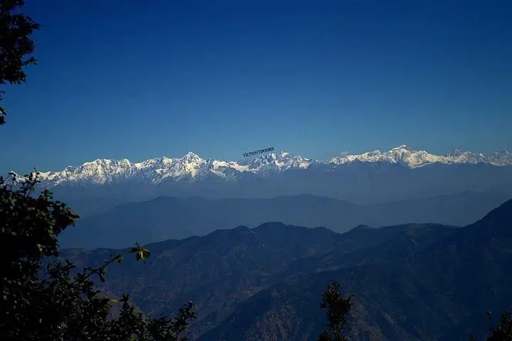
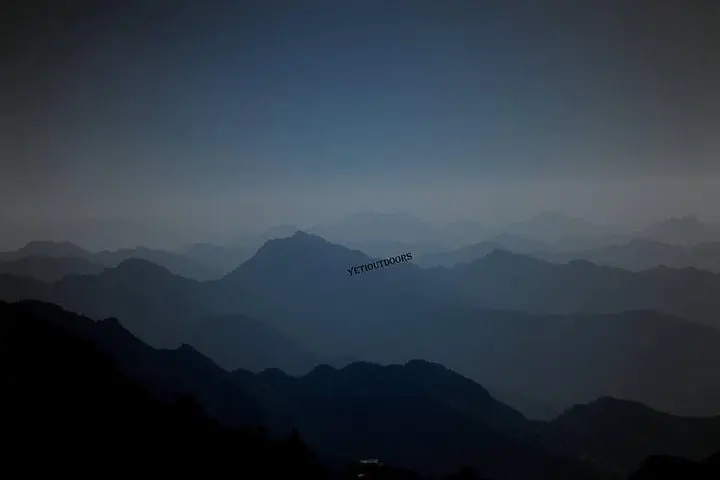
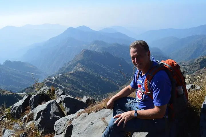
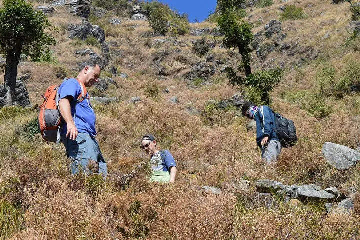
A cool predawn hush hangs over the ridge as you start up from Suakholi; pines breathe mist into the path and the first rays coax the ridgelines of the Himalaya into silhouette. By the time you reach Top Tibba — recorded on local guides at about 8,800 ft asl — the valley below has opened: the Doon Valley to the south, the layered Shivalik foothills close at hand, and on exceptionally clear mornings Nanda Devi peering 242 km to the east.
A cool predawn hush hangs over the ridge as you start up from Suakholi; pines breathe mist into the path and the first rays coax the ridgelines of the Himalaya into silhouette. By the time you reach Top Tibba — recorded on local guides at about 8,800 ft asl — the valley below has opened: the Doon Valley to the south, the layered Shivalik foothills close at hand, and on exceptionally clear mornings Nanda Devi peering 242 km to the east.
Top Tibba takes its name from the Garhwali word for 'hill' and sits on the eastern approaches of Mussoorie, where geology shifts from folded Shivalik ridges to the higher crystalline ranges. The route follows forest tracks and grassy clearings, crossing mixed deodar and oak stands. Local culture is present in small farm clearings and seasonal shepherding; nearby Dhanaulti grew as a quieter counterpoint to Mussoorie and now offers simple eco-parks and village viewpoints.
Expect a full-day outing best started before sunrise; visibility and cool morning air make the panoramic payoff worth the early alarm. Prepare for moderate but sustained climbing on uneven trails and occasional loose scree nearer the summit.
Practical notes: carry layered clothing and rain protection, bring snacks and at least two liters of water, and allow time for descent before late-afternoon clouds build. Respect trail etiquette and local private land — many footpaths cross grazing and cultivated plots. With clear weather, the views reward steady effort; with clouds, the walk still delivers quiet forest and clean mountain air.