THE ADVENTURE COLLECTIVE® · Independent discovery and booking for outdoor travel

Run from crater rims into cloud forest on a 57‑mile, four‑day traverse through Pululahua, Yunguilla and Maquipucuna. This guided route pairs high‑altitude climbs with ancient culucos and community homestays.
Run from crater rims into cloud forest on a 57‑mile, four‑day traverse through Pululahua, Yunguilla and Maquipucuna. This guided route pairs high‑altitude climbs with ancient culucos and community homestays.
The first light in the highlands paints volcanic ridges a hard silver as runners step onto the rim of Pululahua. Wind pulls at the pack shoulder straps and the crater below hums — farms, forest, a small valley that seems to breathe. Over four days the Oso route stitches crater floor, cloud forest and ancestral trade paths into 57 miles of singletrack and old stone culucos that force a slow, steady cadence.
Verified experiences and guided adventures in the surrounding area.
Operated by Runa Adventures · Quito, Pichincha
The first light in the highlands paints volcanic ridges a hard silver as runners step onto the rim of Pululahua. Wind pulls at the pack shoulder straps and the crater below hums — farms, forest, a small valley that seems to breathe. Over four days the Oso route stitches crater floor, cloud forest and ancestral trade paths into 57 miles of singletrack and old stone culucos that force a slow, steady cadence.
Geology and human history sit side by side here: Pululahua is one of the world’s few inhabited calderas, carved by long-ago eruptions and fertilized into productive slopes. The Yumbo people used these worn trails for trade long before Inca roads; today communities like Yunguilla keep agroforestry practices that shape the landscape. The cloud forest around Maquipucuna preserves huge tree species and hosts an astonishing bird list — the forest will watch you run, not rush you.
Expect steep ascents to ~8,800 ft, sustained descents into humid canopies, and technical singletrack that can be slick after rain. Daily mileage ranges from 14–21 miles across varied surfaces: packed volcanic soil, rocky switchbacks, rooty rainforest corridors, and narrow community paths.
Practical edge: acclimatize 24–48 hours in Quito, carry a 1–1.5L hydration system plus electrolytes, and choose trail shoes with aggressive lugs and good rock protection. Respect homestay etiquette in Yunguilla, and plan for quick clothing changes — the Andes will offer sun, wind and sudden cloud bursts in a single day.
Participants should have high cardiovascular fitness and experience with long, multi‑day trail runs; expect sustained ascents and back‑to‑back running days.
The itinerary reaches roughly 8,800 ft (≈2,680 m); acclimatization in Quito for 24–48 hours is strongly recommended to reduce altitude effects.
Yes — meals listed in the itinerary (breakfast/lunch/dinner) and community homestays or ecolodge accommodations are provided per the program.
Bring quick‑dry layers and a waterproof shell; use shoes with good drainage and lugs, and be prepared to slow pace on muddy or rooty sections.
Runa Adventures operates guided outdoor trips and adventures with an emphasis on safety, stewardship, and memorable experiences.
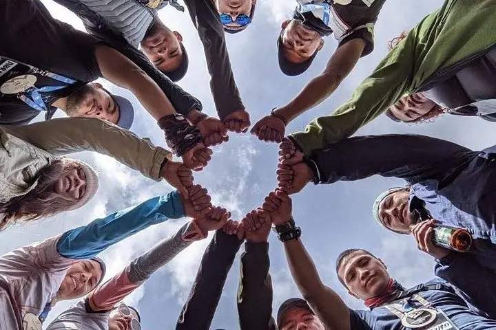
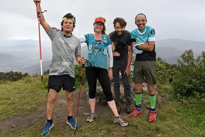
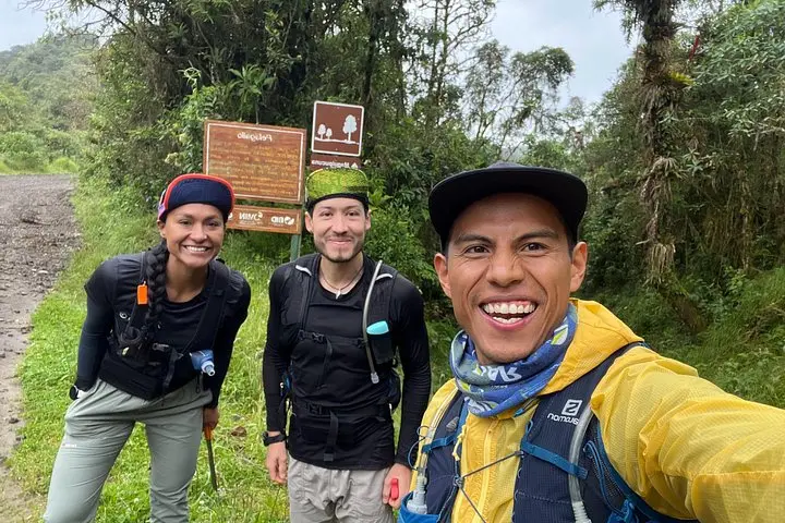
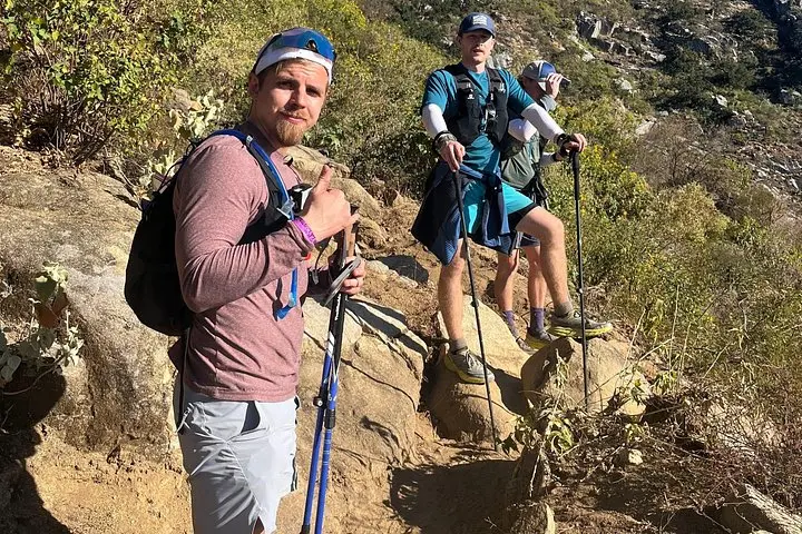
The first light in the highlands paints volcanic ridges a hard silver as runners step onto the rim of Pululahua. Wind pulls at the pack shoulder straps and the crater below hums — farms, forest, a small valley that seems to breathe. Over four days the Oso route stitches crater floor, cloud forest and ancestral trade paths into 57 miles of singletrack and old stone culucos that force a slow, steady cadence.
The first light in the highlands paints volcanic ridges a hard silver as runners step onto the rim of Pululahua. Wind pulls at the pack shoulder straps and the crater below hums — farms, forest, a small valley that seems to breathe. Over four days the Oso route stitches crater floor, cloud forest and ancestral trade paths into 57 miles of singletrack and old stone culucos that force a slow, steady cadence.
Geology and human history sit side by side here: Pululahua is one of the world’s few inhabited calderas, carved by long-ago eruptions and fertilized into productive slopes. The Yumbo people used these worn trails for trade long before Inca roads; today communities like Yunguilla keep agroforestry practices that shape the landscape. The cloud forest around Maquipucuna preserves huge tree species and hosts an astonishing bird list — the forest will watch you run, not rush you.
Expect steep ascents to ~8,800 ft, sustained descents into humid canopies, and technical singletrack that can be slick after rain. Daily mileage ranges from 14–21 miles across varied surfaces: packed volcanic soil, rocky switchbacks, rooty rainforest corridors, and narrow community paths.
Practical edge: acclimatize 24–48 hours in Quito, carry a 1–1.5L hydration system plus electrolytes, and choose trail shoes with aggressive lugs and good rock protection. Respect homestay etiquette in Yunguilla, and plan for quick clothing changes — the Andes will offer sun, wind and sudden cloud bursts in a single day.